
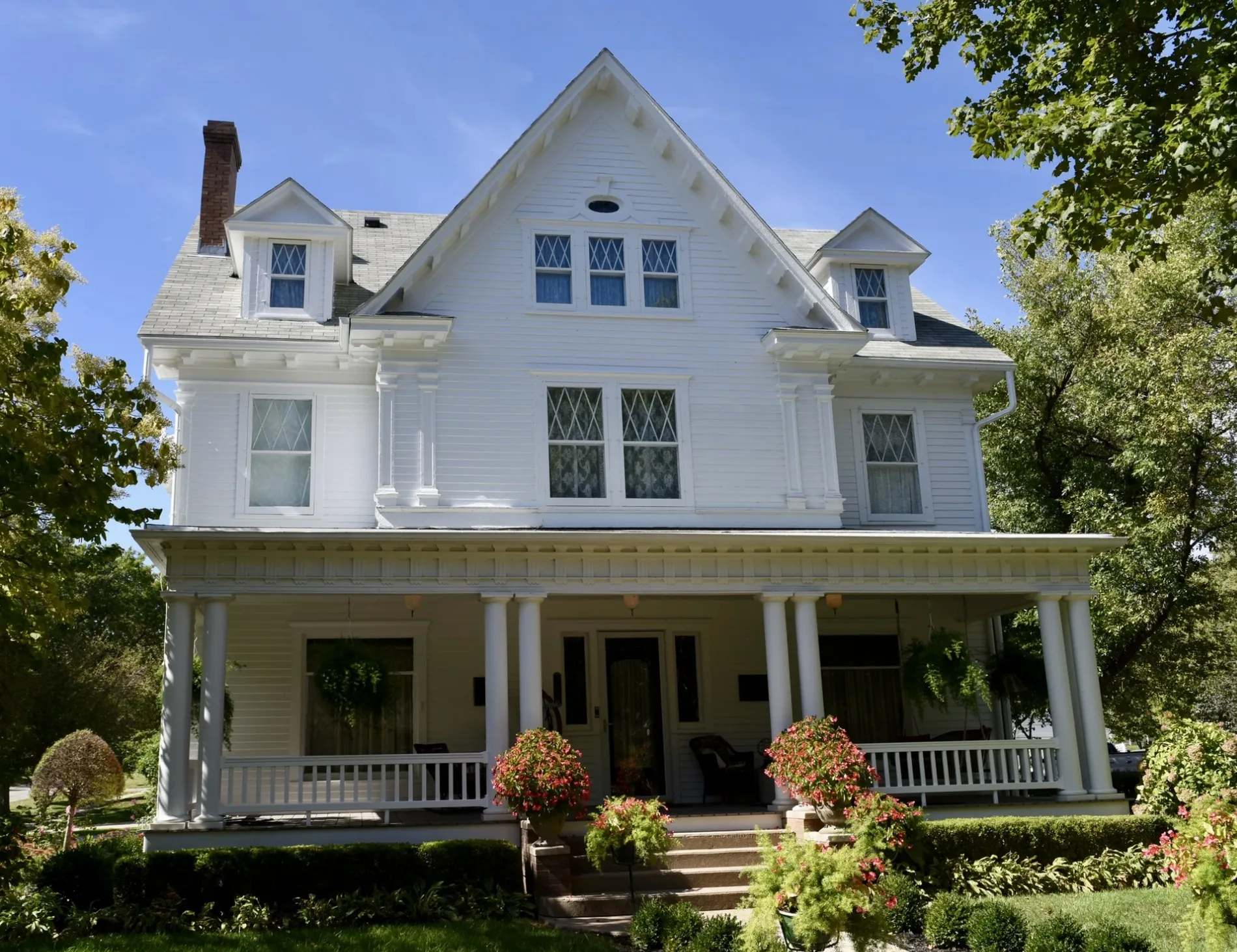
East Tarkio Street in Clarinda, Iowa
East Tarkio Street in Clarinda is a residential street. It runs in an east-west direction starting from West Tarkio Street and crosses North 16th Street, North 15th Street, North 14th Street, North 13th Street, North 12th Street, North 11th Street and North 10th Street and ends at North 9th Street.
- Road Type
- residential street
- Route
- east-west
Image
Beauty salons
Funeral homes
Clothing stores
Town halls
Florists
Restaurants
Police stations
Opticians
Dentist offices
Hardware stores
Banks
Cafes
Prisons
Bars
Fast food restaurants
Cell phone stores
Streets nearby
East Nodaway Street0.1 mi
East Nishna Street0.1 mi
North 13th Street0.2 mi
Nodaway Street0.2 mi
North 14th StreetFirst Interstate Bank
0.2 mi
East Lincoln StreetPage County Sheriff's Office, Page County Jail
0.2 mi
East Scidmore Street0.2 mi
North 11th Street0.2 mi
East State Street0.2 mi
North 10th Street0.2 mi
North 16th StreetClarinda Nutrition, Uptown Styles Salon & Day Spa, Garrison House, Clarinda Flower Shop, Clarinda Academy, El Sarape Mexican Restaurant, MJ’s Comeback
0.2 mi
North 15th StreetJ. Bruner's Restaurant, Mindful Beauty Day Spa & Boutique
0.2 mi
East Vine Street0.2 mi
East Chestnut StreetMi Casita
0.3 mi
Vine Street0.3 mi
North 12th StreetWalker-Merrick-Billings Funeral Chapel
0.3 mi
North 9th Street0.3 mi
East Washington StreetClarinda, Whispering Pines Boutique & Home Decor, Clarinda Family Dentistry, PCSB Bank, J’s Pizza & Steak House, Robin's Nest Cafe and Bakery, Eyecare Associates of Southwest Iowa
0.3 mi
North 17th Street0.3 mi
West Vine Street0.3 mi
West Lincoln Street0.3 mi
West Tarkio Street0.4 mi
West Nishna Street0.4 mi
East Walnut Street0.4 mi
West Nodaway Street0.4 mi
East Main StreetClarinda City Hall, U.S. Cellular, Bank Iowa, Cornerstone Bank, D & D Treasures, Sonrisers Popcorn, Hilton Wedding Boutique, Easter's True Value
0.4 mi
North 8th Street0.4 mi
North 18th Street0.4 mi
West Chestnut Street0.4 mi
South 13th Street0.4 mi
North 6th Street0.5 mi
North 7th Street0.5 mi
South 10th Street0.5 mi
East Stuart StreetClarinda Police Department
0.5 mi
Cemeteries nearby
Clarinda Cemetery0.4 mi
Convenience stores nearby
Casey's General Store0.3 mi
Courthouses nearby
Page County Courthouse0.4 mi
Fire stations nearby
Clarinda Fire Department0.3 mi
Industrial buildings nearby
EZ Way0.4 mi
Lisle Corporation0.5 mi
Museums nearby
Clarinda Carnegie Art Museum0.4 mi
Places of worship nearby
Saint Clare Catholic Church0.2 mi
Saint John Lutheran Church0.3 mi
Clarinda Free Methodist Church0.3 mi
First Christian Church0.3 mi
Westminster Presbyterian Church0.3 mi
Clarinda Reformed Presbyterian Church0.4 mi
Post offices nearby
Clarinda Post Office0.5 mi
Technical colleges nearby
Optiz Hall0.5 mi
Public transit map Clarinda Legend
| Railway | |
| Bus | |
| Streetcar |
Bicycle map Clarinda Legend
| Bike path | |
| Bike lane on roadway | |
| Cycling allowed on bus lane | |
| Bicycle street | |
| Open to cyclists | |
| Open to cyclists, good path | |
| Cycling prohibited | |
| Cobblestone |
| Long-distance bike route | (depending on scale) | |
| Long-distance bike route |
Pedestrian map Clarinda Legend
| Path |
| Long-distance hiking trail | (depending on scale) | |
| Long-distance hiking trail | ||
| Pedestrians prohibited |