
Clarinda Avenue in College Springs, Iowa
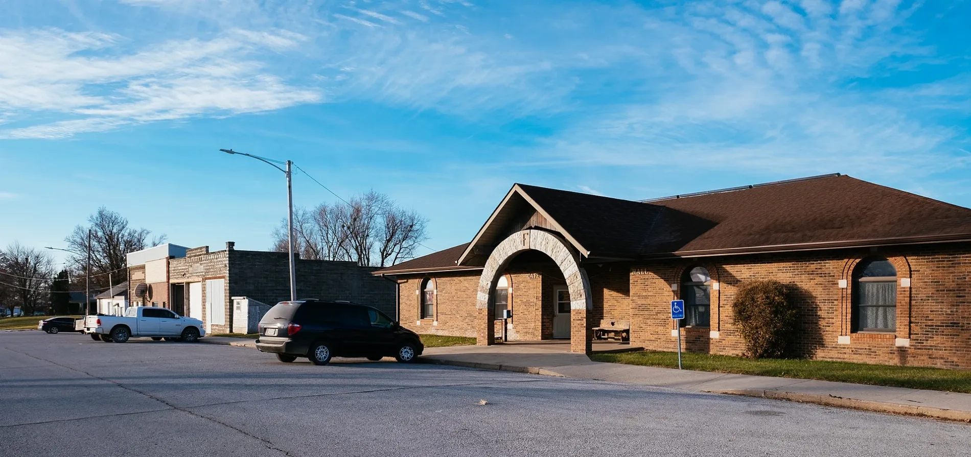
Clarinda Avenue in College Springs is a residential street and runs in a north-south direction starting from Locust Street and crosses Spruce Street and ends at Pine Street.
- Road Type
- residential street
- Route
- north-south
Image
Post offices
Places of worship
Streets nearby
Spruce Street200 ft
Locust Street0.2 mi
Galesburg Avenue0.2 mi
Page Street0.2 mi
Missouri AvenueCollege Springs, College Springs Post Office, College Springs City Hall
0.2 mi
Glen Avenue0.2 mi
Grove Street0.2 mi
Omaha Avenue0.3 mi
Pine StreetPresbyterian Church
0.3 mi
School Street0.3 mi
Kansas Street0.4 mi
Nebraska Street0.4 mi
Oberlin Avenue0.4 mi
Iowa Avenue0.4 mi
Nodaway Street0.5 mi
Spring Street0.5 mi
Green Street0.5 mi
Franklin Avenue0.6 mi
Iowa Street0.6 mi
South Street0.6 mi
Park Avenue0.6 mi
Liberty Street0.6 mi
Maple Street0.8 mi
298th Street0.9 mi
N Avenue1.1 mi
290th Street1.2 mi
Oak Avenue1.7 mi
Maple Avenue1.7 mi
P AvenueImmanuel Lutheran Church
1.7 mi
280th Street1.7 mi
304th Street1.8 mi
Nutmeg Avenue2.1 mi
M Avenue2.1 mi
302nd Street2.1 mi
270th StreetCoin City Hall
2.3 mi
310th Street2.4 mi
L Avenue2.4 mi
O AvenueBethesda
2.6 mi
Q Avenue2.7 mi
300th Street2.7 mi
320th Street2.8 mi
322nd Street3.0 mi
Canyon Road3.2 mi
Ara Colony Road3.2 mi
260th Street3.4 mi
Bobcat Road3.5 mi
110th StreetMount Tabor School, North Prairie School
3.7 mi
Public transit map College Springs Legend
| Railway | |
| Bus | |
| Streetcar |
Bicycle map College Springs Legend
| Bike path | |
| Bike lane on roadway | |
| Cycling allowed on bus lane | |
| Bicycle street | |
| Open to cyclists | |
| Open to cyclists, good path | |
| Cycling prohibited | |
| Cobblestone |
| Long-distance bike route | (depending on scale) | |
| Long-distance bike route |
Pedestrian map College Springs Legend
| Path |
| Long-distance hiking trail | (depending on scale) | |
| Long-distance hiking trail | ||
| Pedestrians prohibited |