
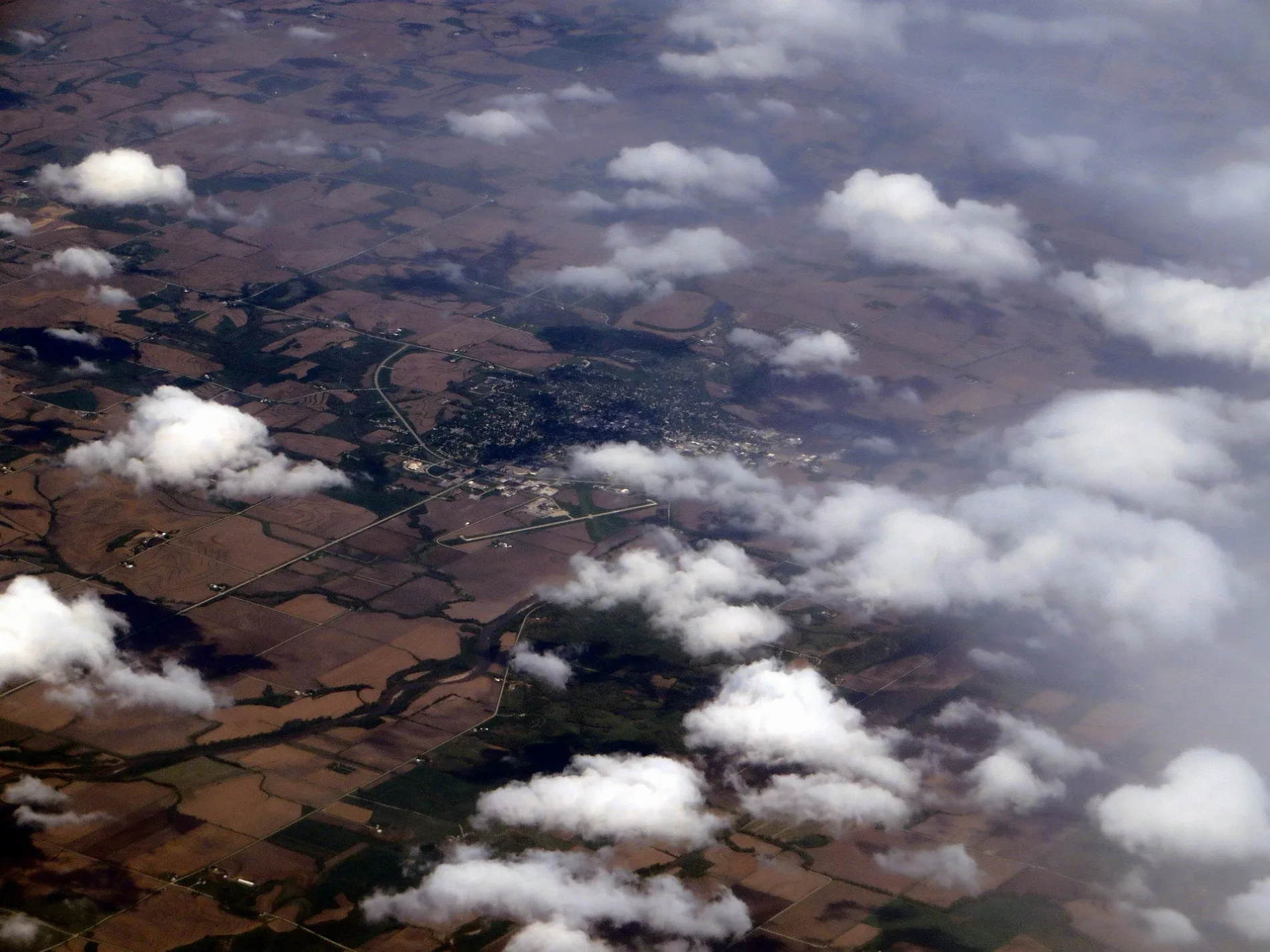
East Garfield Street in Clarinda, Iowa
East Garfield Street in Clarinda is a concrete local road. It runs in an east-west direction starting from West Garfield Street and crosses South 16th Street, South 15th Street, South 14th Street, South 13th Street, South 12th Street, South 11th Street, South 10th Street, South 9th Street, South 8th Street, South 7th Street and South 6th Street. It ends in a cul-de-sac. East Garfield Street also exists in Lyon County, Story County, Pocahontas County, Clarke County and Madison County.
- Road Type
- local road
- Route
- east-west
Image
Restaurants
Police stations
Antique stores
Appliance stores
Dentist offices
Banks
Cafes
Hardware stores
Fast food restaurants
Florists
Beauty salons
Clothing stores
Car dealerships
Cell phone stores
Town halls
Opticians
Streets nearby
South 14th Street300 ft
East Grant StreetShore Motor Company
400 ft
South 15th Street500 ft
East Logan Street0.1 mi
East Stuart StreetClarinda Police Department
0.1 mi
East Clark Street0.2 mi
South 12th Street0.2 mi
West Grant Street0.2 mi
South 13th Street0.2 mi
South 17th Street0.2 mi
North 16th StreetClarinda Nutrition, Uptown Styles Salon & Day Spa, Garrison House, Clarinda Flower Shop, Clarinda Academy, El Sarape Mexican Restaurant, MJ’s Comeback
0.2 mi
Willow Street0.2 mi
South 16th StreetNodaway Valley Historical Museum
0.2 mi
West Logan Street0.3 mi
East Main StreetClarinda City Hall, U.S. Cellular, Bank Iowa, Cornerstone Bank, D & D Treasures, Sonrisers Popcorn, Hilton Wedding Boutique, Easter's True Value
0.3 mi
West Stuart Street0.3 mi
South 18th StreetWaubonsie Mental Health Center
0.3 mi
Division Street0.3 mi
Park Street0.3 mi
West Main StreetS & S Appliance
0.3 mi
East Wells Street0.4 mi
South 19th Street0.4 mi
West Clark Street0.4 mi
West Wells Street0.4 mi
North 18th Street0.4 mi
West Washington StreetDiamond in the Rough
0.4 mi
South 20th Street0.4 mi
West Chestnut Street0.4 mi
Orange Street0.4 mi
West Willow StreetClarhaven Foster Manor
0.4 mi
North 20th Street0.5 mi
South 21st Street0.5 mi
Auto repair shops nearby
Johnson Tire & Muffler0.2 mi
Buildings nearby
Glenn Miller Birthplace Society0.2 mi
Commercial buildings nearby
Clarinda Public Library450 ft
Convenience stores nearby
Casey's General Store0.3 mi
Courthouses nearby
Page County Courthouse0.3 mi
Fire stations nearby
Clarinda Fire Department0.3 mi
Museums nearby
Clarinda Carnegie Art Museum0.4 mi
Parks nearby
Hockenberry Park0.2 mi
Places of worship nearby
Living Water Outreach Church of God0.1 mi
Clarinda Reformed Presbyterian Church0.3 mi
Clarinda First Baptist Church0.3 mi
Trinity Presbyterian Church0.3 mi
First Christian Church0.4 mi
Hillside Missionary Church0.4 mi
Post offices nearby
Clarinda Post Office0.2 mi
Residential areas nearby
Valley Heights0.4 mi
School buildings nearby
Garfield Elementary School0.4 mi
Public transit map Clarinda Legend
| Railway | |
| Bus | |
| Streetcar |
Bicycle map Clarinda Legend
| Bike path | |
| Bike lane on roadway | |
| Cycling allowed on bus lane | |
| Bicycle street | |
| Open to cyclists | |
| Open to cyclists, good path | |
| Cycling prohibited | |
| Cobblestone |
| Long-distance bike route | (depending on scale) | |
| Long-distance bike route |
Pedestrian map Clarinda Legend
| Path |
| Long-distance hiking trail | (depending on scale) | |
| Long-distance hiking trail | ||
| Pedestrians prohibited |