
Clarinda, Iowa
Clarinda is located in Harlan Township. About 5,369 people live here. Between 2010 and 2020, the population declined from 5,572 to 5,369. The region is at 318 meters above sea level. The area covers about 13.5 square kilometers. There are about 267 streets in Clarinda. The ZIP codes are 51632. The dialing code is 712. Clarinda is city in Iowa, United States. Among other things, Clarinda has restaurants, cafés, clothing Stores, museums, schools, banks, dentists, doctors and pharmacies. More information at www.bestiowatown.com/index.html.
Clarinda – Facts
| Population | 5369 |
|---|---|
| Area | 13.5 km² |
| Elevation | 318 m |
| Located in | Page County |
| Postal code | 51632 |
| Country | United States |
| Official name | Clarinda |
| Website | http://www.bestiowatown.com/index.html |
Data source: Wikidata (CC0)
Photos from Clarinda
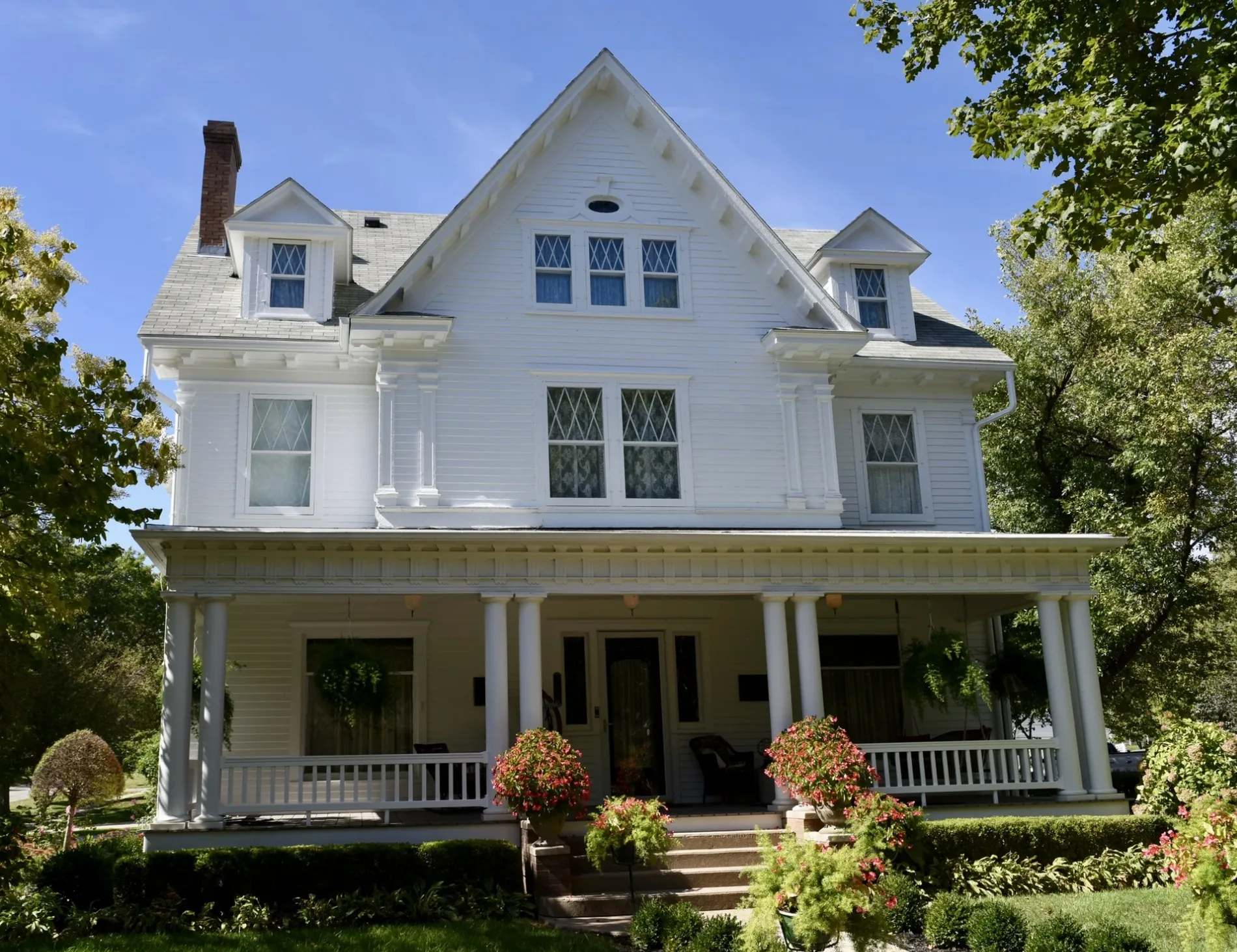
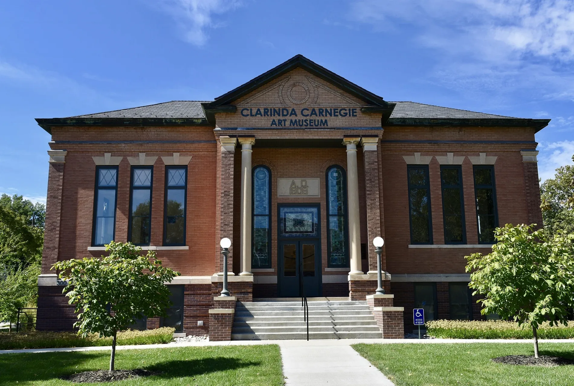
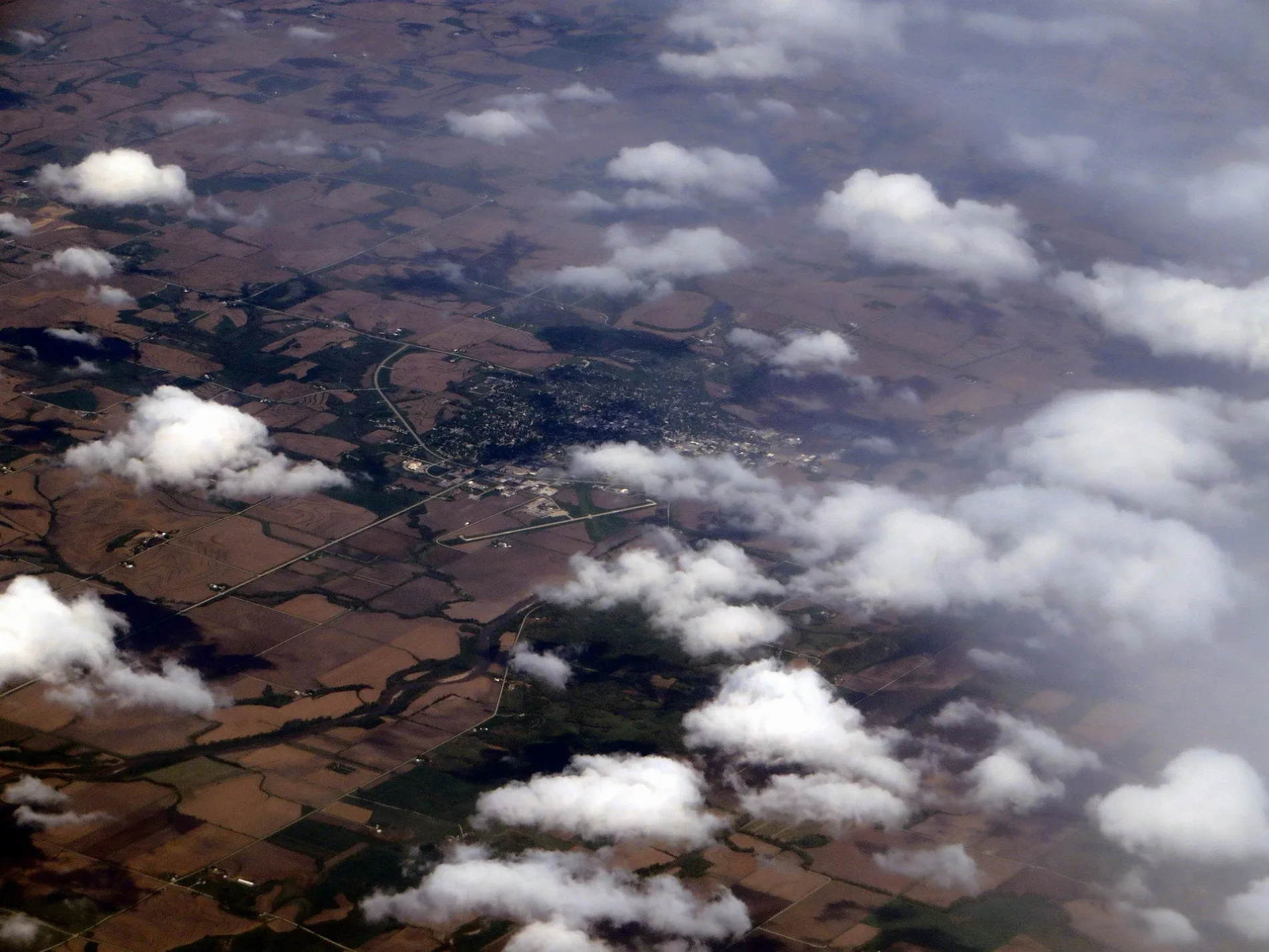
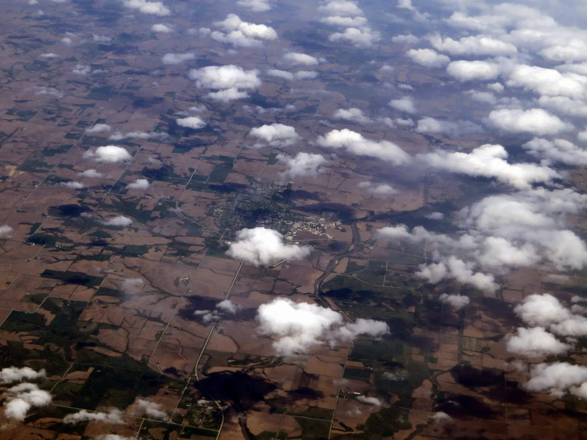
Streets in Clarinda, Iowa
Streets
East Main Street
Clarinda City Hall, U.S. Cellular, Bank Iowa, Cornerstone Bank, D & D Treasures, Sonrisers Popcorn, Hilton Wedding Boutique, Easter's True Value
North 16th StreetClarinda Nutrition, Uptown Styles Salon & Day Spa, Garrison House, Clarinda Flower Shop, Clarinda Academy, El Sarape Mexican Restaurant, MJ’s Comeback
East Washington StreetClarinda, Whispering Pines Boutique & Home Decor, Clarinda Family Dentistry, PCSB Bank, J’s Pizza & Steak House, Robin's Nest Cafe and Bakery, Eyecare Associates of Southwest Iowa
North 15th StreetJ. Bruner's Restaurant, Mindful Beauty Day Spa & Boutique
East Lincoln StreetPage County Sheriff's Office, Page County Jail
East Chestnut StreetMi Casita
North 12th StreetWalker-Merrick-Billings Funeral Chapel
East Stuart StreetClarinda Police Department
South 16th StreetNodaway Valley Historical Museum
West Washington StreetDiamond in the Rough
South Schenck RoadClarinda Coop
East Grant StreetShore Motor Company
East Glenn Miller DriveRunza
South 18th StreetWaubonsie Mental Health Center
Manor DriveAzria Health Clarinda
West Willow StreetClarhaven Foster Manor
North 14th StreetFirst Interstate Bank
West Main StreetS & S Appliance
West Tarkio Street
East Laperla Drive
East Nodaway Street
North 17th Street
South 17th Street
North 10th Street
South 19th Street
Washington Court
Logan Court
South 11th Street
East Scidmore Street
West Lincoln Street
Valley Heights
East Walnut Street
Towerwood Court
North 8th Street
Plum Street
South 15th Street
West Wells Street
Willow Street
South 20th Street
West Grant Street
Schenck Road
Country Club Drive
South 21st Street
West Orange Street
South 6th Street
Logan Drive
North 19th Street
S 27th Street
West Walnut StreetApartment buildings
Auto repair shops
Bowling alleys
Cafes
Commercial buildings
Fast food restaurants
Fire stations
Hotels
Libraries
Museums
Parks
Places of worship
School buildings
Sports centers
Supermarkets
Technical colleges
Veterinary clinics
Public transit map Clarinda Legend
| Railway | |
| Bus | |
| Streetcar |
Bicycle map Clarinda Legend
| Bike path | |
| Bike lane on roadway | |
| Cycling allowed on bus lane | |
| Bicycle street | |
| Open to cyclists | |
| Open to cyclists, good path | |
| Cycling prohibited | |
| Cobblestone |
| Long-distance bike route | (depending on scale) | |
| Long-distance bike route |
Pedestrian map Clarinda Legend
| Path |
| Long-distance hiking trail | (depending on scale) | |
| Long-distance hiking trail | ||
| Pedestrians prohibited |