
2nd Street in Shambaugh, Iowa
2nd Street in Shambaugh is a local road. It runs in an east-west direction and crosses Wall Street, West Street and Main Street. It ends in a cul-de-sac. 2nd Street also exists in Coin, Braddyville and Blanchard.
- Road Type
- local road
- Route
- east-west
Image
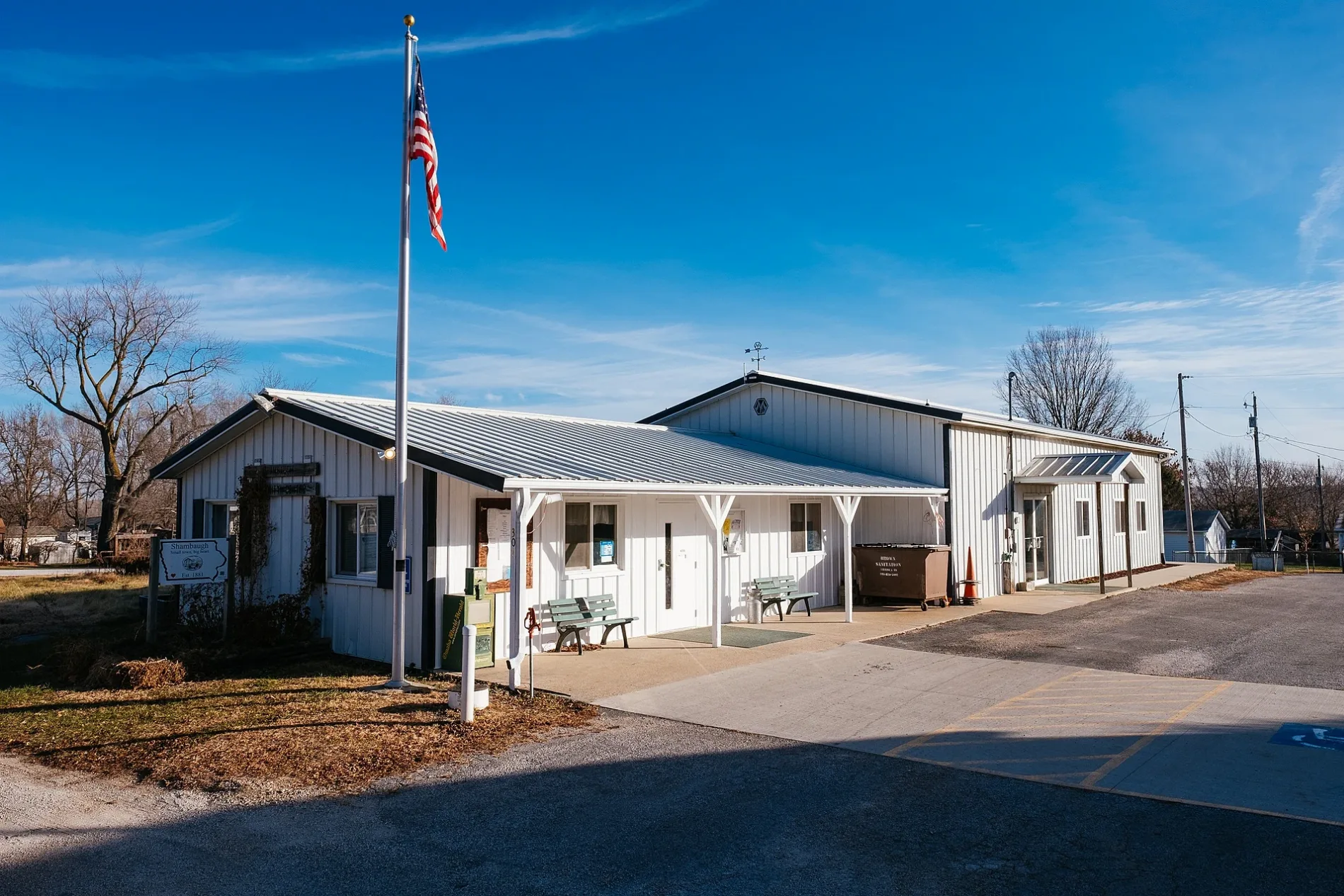
Places of worship
Streets nearby
Main Street350 ft
1st Street400 ft
3rd Street0.1 mi
Hersey StreetHarvest Fellowship Church
0.1 mi
4th StreetShambaugh Church of God
0.1 mi
Mill Street0.1 mi
Cinder Alley0.2 mi
Wall Street0.2 mi
West Street0.2 mi
5th Street0.3 mi
6th Street0.3 mi
North Boundary Street0.3 mi
7th Street0.4 mi
270th Street0.4 mi
Rose Avenue0.5 mi
T Avenue1.3 mi
Sumac Avenue1.5 mi
265th Street1.5 mi
Teak Avenue1.7 mi
R Avenue1.9 mi
Timber Avenue2.2 mi
Quincy Avenue2.3 mi
238th Street2.8 mi
S Avenue2.8 mi
238 Street2.8 mi
280th Street3.0 mi
294 Lane3.0 mi
295th Street3.1 mi
235th Street3.1 mi
Q Avenue3.3 mi
260th Street3.3 mi
234 Lane3.4 mi
Upland Avenue3.4 mi
290th Street3.5 mi
P AvenueImmanuel Lutheran Church
3.5 mi
230th Street3.6 mi
250th StreetCovenanter Church
3.7 mi
Vine Avenue3.8 mi
Auto repair shops nearby
Redline Customs0.3 mi
Cemeteries nearby
Butler Cemetery1.5 mi
Davis Cemetery2.0 mi
Covenanter Cemetery2.6 mi
Community centers nearby
Shambaugh Community Building200 ft
Industrial buildings nearby
Gate Shop0.1 mi
Places of worship nearby
Shambaugh United Methodist Church450 ft
Shambaugh Church of God0.1 mi
Harvest Fellowship0.2 mi
Post offices nearby
Shambaugh Post Office250 ft
Streams nearby
Business Creek0.6 mi
 Public transit map Shambaugh Legend
| Railway | |
| Bus | |
| Streetcar |
 Bicycle map Shambaugh Legend
| Bike path | |
| Bike lane on roadway | |
| Cycling allowed on bus lane | |
| Bicycle street | |
| Open to cyclists | |
| Open to cyclists, good path | |
| Cycling prohibited | |
| Cobblestone |
| Long-distance bike route | (depending on scale) | |
| Long-distance bike route |
 Pedestrian map Shambaugh Legend
| Path |
| Long-distance hiking trail | (depending on scale) | |
| Long-distance hiking trail | ||
| Pedestrians prohibited |