
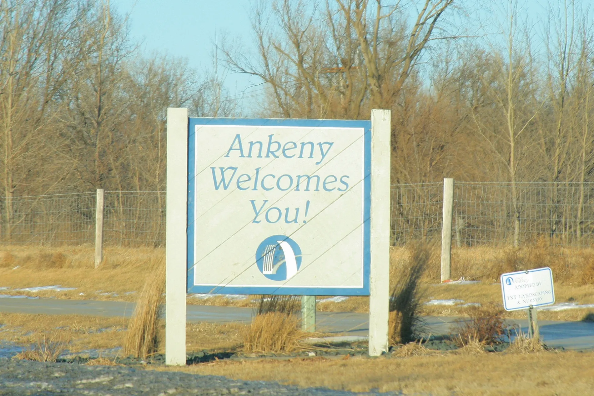
30th Lane in Ankeny, Iowa
30th Lane in Ankeny is a residential street (private). It runs in an east-west direction starting from Southwest Sharmin Lane and crosses White Birch Lane and ends at Southwest Arlan Lane.
- Road Type
- residential street
- Route
- east-west
Image
Hair salons
Dentist offices
- Ankeny Dental Professionals (opening hours: Mon–Thu : 7am-5pm; Fri iday: 7am-3pm) at SW White Birch Cir 1630 (50023). Ankeny Dental Professionals offers comprehensive dentistry, orthodontics, and oral surgery for all ages. We pride ourselves on our patient-centered practice that focuses on the needs of each patient. – approx. 0.1 mi.
Clinics
Pharmacies
Supplement stores
Colleges
Restaurants
Bike shops
Vape shops
Health food stores
Fast food restaurants
Cafes
Clothing stores
Liquor stores
Ice cream shops
Artworks
Streets nearby
White Birch Lane100 ft
Southwest Arlan Lane450 ft
Southwest Sharmin Lane450 ft
Southwest White Birch DriveThe Whiskey House and Bourbon Grill, Main Street Cafe & Bakery, The Outside Scoop, Silk Elephant, Fresh Fit Meals, IV Nutrition, Loft, Dough Co Pizza, Duck Worth Wearing, CIV Plus
0.1 mi
Southwest Chestnut Court0.1 mi
Southwest Braeburn Street0.1 mi
Southwest 32nd Lane0.2 mi
Southwest Butternut Court0.2 mi
Southwest Tradition DriveThunderhead Sports Bar & Grill
0.2 mi
Southwest Sunrise Lane0.2 mi
Northwest 74th Avenue0.2 mi
Southwest State StreetAnkeny Dental Professionals, Arkham Games
0.2 mi
Sugar Berry Drive0.2 mi
Southwest Westview Lane0.2 mi
Southwest Butternut Drive0.3 mi
Southwest Chestnut Drive0.3 mi
Southwest 38th Street0.3 mi
Southwest White Birch Circle0.3 mi
Sugar Berry Court0.3 mi
Southwest Bluegrass Circle0.3 mi
Southwest Reunion Drive0.3 mi
Reunion Circle0.3 mi
Northwest 2nd Court0.3 mi
Southwest 35th Street0.4 mi
Southwest Twin Gates Drive0.4 mi
Southwest Bluegrass Drive0.4 mi
Northwest Polk City Drive0.4 mi
Southwest Sawgrass Parkway0.4 mi
Southwest 36th Street0.4 mi
Southwest Polk City Court0.5 mi
Northwest 72nd Place0.5 mi
Southwest Applewood Street0.5 mi
Southwest Sage Circle0.5 mi
Southwest Beechwood Street0.5 mi
Southwest Westwood Street0.6 mi
Banks nearby
Community State Bank0.2 mi
Covered areas nearby
Kum & Go0.3 mi
Fast food restaurants nearby
Hardee's0.1 mi
Parks nearby
Twin Gates Greenbelt0.2 mi
Diamond Hills Greenway0.4 mi
Sawgrass Park0.5 mi
Residential areas nearby
White Birch Park500 ft
White Birch0.1 mi
The Village ta White Birch Park0.2 mi
Sawgrass Townhomes0.2 mi
White Birch Condominiums0.2 mi
Reunion0.2 mi
Sawgrass Links Townhomes0.2 mi
Streams nearby
Saylor Creek0.2 mi
 Public transit map Ankeny Legend
| Railway | |
| Bus | |
| Streetcar |
 Bicycle map Ankeny Legend
| Bike path | |
| Bike lane on roadway | |
| Cycling allowed on bus lane | |
| Bicycle street | |
| Open to cyclists | |
| Open to cyclists, good path | |
| Cycling prohibited | |
| Cobblestone |
| Long-distance bike route | (depending on scale) | |
| Long-distance bike route |
 Pedestrian map Ankeny Legend
| Path |
| Long-distance hiking trail | (depending on scale) | |
| Long-distance hiking trail | ||
| Pedestrians prohibited |