
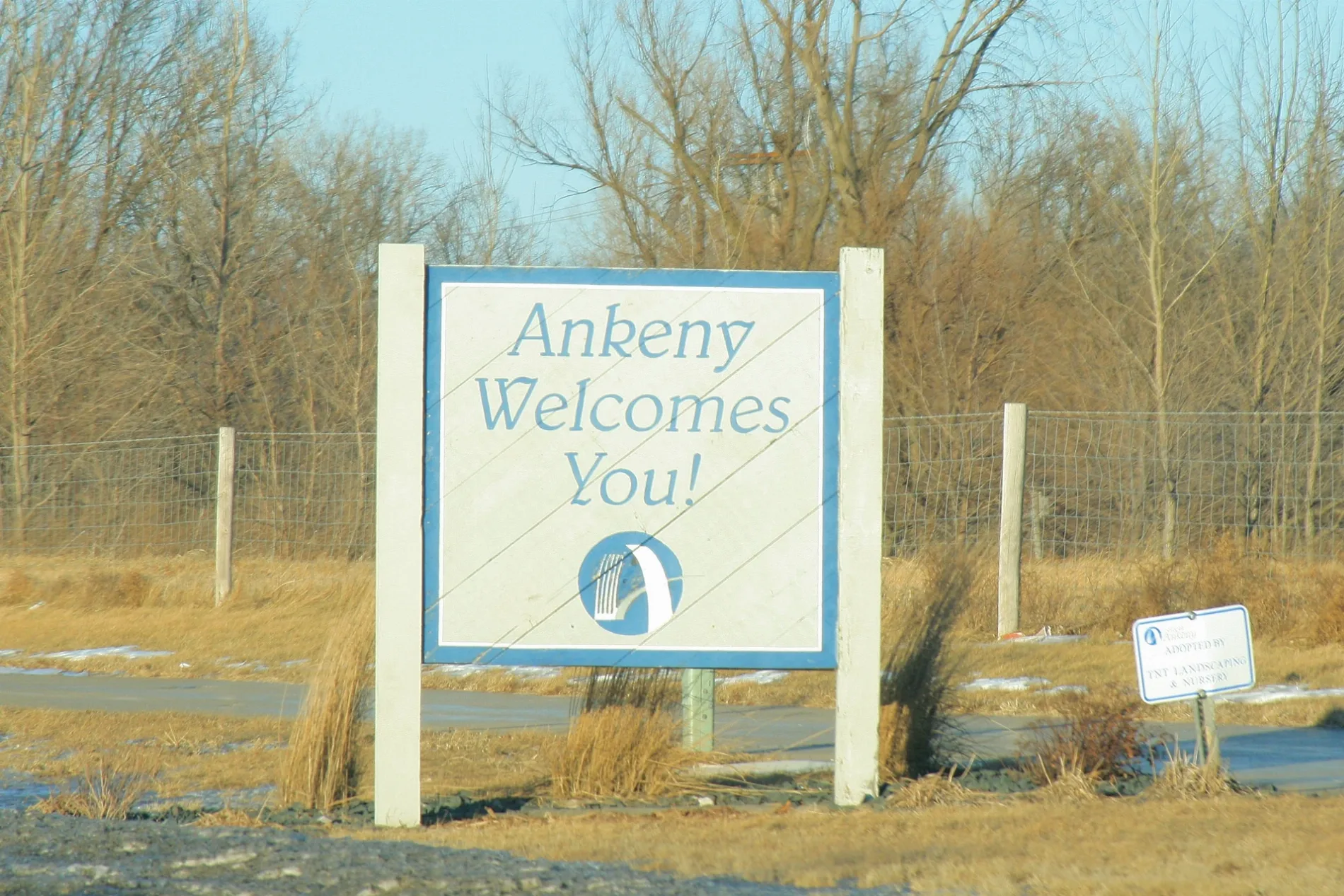
Linduska Lane in Ankeny, Iowa
Linduska Lane in Ankeny is a residential street. It runs in an east-west direction and crosses DMACC Boulevard. It ends in a cul-de-sac.
- Road Type
- residential street
- Route
- east-west
Image
Event venues
Clinics
Dentist offices
- Ankeny Dental Professionals (opening hours: Mon–Thu : 7am-5pm; Fri iday: 7am-3pm) at SW White Birch Cir 1630 (50023). Ankeny Dental Professionals offers comprehensive dentistry, orthodontics, and oral surgery for all ages. We pride ourselves on our patient-centered practice that focuses on the needs of each patient. – approx. 0.4 mi.
Liquor stores
Ice cream shops
Bars
Restaurants
Hair salons
Bike shops
Fast food restaurants
Cafes
Artworks
Colleges
Pharmacies
Clothing stores
Beauty salons
Streets nearby
Southwest Oralabor Road0.2 mi
Orlabor Gateway TrailChina Moon, The Funky Zebras, Ankeny Smiles, Kyle's Bikes, The Iowa Clinic Urgent Care, Jimmy John's
0.2 mi
Southwest Highpointe Drive0.2 mi
Southwest Westview Lane0.2 mi
Southwest Franklin Drive0.3 mi
Southwest 28th Street0.3 mi
Southwest 28th Lane0.3 mi
Southwest State StreetAnkeny Dental Professionals, Arkham Games
0.3 mi
DMACC Boulevard0.3 mi
College Drive0.3 mi
Southwest Tradition DriveThunderhead Sports Bar & Grill
0.4 mi
Southwest Prairie Trail Parkway0.4 mi
Southwest Merchant StreetWhiskey River, The District Venue
0.4 mi
Southwest Campustown Court0.5 mi
Southwest Vintage ParkwayJethro's BBQ Lakeside, District 36, Blond Genius Boutique, Jersey Mike's Subs
0.5 mi
Buildings nearby
Iowa Division of Criminal Investigation0.2 mi
Iowa Department of Agriculture0.2 mi
Iowa Office of the State Medical Examiner0.2 mi
Iowa Hygienic Laboratory0.2 mi
Building 40.3 mi
Campus View Apartments0.3 mi
Pratum Inc.0.4 mi
Uptown Lofts0.4 mi
Iowa Soybean Association0.4 mi
FFA Enrichment Center0.5 mi
Doctor's offices nearby
Ankeny Pediatric Clinic0.3 mi
Fast food restaurants nearby
McDonald's0.3 mi
Meadows nearby
Prairie Area0.1 mi
Parks nearby
Twin Gates Greenbelt0.2 mi
Promenade Park0.4 mi
Chautauqua Park0.5 mi
Residential areas nearby
Campus View Student Housing Condominiums0.3 mi
Streams nearby
Saylor Creek0.4 mi
Technical colleges nearby
Building 22450 ft
Commons500 ft
Building 26 Criminal Justice Training Facility550 ft
Building UC10.2 mi
Building 210.2 mi
Building 50.2 mi
Building 3W0.2 mi
Building 240.3 mi
Building 3E0.3 mi
Building 20.3 mi
Building 80.3 mi
Building 90.3 mi
Building 10.4 mi
Building 60.4 mi
Building 130.4 mi
Other nearby
DMACC Energy Park0.3 mi
 Public transit map Ankeny Legend
| Railway | |
| Bus | |
| Streetcar |
 Bicycle map Ankeny Legend
| Bike path | |
| Bike lane on roadway | |
| Cycling allowed on bus lane | |
| Bicycle street | |
| Open to cyclists | |
| Open to cyclists, good path | |
| Cycling prohibited | |
| Cobblestone |
| Long-distance bike route | (depending on scale) | |
| Long-distance bike route |
 Pedestrian map Ankeny Legend
| Path |
| Long-distance hiking trail | (depending on scale) | |
| Long-distance hiking trail | ||
| Pedestrians prohibited |