
Northwest Elm Lane in Ankeny, Iowa
Northwest Elm Lane in Ankeny is a residential street (private) and runs in a north-south direction starting from Northwest 20th Lane and ends at Northwest 18th Street.
- Road Type
- residential street
- Route
- north-south
Image
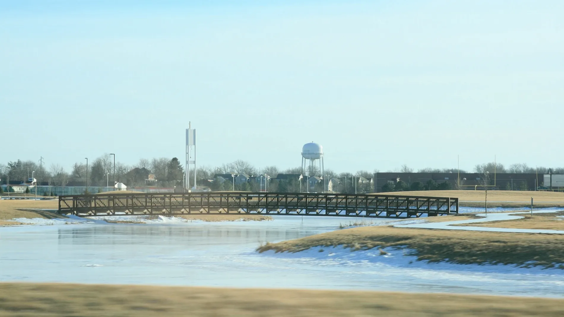
Beauty salons
Cell phone stores
Opticians
Tattoo studios
Clinics
Fast food restaurants
Game stores
Restaurants
Hair salons
Pubs
Streets nearby
Northwest Scott Lane300 ft
Northwest 20th Lane400 ft
Northwest 21st Court550 ft
Northwest 18th StreetNew Creations Child Care & Learning Center | Ankeny
0.1 mi
Northwest Ash Drive0.1 mi
Northwest 22nd Street0.1 mi
Northwest 20th Street0.2 mi
Northwest Ashland Parkway0.2 mi
Northwest 19th Street0.2 mi
Northwest Maple Place0.2 mi
Northwest Park Meadows Drive0.3 mi
Northwest Wagner Ridge Court0.3 mi
Northwest Cherry Street0.3 mi
Northwest Park Side Drive0.3 mi
Northwest Cameo Lane0.3 mi
Northwest Ashland Court0.3 mi
Northwest 17th Street0.3 mi
Northwest Parkridge Drive0.3 mi
Northwest Wagner Boulevard0.3 mi
Northwest School StreetLangwith Hull & Roush Orthodontists
0.3 mi
Northwest Ashton Lane0.3 mi
Northwest Parkridge Place0.4 mi
Northwest 25th Street0.4 mi
Northwest Campus Drive0.4 mi
Northwest Logan Street0.4 mi
Northwest Bayberry Lane0.4 mi
Northwest Chapel Lane0.4 mi
Northwest Maple Street0.4 mi
Northwest Summit Court0.4 mi
Northwest 22nd Lane0.4 mi
Northwest Wagner Court0.5 mi
Northwest Prairie Lakes Drive0.5 mi
Northwest State Street0.5 mi
Northwest Chapel Drive0.5 mi
Northwest 26th Street0.5 mi
Northwest Shoreline Court0.6 mi
Northwest Prairie Lakes Court0.6 mi
Northwest Bayview Court0.7 mi
Apartment buildings nearby
Brick Towne at Signature Village0.4 mi
Dentist's offices nearby
Ankeny Dental Associates0.4 mi
Ankeny Orthodontics0.4 mi
Gas stations nearby
Casey's General Store0.3 mi
Nature reserves nearby
Prairie Lakes0.6 mi
Parks nearby
Horizon Park0.6 mi
Residential areas nearby
Stonecrest Meadows Townhomes550 ft
Fountain Pointe Condominiums0.1 mi
Ashland Pointe Townhomes0.3 mi
School buildings nearby
Ashland Ridge Elementary0.4 mi
Other nearby
Prairie Ridge Skate Park0.6 mi
 Public transit map Ankeny Legend
| Railway | |
| Bus | |
| Streetcar |
 Bicycle map Ankeny Legend
| Bike path | |
| Bike lane on roadway | |
| Cycling allowed on bus lane | |
| Bicycle street | |
| Open to cyclists | |
| Open to cyclists, good path | |
| Cycling prohibited | |
| Cobblestone |
| Long-distance bike route | (depending on scale) | |
| Long-distance bike route |
 Pedestrian map Ankeny Legend
| Path |
| Long-distance hiking trail | (depending on scale) | |
| Long-distance hiking trail | ||
| Pedestrians prohibited |