
Southeast PDI Place in Ankeny, Iowa
Southeast PDI Place in Ankeny is a concrete residential street and it runs in a north-south direction starting from Southeast Oralabor Road and ends in a cul-de-sac. Nearby there is a cafe. The nearest bus stop is DART (about 50 m away).
- Road Type
- residential street
- Route
- north-south
Image
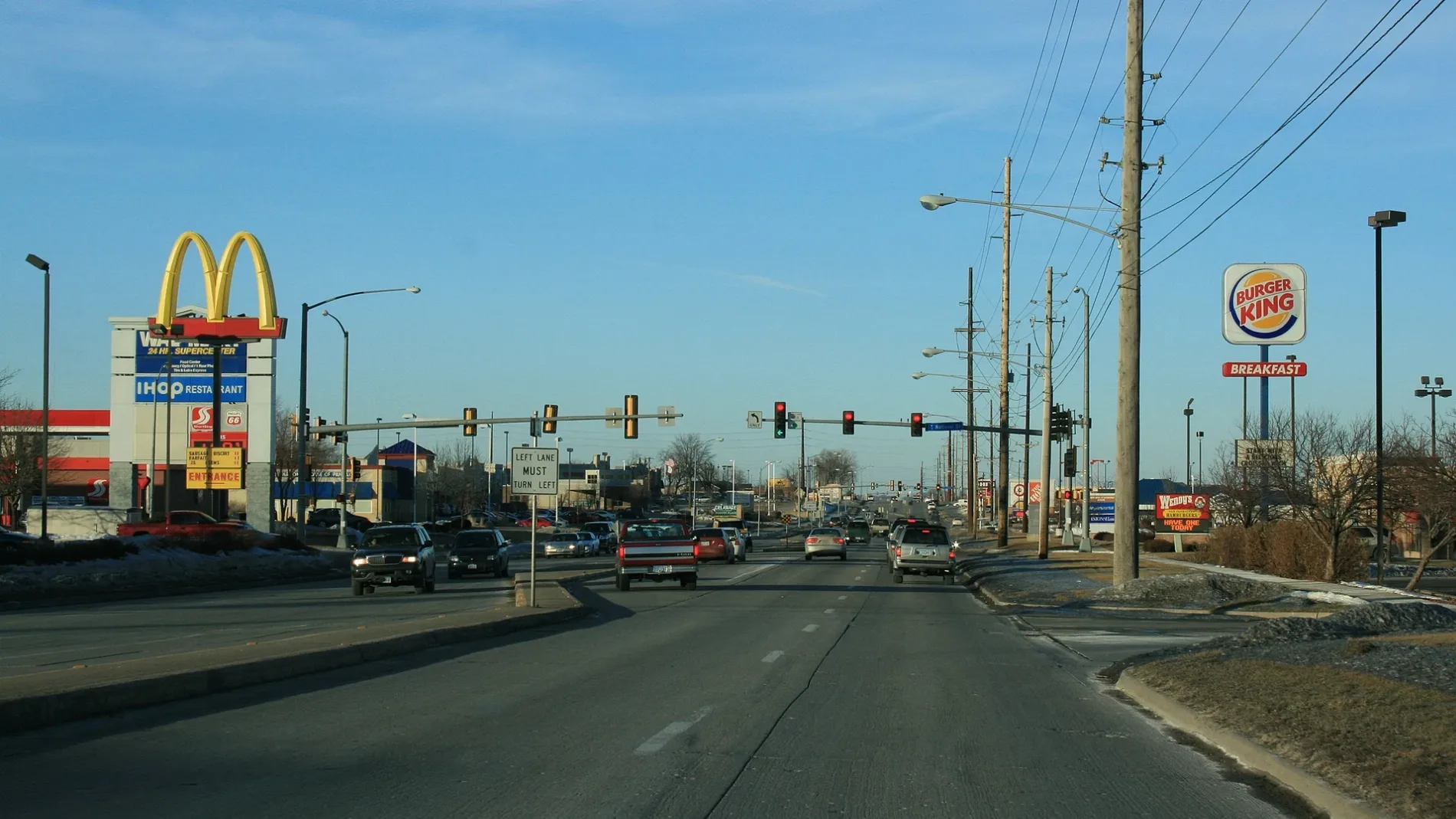
Cafes
Streets nearby
Southeast Oralabor RoadDART, Hair West, Crumbl Cookies, Wingstop, Batteries Plus Bulbs
450 ft
Southeast Michael DriveMojito's
0.2 mi
Southeast Rio Drive0.2 mi
Southeast National Drive0.2 mi
Northeast 76th PlaceOralabor
0.2 mi
Southeast Hulsize RoadPon Nail Spa
0.2 mi
Southeast Delaware AvenuePanera Bread, Family Christian Bookstores, The UPS Store, Coke Machine, Great Clips, Northern Lights, Game Kastle, Men's Wearhouse, Starbucks, Smiles on Delaware, Twisted Bean Coffee Company, Five Guys, Verizon, Old Chicago, Aspen Dental, Vision 4 Less
0.3 mi
Gay Lea Wilson Trail0.3 mi
Northeast 19th Lane0.3 mi
Northeast 19th Street0.4 mi
Auto repair shops nearby
LOF-Xpress500 ft
Karl's Oil Change Quick Lube0.3 mi
Brakes Plus0.3 mi
Buildings nearby
BioLife Plasma Services0.1 mi
Crossroads Center0.2 mi
Perishable Distributors of Iowa0.2 mi
Northstar Power Company0.3 mi
Dohrn Transfer Company0.3 mi
Field Paper0.3 mi
Car dealerships nearby
Karl Chevrolet0.3 mi
Karl's Chevrolet Used Cars0.3 mi
Dewey Ford0.4 mi
Dewey Dodge Jeep0.4 mi
Car washes nearby
Oasis0.3 mi
Karl's Car Wash0.3 mi
Fast food restaurants nearby
McDonald's0.2 mi
Taco Bell0.2 mi
Burger King0.2 mi
Chick-fil-A0.3 mi
Wendy's0.3 mi
Tasty Tacos0.3 mi
Fire stations nearby
Ankeny Fire Station #20.2 mi
Gas stations nearby
Casey's General Store0.1 mi
Hardware stores nearby
Menards0.3 mi
Hotels nearby
Staybridge Suites0.2 mi
Holiday Inn Express0.2 mi
Industrial areas nearby
Hicklin Industrial Park0.3 mi
Outdoor stores nearby
Sportsman's Warehouse400 ft
Pharmacies nearby
Walgreens0.1 mi
Places of worship nearby
Mount Zion Baptist Church0.3 mi
Residential areas nearby
Highland Acres0.3 mi
Restaurants nearby
Perkins0.2 mi
Chili's0.2 mi
IHOP0.3 mi
Retail areas nearby
Hulsizer Commercial0.2 mi
Weigel Plaza0.2 mi
Stationery stores nearby
Staples0.4 mi
Tire dealers nearby
Discount Tire400 ft
Big O Tires0.2 mi
Public transit map Ankeny Legend
| Railway | |
| Bus | |
| Streetcar |
Bicycle map Ankeny Legend
| Bike path | |
| Bike lane on roadway | |
| Cycling allowed on bus lane | |
| Bicycle street | |
| Open to cyclists | |
| Open to cyclists, good path | |
| Cycling prohibited | |
| Cobblestone |
| Long-distance bike route | (depending on scale) | |
| Long-distance bike route |
Pedestrian map Ankeny Legend
| Path |
| Long-distance hiking trail | (depending on scale) | |
| Long-distance hiking trail | ||
| Pedestrians prohibited |