
Service Road in Johnston, Iowa
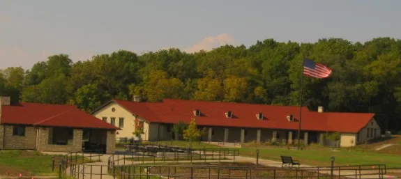
Service Road in Johnston is an unclassified road (private). It runs in a southeast-northwest direction starting from 11th Street and crosses 9th Street East and 8th Street East and ends at Service Avenue.
- Road Type
- unclassified road
- Route
- southeast-northwest
Image
Public bookcases
Schools
Police stations
Town halls
Frame shops
Artworks
Tourist information centers
Places of worship
Pubs
Dentist offices
Streets nearby
11th Street250 ft
8th Street East300 ft
10th Street East0.1 mi
Burma Avenue0.1 mi
9th Street East0.2 mi
7th Street East0.2 mi
Des Moines Avenue0.2 mi
11th Street East0.2 mi
Main Avenue0.2 mi
6th Street East0.2 mi
Pavilion Road0.3 mi
Regimental Avenue0.3 mi
Harbor Oaks Drive0.3 mi
Theresa Drive0.3 mi
James Francis Place0.3 mi
Easton Avenue0.3 mi
Commander Drive0.4 mi
Northwest Beaver DriveMinor Wreck Express
0.4 mi
Des Moines Tactical Avenue0.4 mi
Service Avenue0.4 mi
Northwest 63rd Court0.4 mi
5th Street East0.4 mi
Enclave Lane0.4 mi
Railroad Avenue0.4 mi
Pinnacle Place0.4 mi
Enclave Circle0.4 mi
Hill RoadLaw Enforcement Academy
0.4 mi
Northwest 83rd Avenue0.5 mi
Woodfield Road0.6 mi
Buildings nearby
Iowa Law Enforcement Academy450 ft
DEERS, ID Card, and Tricare Office0.2 mi
B-620.2 mi
B-610.2 mi
PT-060.3 mi
PT-010.3 mi
Chapels nearby
A-630.4 mi
Community centers nearby
Dodge House0.3 mi
Convenience stores nearby
Camp Dodge Army and Air Force Exchange Service Post Exchange0.2 mi
Hotels nearby
Camp Dodge Billeting0.2 mi
Industrial buildings nearby
W-460.2 mi
Museums nearby
Iowa Gold Star Museum0.2 mi
Residential areas nearby
Beaver Estates0.3 mi
Catterson Estates0.4 mi
Greif Acres0.4 mi
The Enclave0.4 mi
Woodfield0.5 mi
Shelters nearby
Camp Dodge Pool Pavilion0.3 mi
Warehouses nearby
CIF/Supply0.2 mi
Other nearby
Pad C500 ft
Public transit map Johnston Legend
| Railway | |
| Bus | |
| Streetcar |
Bicycle map Johnston Legend
| Bike path | |
| Bike lane on roadway | |
| Cycling allowed on bus lane | |
| Bicycle street | |
| Open to cyclists | |
| Open to cyclists, good path | |
| Cycling prohibited | |
| Cobblestone |
| Long-distance bike route | (depending on scale) | |
| Long-distance bike route |
Pedestrian map Johnston Legend
| Path |
| Long-distance hiking trail | (depending on scale) | |
| Long-distance hiking trail | ||
| Pedestrians prohibited |