
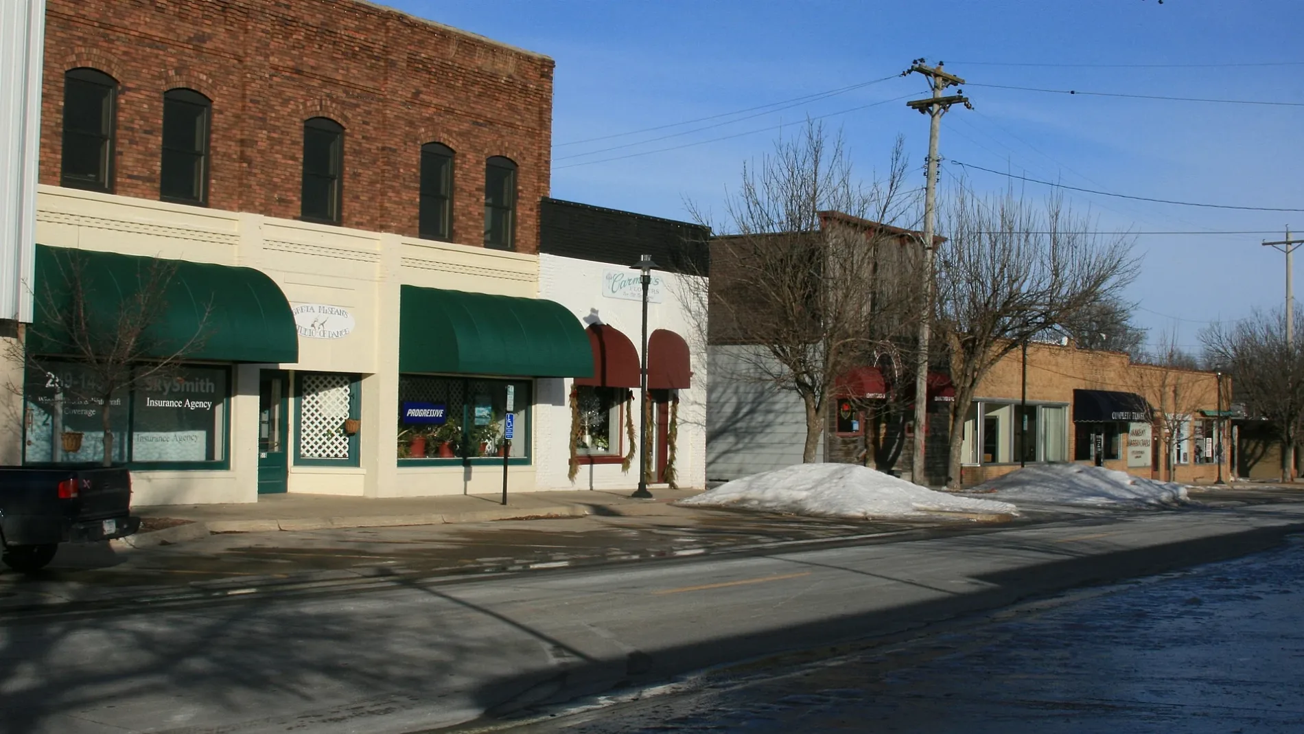
Southwest 6th Street in Ankeny, Iowa
Southwest 6th Street in Ankeny is a residential street and it runs in an east-west direction starting from Southwest Cherry Street and ends at Southwest Walnut Street.
- Road Type
- residential street
- Route
- east-west
Image
Bars
Art galleries
Hair salons
Gas stations
Electronics stores
Beauty salons
Laundries
Restaurants
Bike shops
Music stores
Department stores
Dentist offices
Fast food restaurants
Clothing stores
Pharmacies
Recycling stations
Pubs
Bus stops
Cafes
Tobacco shops
Streets nearby
Southwest Walnut StreetUptown Garage Brewing Co.
200 ft
Southwest 5th Street0.1 mi
Southwest Ordnance RoadAnkeny Area Redemption Center, Joy, Shade Tree Auto
0.1 mi
Southwest Ash Drive0.1 mi
Southwest Railroad Avenue0.2 mi
Southwest Southlawn Drive0.2 mi
Southwest 4th Street0.2 mi
Southwest Maple Street0.3 mi
Southwest 3rd StreetWalnut Street Gallery, Ranallo's on 3rd, RynoVelo Bike Shop, Casey's General Store
0.3 mi
High Trestle Trail0.3 mi
Southwest Fehn Drive0.4 mi
Southwest Kenworthy Drive0.4 mi
Southwest Lynn Drive0.4 mi
Southwest Cherry Street0.4 mi
Southwest Des Moines Street0.4 mi
Southwest Elm Street0.4 mi
Southwest Goodwin Drive0.4 mi
Southwest 11th Street0.4 mi
Southwest Goodwin Street0.5 mi
Southwest Oak Lane0.5 mi
Southwest 12th Street0.5 mi
Bars nearby
Trailside Tap0.3 mi
Buildings nearby
72° Heating and Cooling, Inc.0.2 mi
Ankeny Market Village0.2 mi
Stubbers Cameron Glass0.2 mi
Hensley Concrete Coatings0.2 mi
Stone by Design0.3 mi
Hykes Gallery0.3 mi
Quilter's Cupboard0.3 mi
Ankeny Towing0.5 mi
Car dealerships nearby
JR Motorsports Ltd.0.2 mi
Ankeny Transmission0.2 mi
Sanders Auto Lab0.3 mi
Community centers nearby
American Legion Post #420.2 mi
Dentist's offices nearby
Ankeny Dental Center0.2 mi
Places of worship nearby
Ankeny Seventh Day Adventist Church0.1 mi
Ankeny Apostolic Assembly0.2 mi
Holy Trinity Lutheran Church0.3 mi
Police stations nearby
Ankeny Police Department0.3 mi
Pubs nearby
Doghouse Bar and Lounge0.4 mi
Residential areas nearby
Ankeny Village0.2 mi
Lint Heights0.2 mi
Ankeny Uptown Lofts0.3 mi
Fehn Kenworthy Place0.3 mi
Heritage at Prairie Trail0.4 mi
Restaurants nearby
Yankee Clipper0.3 mi
Uptown0.3 mi
School buildings nearby
Neveln Resource Center0.2 mi
Streams nearby
Saylor Creek0.5 mi
Public transit map Ankeny Legend
| Railway | |
| Bus | |
| Streetcar |
Bicycle map Ankeny Legend
| Bike path | |
| Bike lane on roadway | |
| Cycling allowed on bus lane | |
| Bicycle street | |
| Open to cyclists | |
| Open to cyclists, good path | |
| Cycling prohibited | |
| Cobblestone |
| Long-distance bike route | (depending on scale) | |
| Long-distance bike route |
Pedestrian map Ankeny Legend
| Path |
| Long-distance hiking trail | (depending on scale) | |
| Long-distance hiking trail | ||
| Pedestrians prohibited |