
70th Place in Urbandale, Iowa
70th Place in Urbandale is a residential street and it runs in a north-south direction and ends at Holcomb Avenue, while the other end is a cul-de-sac.
- Road Type
- residential street
- Route
- north-south
Image
Fast food restaurants
Pubs
Candy stores
Clothing stores
Restaurants
Bars
Post offices
Bus stops
Hair salons
Pharmacies
Doctor's offices
Streets nearby
Rocklyn Circle0.1 mi
Monterey Drive0.1 mi
Rocklyn Drive0.1 mi
Garrison Road0.2 mi
Sheridan Circle0.2 mi
70th Street70th Street Salon
0.2 mi
Shasta Place0.2 mi
Sheridan Avenue0.2 mi
Hopkins Road0.2 mi
Holcomb Avenue0.2 mi
71st StreetUSPS Training Center
0.2 mi
73rd Street0.2 mi
New York Avenue0.3 mi
72nd Street0.3 mi
69th Street0.3 mi
68th Street0.3 mi
Hickman RoadPhoenix Cafe, Cottman Transmission, The Flying Moose, Clive Police Department, Clive Fire Department, Down Under Bar & Grill, Euro Bar & Grill
0.3 mi
Benton Court0.3 mi
Wilshire BoulevardThe Ridgemont
0.3 mi
Auto repair shops nearby
Premier Automotive Service Center0.2 mi
Bars nearby
Kathy's0.3 mi
Buildings nearby
Building 4500 ft
Building 10.1 mi
Building 30.1 mi
Building 20.1 mi
Hickman Plaza0.2 mi
Commercial areas nearby
Rocklyn Office Park0.1 mi
Convenience stores nearby
Hy-Vee Fast & Fresh0.2 mi
Dentist's offices nearby
Langwith Hull & Roush Orthodontists0.2 mi
Garage areas nearby
StorageMart0.3 mi
Office buildings nearby
Successful Resource Management450 ft
Berger Law Firm0.1 mi
Erickson Dental Group0.1 mi
Regency Plaza0.3 mi
Parks nearby
Rocklyn Park0.3 mi
Places of worship nearby
Covenant Christian Church0.2 mi
Residential areas nearby
Rocklyn Court Apartments0.1 mi
The Rocklyn Court0.2 mi
Kingswood Estates0.2 mi
Plantation Manor Apartments0.3 mi
Westpointe Apartments and Townhomes0.3 mi
Oak Creek0.3 mi
Rocklyn Ridge Apartments0.3 mi
Oak Shadow0.3 mi
Restaurants nearby
Wasabi Urbandale0.2 mi
Retail areas nearby
Sherwood Forest0.3 mi
Sports centers nearby
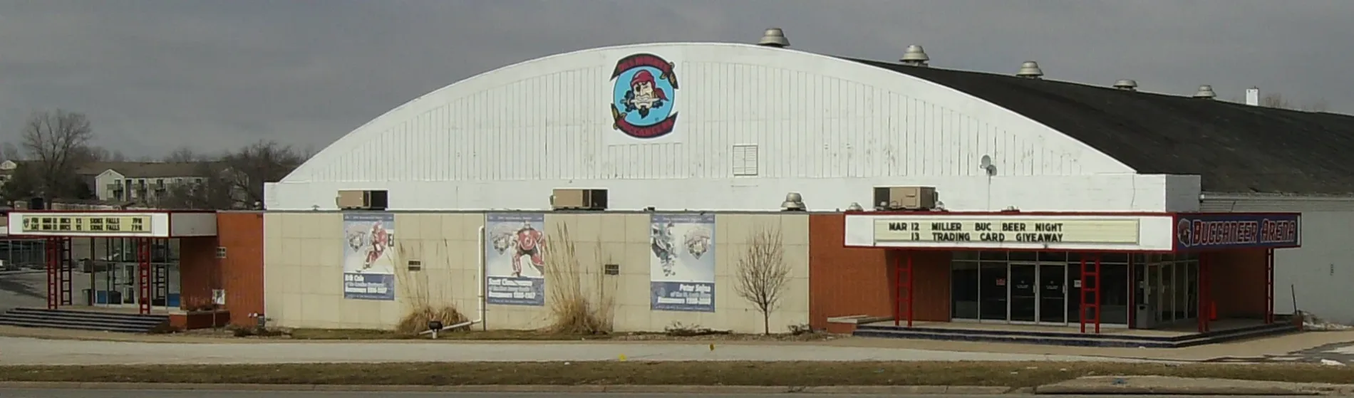
Buccaneer Arena0.2 mi
Streams nearby
Rocklyn Creek0.3 mi
Tailor shops nearby
Hickman Tailors0.3 mi
Public transit map Urbandale Legend
| Railway | |
| Bus | |
| Streetcar |
Bicycle map Urbandale Legend
| Bike path | |
| Bike lane on roadway | |
| Cycling allowed on bus lane | |
| Bicycle street | |
| Open to cyclists | |
| Open to cyclists, good path | |
| Cycling prohibited | |
| Cobblestone |
| Long-distance bike route | (depending on scale) | |
| Long-distance bike route |
Pedestrian map Urbandale Legend
| Path |
| Long-distance hiking trail | (depending on scale) | |
| Long-distance hiking trail | ||
| Pedestrians prohibited |