
El Rancho Avenue in Windsor Heights, Iowa
El Rancho Avenue in Windsor Heights is a residential street and it runs in an east-west direction starting from 73rd Street and ends at 70th Street.
- Road Type
- residential street
- Route
- east-west
Image
Auto repair shops
Bakeries
Cafes
Town halls
Police stations
Pharmacies
Ice cream shops
Clinics
Hair salons
Tattoo studios
Fast food restaurants
Bars
Massage therapy clinics
Liquor stores
Gas stations
Restaurants
Clothing stores
Fire stations
Streets nearby
Sunrise Boulevard350 ft
Franklin Avenue350 ft
Wilshire BoulevardThe Ridgemont
0.1 mi
Jefferson Avenue0.1 mi
73rd StreetStarbucks, Tivoli Salon
0.2 mi
74th Street0.2 mi
75th Street0.2 mi
Shasta Place0.2 mi
76th Street0.2 mi
Bellaire Avenue0.2 mi
77th Street0.3 mi
Garrison Road0.3 mi
Plaza Circle0.3 mi
Monterey Drive0.3 mi
72nd Street0.3 mi
Hickman RoadPhoenix Cafe, Cottman Transmission, The Flying Moose, Clive Police Department, Clive Fire Department, Down Under Bar & Grill, Euro Bar & Grill
0.3 mi
78th Street0.3 mi
Colby Woods Trail0.3 mi
70th Street70th Street Salon
0.3 mi
69th Street0.3 mi
Holcomb Avenue0.4 mi
Canterbury Road0.4 mi
71st StreetUSPS Training Center
0.4 mi
Washington Avenue0.4 mi
70th Place0.4 mi
Timmons Drive0.4 mi
Camden Lane0.4 mi
Reite Avenue0.5 mi
Auto repair shops nearby
AAMCO Transmissions0.3 mi
Buildings nearby
Building 10.4 mi
Building 40.4 mi
Building 20.4 mi
Building 30.4 mi
Commercial areas nearby
Rocklyn Office Park0.3 mi
Convenience stores nearby
Hy-Vee Fast & Fresh0.2 mi
Dentist's offices nearby
Langwith Hull & Roush Orthodontists0.2 mi
Hotels nearby
Motel Relax0.4 mi
Office buildings nearby
Erickson Dental Group0.3 mi
Berger Law Firm0.3 mi
Successful Resource Management0.3 mi
Regency Plaza0.4 mi
Residential areas nearby
Plaza Hills0.3 mi
Louise Heights0.4 mi
Westpointe Apartments and Townhomes0.4 mi
Restaurants nearby
Irina's Restaurant & Bar0.4 mi
Retail buildings nearby
Sherwood Forest0.2 mi
Sports centers nearby
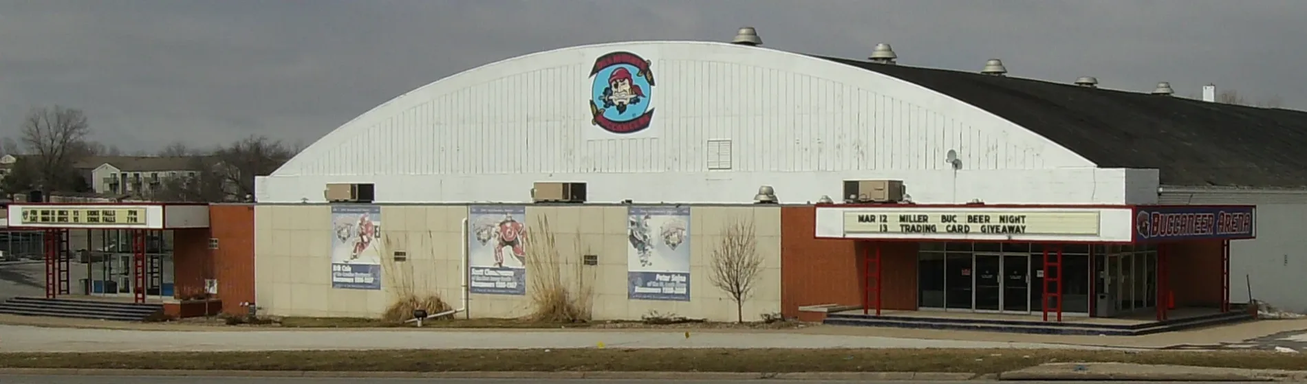
Buccaneer Arena0.2 mi
Streams nearby
North Walnut Creek0.3 mi
Rocklyn Creek0.4 mi
Public transit map Windsor Heights Legend
| Railway | |
| Bus | |
| Streetcar |
Bicycle map Windsor Heights Legend
| Bike path | |
| Bike lane on roadway | |
| Cycling allowed on bus lane | |
| Bicycle street | |
| Open to cyclists | |
| Open to cyclists, good path | |
| Cycling prohibited | |
| Cobblestone |
| Long-distance bike route | (depending on scale) | |
| Long-distance bike route |
Pedestrian map Windsor Heights Legend
| Path |
| Long-distance hiking trail | (depending on scale) | |
| Long-distance hiking trail | ||
| Pedestrians prohibited |