
Missouri River in Rockford Township, Iowa
Missouri River in Pottawattamie County is a river. Missouri River is also known as Missouri. Ⓦ.
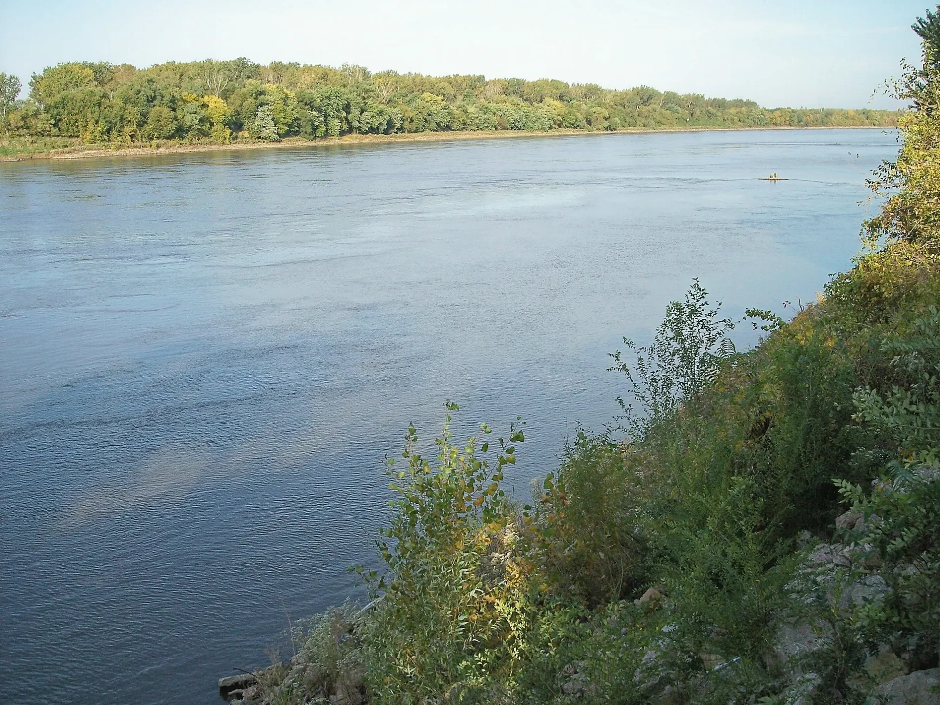
- Waterway Type
- river
Streets nearby
River Tree Road0.6 mi
Sands Lane0.7 mi
Moon River Lane0.8 mi
Rock Port Lane0.9 mi
County Road 321.1 mi
Scenic View Lane1.2 mi
Leisure Lane1.2 mi
Nature Lane1.2 mi
County Road 341.2 mi
Lemley Lane1.3 mi
Wilson Road1.5 mi
County Road 471.6 mi
Riparian Lane1.7 mi
122nd Street1.7 mi
County Road 491.8 mi
Island Road1.9 mi
Horseshoe Lake Lane1.9 mi
Meadowlark Nature Trail1.9 mi
Trails Entry RoadLewis and Clark Sculpture
1.9 mi
110th Street2.0 mi
North Island Nature Trail/South Island Nature Trail2.0 mi
Wilson Lane2.0 mi
Oriole Nature Trail2.0 mi
South Island Nature Trail2.1 mi
Campground Lane2.1 mi
Fort Atkinson State Historical Park Recreation RoadFort Atkinson
2.2 mi
Mushroom Road2.3 mi
Adams Street2.3 mi
North 8th Street2.3 mi
South 7th Street2.3 mi
North Island Nature Trail2.3 mi
North 9th Street2.3 mi
7th Street2.3 mi
Jefferson Street2.3 mi
South 8th Street2.4 mi
East Calhoun Drive2.4 mi
130th Street2.4 mi
South 9th Street2.4 mi
Desoto AvenueSelf Serve Fee Station, Desoto Mini-Mart
2.5 mi
Westgate Road2.5 mi
County Highway L162.6 mi
County Road P512.7 mi
Buildings nearby
Park Office2.2 mi
Rivers nearby
Boyer Chute2.1 mi
Shelters nearby
Shelter 12.0 mi
Shelter 22.0 mi
Waters nearby
Nobles Lake2.3 mi
Stratbucker Reservoir2.6 mi
Other nearby
Fort Calhoun Community Solar1.5 mi
| Named after | Missouria |
|---|---|
| Length | 3726 |
| Located in | Montana, North Dakota, South Dakota, Nebraska, Iowa, Missouri, Kansas |
| Country | United States |
| Mouth | Mississippi River |
| Tributary | Little Missouri River, Grand River, Moreau River, Cheyenne River, Bad River, White River, Niobrara River, James River, Vermillion River, Big Sioux River, Platte River, Kansas River, Milk River, Yellowstone River, Osage River, Mosquito Creek, Boyer River, Ponca Creek, Perry Creek, Floyd River, Little Sioux River, Soldier River, Jefferson River, Marias River, Dearborn River, Madison River, Cannonball River, Gallatin River, Roe River, Heart River, Musselshell River, Knife River, Big Muddy Creek, Judith River, Sun River, Chariton River, Arrow Creek, Belt Creek, Blue River, Cow Creek, Crooked River, Cuivre River, Fishing River, Gasconade River, Lamine River, Little Blue River, Little Muddy Creek, Loutre River, Nodaway River, Papillion Creek, Poplar River, Redwater River, Sixteen Mile Creek, Smith River, Tarkio River, Wolf River, Nishnabotna River, Big Dry Creek (Montana), Auxvasse Creek, Big Berger Creek, Perche Creek, Blacksnake Creek, Big Nemaha River, Little Nemaha River, Sacagawea River, Little Chariton River, Sni-A-Bar Creek |
| Native name | Missouri River |
| Described by | Brockhaus and Efron Encyclopedic Dictionary, Small Brockhaus and Efron Encyclopedic Dictionary, Great Soviet Encyclopedia (1926–1947), Encyclopædia Britannica 11th edition, The American Cyclopædia, Collier's New Encyclopedia, 1921, New International Encyclopedia, The New Student's Reference Work, Granat Encyclopedic Dictionary |
Public transit map Rockford Township Legend
| Railway | |
| Bus | |
| Streetcar |
Bicycle map Rockford Township Legend
| Bike path | |
| Bike lane on roadway | |
| Cycling allowed on bus lane | |
| Bicycle street | |
| Open to cyclists | |
| Open to cyclists, good path | |
| Cycling prohibited | |
| Cobblestone |
| Long-distance bike route | (depending on scale) | |
| Long-distance bike route |
Pedestrian map Rockford Township Legend
| Path |
| Long-distance hiking trail | (depending on scale) | |
| Long-distance hiking trail | ||
| Pedestrians prohibited |