
Mclellan Heights in Davenport, Iowa
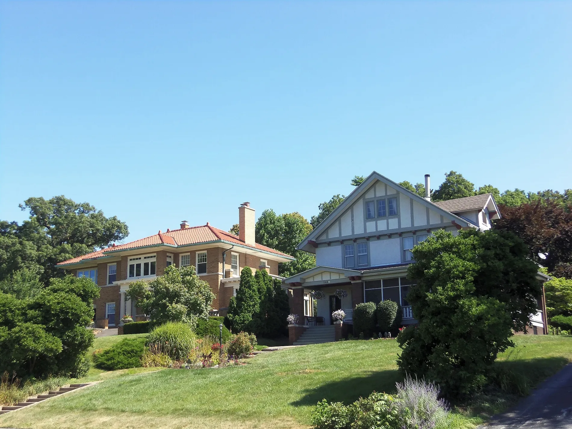
Mclellan Heights in Davenport is a residential area. Ⓦ.
- Land Use
- residential area
Image
Gas stations
Bars
Clothing stores
Cafes
Pharmacies
Variety stores
Places of worship
Gift shops
Stations
Convenience stores
Shelters
Music stores
Hair salons
Restaurants
Florists
Art galleries
Ice cream shops
Fast food restaurants
Dentist offices
Streets nearby
McClellan Boulevard500 ft
Roberts Avenue500 ft
Bechtel Road0.1 mi
Wood Lane0.2 mi
Essex Lane0.2 mi
Forest Road0.2 mi
Nichols Lane0.2 mi
Hillcrest Avenue0.2 mi
Ridgewood Avenue0.2 mi
Glenwood Avenue0.2 mi
Kenwood Avenue0.2 mi
Custer Terrace0.3 mi
Greenwood Avenue0.3 mi
East River Drive0.3 mi
East River Street0.3 mi
Brown Street0.3 mi
Pheasant Run Lane0.3 mi
Edgehill Terrace0.3 mi
Crowne Place0.3 mi
Pineacre Drive0.3 mi
Holmes Street0.3 mi
Mississippi Boulevard0.3 mi
Riverfront Trail0.3 mi
Fulton Avenue0.3 mi
4th Street0.4 mi
River Drive0.4 mi
Pineacre Avenue0.4 mi
Middle Road0.4 mi
Fernwood Avenue0.4 mi
Crestline Court0.4 mi
Marlo Avenue0.4 mi
Crestline Drive0.4 mi
6th Street0.5 mi
East 18th Street0.5 mi
Elmore Avenue0.5 mi
Riverview Terrace0.5 mi
Broadlawn Avenue0.6 mi
Grant StreetSports Fans
0.6 mi
Coffelt Avenue0.6 mi
| Heritage designation | National Register of Historic Places listed place |
|---|---|
| Located in | Iowa |
| Country | United States |
Public transit map Davenport Legend
| Railway | |
| Bus | |
| Streetcar |
Bicycle map Davenport Legend
| Bike path | |
| Bike lane on roadway | |
| Cycling allowed on bus lane | |
| Bicycle street | |
| Open to cyclists | |
| Open to cyclists, good path | |
| Cycling prohibited | |
| Cobblestone |
| Long-distance bike route | (depending on scale) | |
| Long-distance bike route |
Pedestrian map Davenport Legend
| Path |
| Long-distance hiking trail | (depending on scale) | |
| Long-distance hiking trail | ||
| Pedestrians prohibited |