
Beyer Court in Ames, Iowa
Beyer Court in Ames is an asphalted service road and runs in a northeast-southwest direction starting from Union Drive and ends in a cul-de-sac. Nearby there is among others a restaurant. The nearest bus stop is Lake Laverne North (about 200 m away).
- Road Type
- service road
- Route
- northeast-southwest
Image
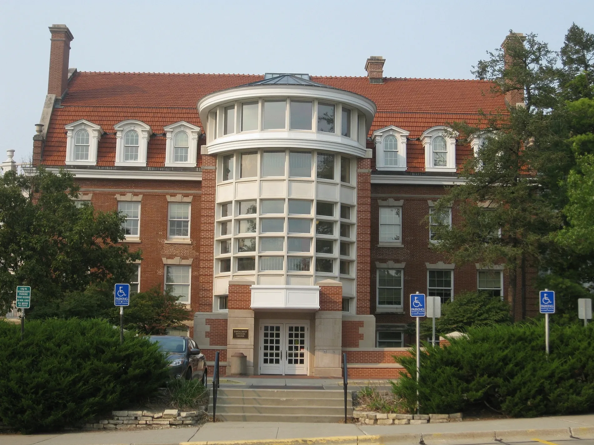
Restaurants
Streets nearby
Hayward AvenueJoy's Mongolian Grill, India Palace, Domino's, Power Tennis, Jefferson Lines, Ames EV Intermodal, Hayward Avenue at Wilson Hall Southbound, Hayward Avenue at Wilson Hall Northbound
450 ft
Union DriveState Gym, Upper Friley, Student Services, Air Spiral, Union Drive Marketplace, Friley Windows, West Side Market, Union Drive at the Knoll, Beyer Hall, Whirlybird's, Three Athletes, Lake Laverne North, Fountain of the Four Seasons, Memoral Union North, Business Cafe, Campanile, Untitled
0.1 mi
North Hyland AvenueHyland Avenue at Lincoln Way Southbound, Hyland Avenue at Lincoln Way Northbound, Hyland Avenue at Ontario Street Southbound, Hyland Avenue at Forest Hills Drive Southbound, Hyland Avenue at Oakland Street Southbound, Hyland Avenue at Ross Road Northbound, Hyland Avenue at Forest Hills Drive Northbound, Hyland Avenue at Sheldon Avenue Northbound
0.2 mi
Campus Avenue0.3 mi
West StreetWest Street at Hyland Avenue Westbound, West Street at Hyland Avenue Eastbound
0.3 mi
Sheldon Avenue Extension0.3 mi
Apartment buildings nearby
Union on Lincoln Way0.2 mi
Auto repair shops nearby
Campus Garage0.2 mi
Banks nearby
U.S. Bank450 ft
Bars nearby
Thumbs0.3 mi
Buildings nearby
The Annex of Collegiate United Methodist Church and Wesley Foundation0.2 mi
Marston Water Tower0.2 mi
Clinics nearby
Thielen Student Health Center0.2 mi
Community centers nearby
Lighthouse Campus Fellowship0.2 mi
Dormitories nearby
Friley Residence Hall350 ft
Helser Residence Hall450 ft
Eaton Residence Hall0.1 mi
Fast food restaurants nearby
Dunkin'0.2 mi
West Street Deli0.3 mi
Hair salons nearby
Troy's Barber Shop0.3 mi
Houses nearby
The Pier0.3 mi
Places of worship nearby
Collegiate Presbyterian Church0.2 mi
Residential areas nearby
Suites on Lincoln Way0.2 mi
Sheldon Apartments0.2 mi
Hyland Heights0.3 mi
Campus Pointe0.3 mi
Hyland Apartments0.3 mi
West Street Lofts0.3 mi
University Gardens0.4 mi
Restaurants nearby
1+1 Restaurant & Tea0.3 mi
University buildings nearby
Union Drive Community Center550 ft
Student Services0.1 mi
Laboratory Of Mechanics0.1 mi
Black Engineering0.2 mi
State Gymnasium0.2 mi
Pearson Hall0.2 mi
Beyer Hall0.2 mi
Marston Hall0.2 mi
Hoover Hall0.2 mi
Therkildsen Industrial Engineering Building0.2 mi
Student Innovation Center0.2 mi
Howe Hall0.3 mi
Elings Hall0.3 mi
Sukup Atrium0.3 mi
Biorenewables Research Laboratory0.3 mi
Sweeney Hall0.3 mi
Sukup Hall0.3 mi
Kocimski Auditorium0.3 mi
King Pavilion0.4 mi
Public transit map Ames Legend
| Railway | |
| Bus | |
| Streetcar |
Bicycle map Ames Legend
| Bike path | |
| Bike lane on roadway | |
| Cycling allowed on bus lane | |
| Bicycle street | |
| Open to cyclists | |
| Open to cyclists, good path | |
| Cycling prohibited | |
| Cobblestone |
| Long-distance bike route | (depending on scale) | |
| Long-distance bike route |
Pedestrian map Ames Legend
| Path |
| Long-distance hiking trail | (depending on scale) | |
| Long-distance hiking trail | ||
| Pedestrians prohibited |