
Knapp Street in Ames, Iowa
Knapp Street in Ames is a two-lane residential street. It runs in an east-west direction starting from Sheldon Avenue and crosses Hayward Avenue, Welch Avenue, Stanton Avenue and Lynn Avenue and ends at Ash Avenue. The bus line 6 stops here.
- Road Type
- residential street
- Lanes
- 2
- Route
- east-west
Image
Bus stops
- bus lines 6
Streets nearby
Stanton AvenueEs Tas Bar & Grill, United States Post Office - Cyclone Station, Clouds
0.2 mi
Welch AvenueWelch Avenue at Chamberlain Street Northbound, Cyclone Twister, Subway, Paddy's Irish Pub, Mickey's Irish Pub, University Barbers, The Asylum, Chicha Shack, Wok N Roll, Campus Cuts, Blue Fish Hawaii Poke Bowl, Tea Time, Wells Fargo, Welch Avenue at Knapp Street Southbound, Welch Ave. Station, Welch Avenue at Knapp Street Northbound, Welch Avenue at Chamberlain Street Southbound, Insomnia Cookies, Dogtown University
0.3 mi
Morrill RoadMorrill Road at Memorial Union, Memorial Union Food Court, Lance and Ellie's, MU Market & Café, Morrill Road at Union Drive, Beardshear Hall, Parks Library East, Panthers, Forward, Bighorn Sheep, Epilogue, Mujer Pegada Series No. 1, Transformation, Procession
0.3 mi
Apartment buildings nearby
Spruce Pointe300 ft
Stanton Heights0.2 mi
The Edge0.2 mi
Cyclone Plaza0.2 mi
Brickstone Place0.2 mi
Clock Tower Place0.2 mi
University Towers0.2 mi
The Foundry0.2 mi
23 Twenty Lincoln0.2 mi
Legacy Tower0.3 mi
Bars nearby
AJ's Ultralounge0.2 mi
BNC Field House0.2 mi
Buildings nearby
Kappa Alpha Theta150 ft
Phi Gamma Delta (FIJI)200 ft
Phi Kappa Psi300 ft
Delta Gamma400 ft
Farm House450 ft
Alpha Chi Omega550 ft
Delta Sigma Phi550 ft
Kappa Sigma0.1 mi
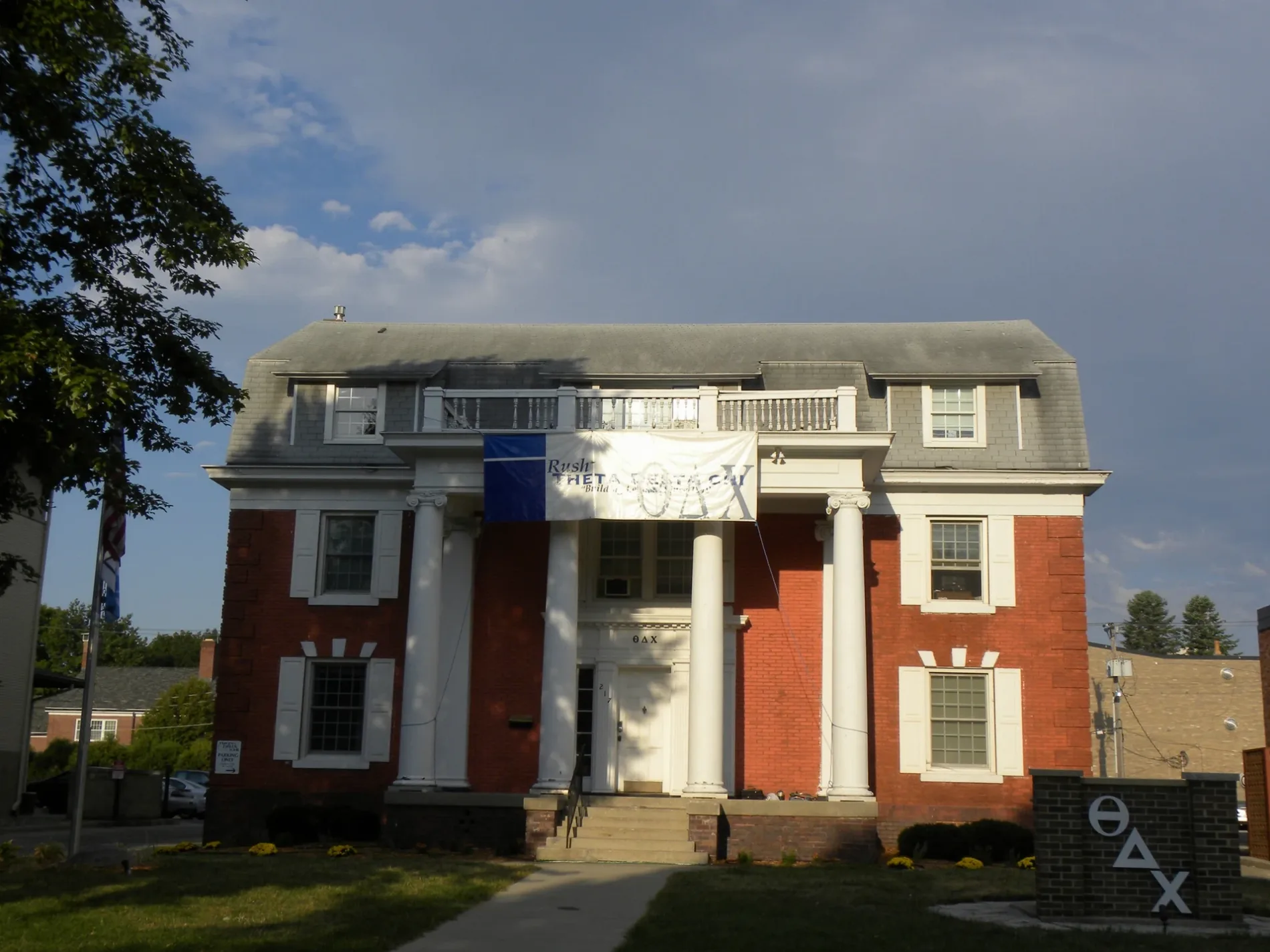
Theta Chi0.1 mi
Alpha Sigma Phi0.1 mi
Theta Delta Chi0.1 mi
Chi Phi0.1 mi
Delta Chi0.2 mi
Kappa Kappa Gamma0.2 mi
Delta Upsilon0.2 mi
Adelante0.2 mi
Campustown Clock Tower0.3 mi
Clothing stores nearby
Portobello Road0.3 mi
Commercial areas nearby
Campustown0.2 mi
Commercial buildings nearby
Chamberlynn Professional Building0.2 mi
Cranford Building0.3 mi
Kingland Building0.3 mi
Fire stations nearby
Ames Fire Department Station 20.3 mi
Gas stations nearby
Kum & Go0.3 mi
Parks nearby
Campustown Court0.3 mi
Places of worship nearby
First Baptist Church of Ames500 ft
St Thomas Aquinas Church & Catholic Student Center0.2 mi
Memorial Lutheran Church0.2 mi
St. John's by the Campus Episcopal Church of Ames0.2 mi
Residential areas nearby
Cardinal Terrace0.2 mi
Residential buildings nearby
The Resort0.2 mi
Restaurants nearby
Macubana0.3 mi
Streams nearby
College Creek0.3 mi
Swimming pools nearby
Campustown Pool0.2 mi
Public transit map Ames Legend
| Railway | |
| Bus | |
| Streetcar |
Bicycle map Ames Legend
| Bike path | |
| Bike lane on roadway | |
| Cycling allowed on bus lane | |
| Bicycle street | |
| Open to cyclists | |
| Open to cyclists, good path | |
| Cycling prohibited | |
| Cobblestone |
| Long-distance bike route | (depending on scale) | |
| Long-distance bike route |
Pedestrian map Ames Legend
| Path |
| Long-distance hiking trail | (depending on scale) | |
| Long-distance hiking trail | ||
| Pedestrians prohibited |