
Baker Street in Ames, Iowa
Baker Street in Ames is a residential street. It runs in an east-west direction starting from Stanton Avenue and ends at Lynn Avenue. Baker Street also exists in Marion County, Dallas County, Cass County, Johnson County and Linn County.
- Road Type
- residential street
- Route
- east-west
Image
Artworks
Clothing stores
Pastry shops
Bus stops
Bars
Cafes
Restaurants
Post offices
Streets nearby
Lynn AvenueLynn Avenue at Chamberlain Street Southbound, Lynn Avenue at Knapp Street Northbound, Lynn Avenue at Chamberlain Street Northbound
350 ft
Donald Street350 ft
Knapp StreetKnapp Street at Lynn Avenue Westbound, Knapp Street at Welch Avenue Eastbound
0.1 mi
Graeber Street0.1 mi
Stanton AvenueEs Tas Bar & Grill, United States Post Office - Cyclone Station, Clouds
0.2 mi
Welch AvenueWelch Avenue at Knapp Street Southbound, Subway, Paddy's Irish Pub, Mickey's Irish Pub, University Barbers, The Asylum, Chicha Shack, Wok N Roll, Campus Cuts, Blue Fish Hawaii Poke Bowl, Tea Time, Wells Fargo, Welch Avenue at Chamberlain Street Northbound, Cyclone Twister, Welch Ave. Station, Welch Avenue at Knapp Street Northbound, Welch Avenue at Chamberlain Street Southbound, Insomnia Cookies, Dogtown University
0.2 mi
Hughes Street0.2 mi
Throwing Circles0.2 mi
Country Club Boulevard0.2 mi
Storm StreetStorm Street at Welch Avenue Eastbound, Storm Street at Welch Avenue Westbound
0.2 mi
Welch TurnaroundTowers Welch Turnaround
0.2 mi
Little Street0.2 mi
Ash Avenue0.3 mi
Hayward AvenueHayward Avenue at Wilson Hall Southbound, Hayward Avenue at Wilson Hall Northbound, Jefferson Lines, Ames EV Intermodal, Joy's Mongolian Grill, India Palace, Domino's, Power Tennis
0.4 mi
Mortensen RoadMortensen Parkway at Gateway Hills Park Drive Eastbound, Mortensen Parkway at Hayward Avenue Eastbound, Mortensen Parkway at Gateway Hills Park Drive Westbound, Mortensen Parkway at Hayward Avenue Westbound, Mortensen Road at Poe Avenue Westbound, Mortensen Road at Poe Avenue Eastbound, Mortensen Road at Miller Avenue Eastbound, Mortensen Road at Miller Avenue Westbound, Mortensen Road at Wilder Boulevard Eastbound, Mortensen Road at Wilder Boulevard Westbound, Mortensen Road at Lawrence Avenue Eastbound, Mortensen Road at Lawrence Avenue Westbound, Kum & Go, Vision Bank, Sleep Inn & Suites, Mortensen Road at Pinon Road Westbound, Mortensen Road at Dotson Drive Eastbound, Mortensen Road at Coconino Road Eastbound, Ames Middle School, Mortensen Road at Seagrave Boulevard Westbound, Mortensen Road at Seagrave Boulevard Eastbound
0.4 mi
Apartment buildings nearby
Spruce Pointe500 ft
The Crawford0.1 mi
The Stritz0.2 mi
Stanton Heights0.2 mi
Cardinal Terrace0.2 mi
Buildings nearby
Kappa Alpha Theta0.1 mi
Phi Gamma Delta (FIJI)0.1 mi
Delta Gamma0.1 mi
Phi Kappa Psi0.1 mi
Delta Sigma Phi0.2 mi
Alpha Chi Omega0.2 mi
Farm House0.2 mi
Delta Delta Delta0.2 mi
Alpha Sigma Phi0.2 mi
Kappa Sigma0.2 mi
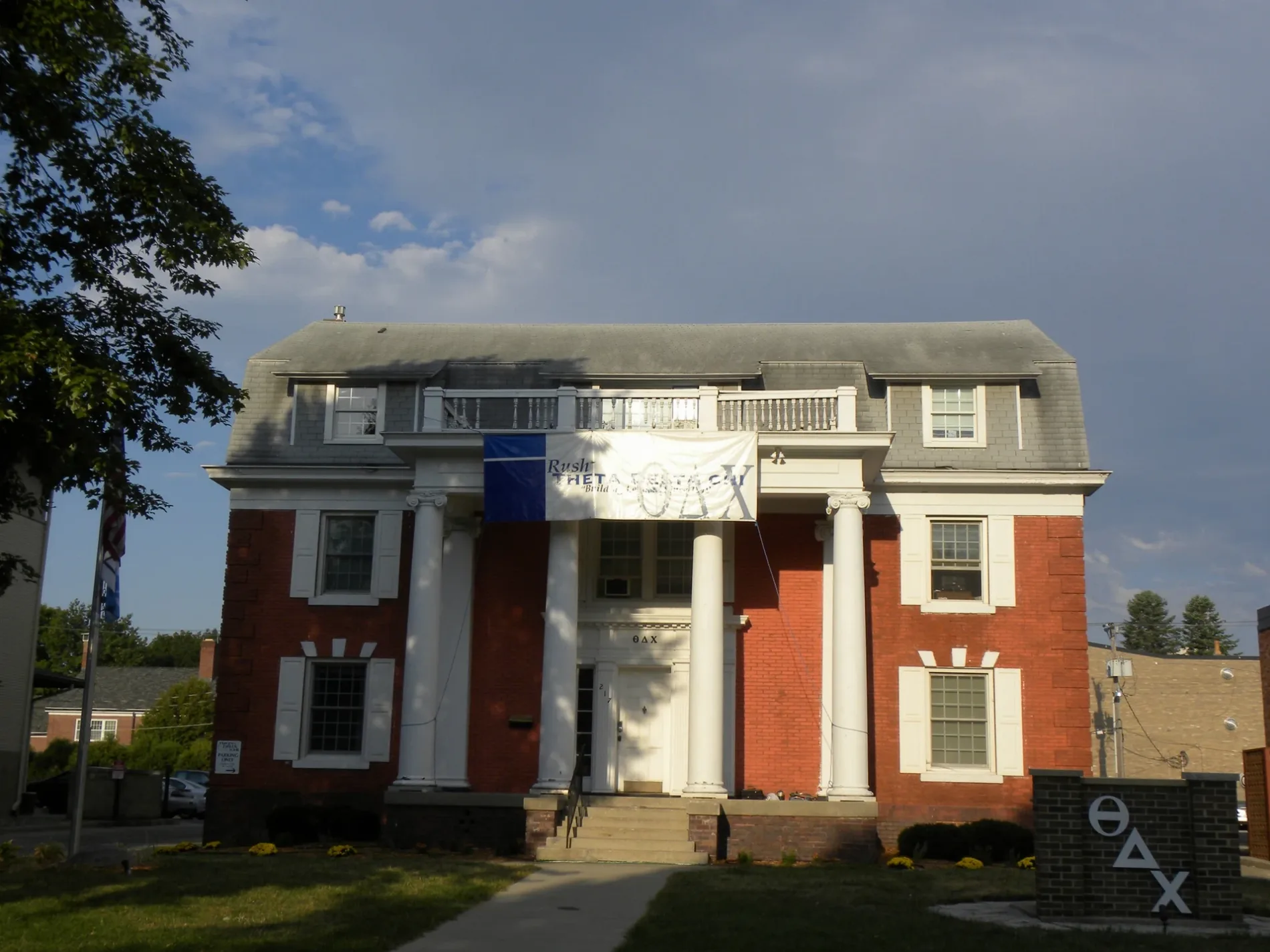
Theta Chi0.2 mi
Adelante0.2 mi
Theta Xi0.2 mi
Track Storage0.3 mi
Soccer Pressbox0.3 mi
Locker Rooms0.3 mi
Concessions0.3 mi
Softball Pressbox0.4 mi
Maintenance Building0.4 mi
Dormitories nearby
Wallace Residence Hall0.3 mi
Wilson Residence Hall0.4 mi
Places of worship nearby
First Baptist Church of Ames0.2 mi
Residential areas nearby
425 Welch Apartments0.2 mi
Residential buildings nearby
Pi Kappa Phi0.2 mi
Welch Crown Center0.3 mi
Sports centers nearby
Cyclone Sports Complex0.3 mi
Sports fields nearby
Basketball Courts0.4 mi
University buildings nearby
Knapp-Storms Dining Complex0.3 mi
Wallace-Wilson Commons0.3 mi
 Public transit map Ames Legend
| Railway | |
| Bus | |
| Streetcar |
 Bicycle map Ames Legend
| Bike path | |
| Bike lane on roadway | |
| Cycling allowed on bus lane | |
| Bicycle street | |
| Open to cyclists | |
| Open to cyclists, good path | |
| Cycling prohibited | |
| Cobblestone |
| Long-distance bike route | (depending on scale) | |
| Long-distance bike route |
 Pedestrian map Ames Legend
| Path |
| Long-distance hiking trail | (depending on scale) | |
| Long-distance hiking trail | ||
| Pedestrians prohibited |