
Morrill Road in Ames, Iowa
Morrill Road in Ames is a single-lane, concrete, lit unclassified road. The street has bike paths (bike protection lane). It runs in a north-south direction starting from Union Drive and crosses Lincoln Way and ends at Lynn Avenue. This street is part of the Bicycle route "Morril Road". Nearby you can find among others 7 artworks, a food court and a fast food restaurant. The nearest stops are Beardshear Hall and Parks Library East. The bus lines 6 and 23 serve this stop.
- Road Type
- residential street
- Bicycle
- designated
- Speed Limit
- 25 mph
- Lanes
- 2
- Route
- north-south
Artworks
Streets nearby
George Washington Carver Plaza0.1 mi
Welch RoadLake Laverne West, Lower Friley
0.1 mi
Union DriveUpper Friley, Student Services, Air Spiral, Union Drive Marketplace, Friley Windows, West Side Market, Union Drive at the Knoll, Beyer Hall, Whirlybird's, Three Athletes, Lake Laverne North, Fountain of the Four Seasons, Memoral Union North, Business Cafe, Campanile, Untitled, State Gym
0.2 mi
Plaza of Heroines0.3 mi
AgoraThe Roasterie, Heaping Plato, Jack Trice, Left-Sided Angel, Solo, Bookends Cafe
0.3 mi
Apartment buildings nearby
The Foundry0.1 mi
University Towers0.1 mi
23 Twenty Lincoln0.1 mi
The Edge0.2 mi
Commercial areas nearby
Campustown500 ft
Commercial buildings nearby
Cranford Building0.1 mi
Fountains nearby
Marriage Ring0.3 mi
Libraries nearby
Parks Library0.3 mi
Museums nearby
Farm House Museum0.3 mi
Parks nearby
Central Campus0.2 mi
Anderson Sculpture Garden0.2 mi
Places of worship nearby
Memorial Lutheran Church0.1 mi
St. John's by the Campus Episcopal Church of Ames0.1 mi
Scrubs nearby
Swan Island0.1 mi
University buildings nearby
Memorial Union300 ft
Simon Estes Music Hall450 ft
Carver Hall0.1 mi
Campanile0.1 mi
Gerdin Business Building0.1 mi
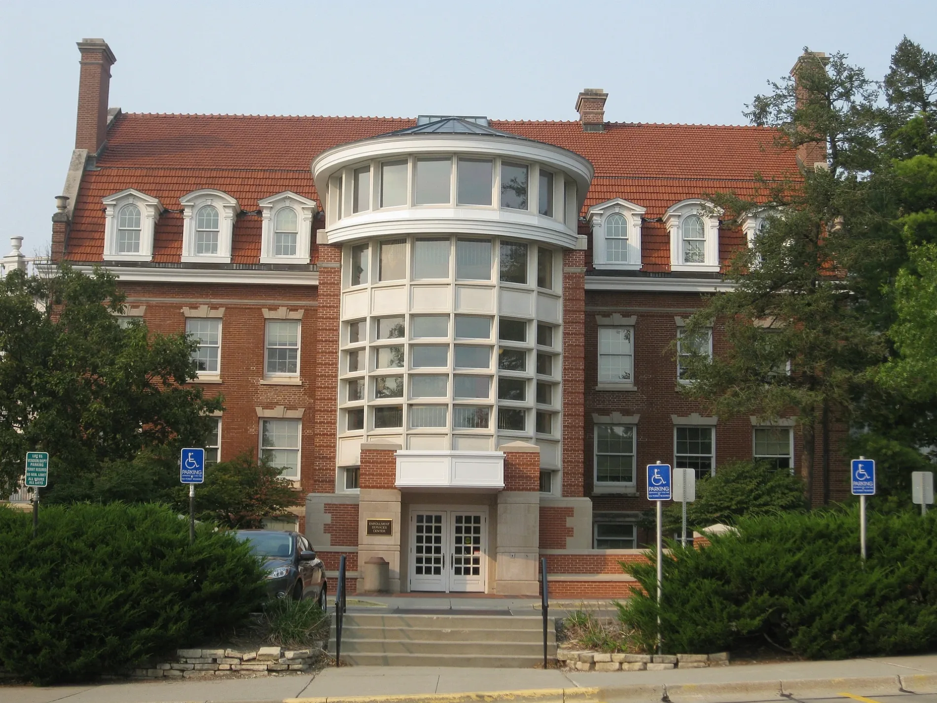
Enrollment Services Center0.1 mi
Sloss House0.2 mi
Beardshear Hall0.2 mi
Student Services0.2 mi
Curtiss Hall0.2 mi
Pearson Hall0.2 mi
Laboratory Of Mechanics0.2 mi
Morrill Hall0.2 mi
Union Drive Community Center0.2 mi
Hub0.2 mi
Ross Hall0.2 mi
Jischke Honors Building0.3 mi
Black Engineering0.3 mi
Marston Hall0.3 mi
Horticulture Hall0.3 mi
Catt Hall0.3 mi
Hoover Hall0.3 mi
Palmer Building0.3 mi
Human Nutritional Sciences Building0.3 mi
Durham Center0.3 mi
Atanasoff Hall0.3 mi
MacKay Hall0.3 mi
LeBaron Hall0.3 mi
Snedecor Hall0.3 mi
Physics Hall0.4 mi
Public transit map Ames Legend
| Railway | |
| Bus | |
| Streetcar |
Bicycle map Ames Legend
| Bike path | |
| Bike lane on roadway | |
| Cycling allowed on bus lane | |
| Bicycle street | |
| Open to cyclists | |
| Open to cyclists, good path | |
| Cycling prohibited | |
| Cobblestone |
| Long-distance bike route | (depending on scale) | |
| Long-distance bike route |
Pedestrian map Ames Legend
| Path |
| Long-distance hiking trail | (depending on scale) | |
| Long-distance hiking trail | ||
| Pedestrians prohibited |