
Ottumwa, Iowa
Ottumwa is located in Center Township. About 25,529 people live here. Between 2010 and 2020, the population grew from 25,023 to 25,529. The region is at 205 meters above sea level. The area covers about 42.8 square kilometers. There are about 1.275 streets in Ottumwa. The region was founded in 1844. The ZIP codes are 52501. The dialing code is 641. Ottumwa is city in and the county seat of Wapello County, Iowa, United States. Among other things, Ottumwa has public Transport, hotels, restaurants, cafés, clothing Stores, attractions, museums, hair Salons, dentists, doctors and pharmacies. More information at www.cityofottumwa.org.
Ottumwa – Facts
| Population | 25529 |
|---|---|
| Area | 42.8 km² |
| Year built | 1844 |
| Elevation | 205 m |
| Located in | Wapello County |
| Postal code | 52501 |
| Country | United States |
| Official name | Ottumwa |
| Described by | Great Soviet Encyclopedia (1926–1947), Encyclopædia Britannica 11th edition, Yuzhakov Big Encyclopedia |
| Website | http://www.cityofottumwa.org/ |
Data source: Wikidata (CC0)
Photos from Ottumwa
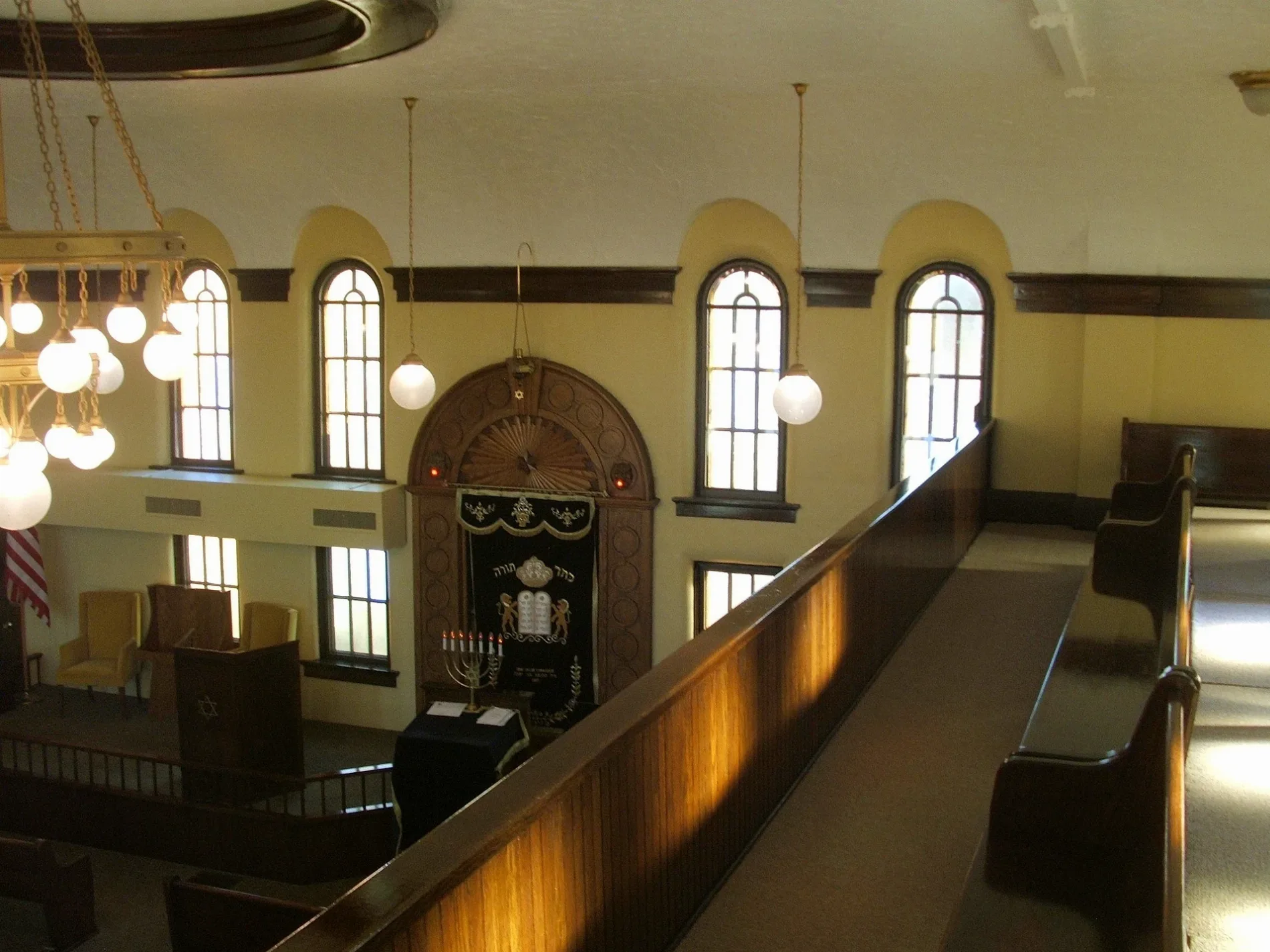
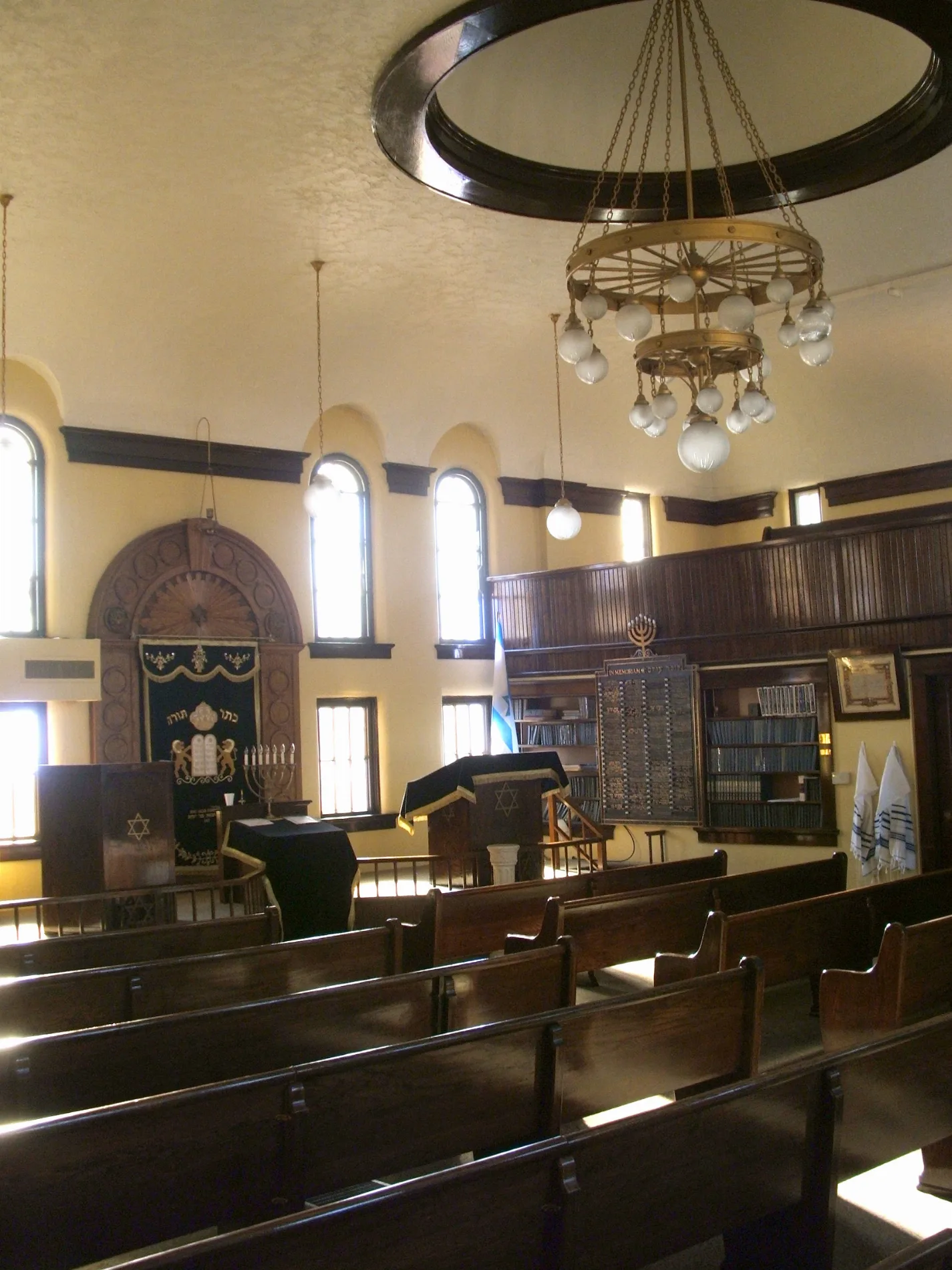
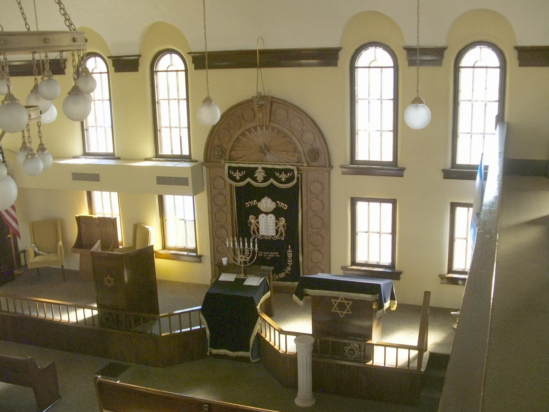
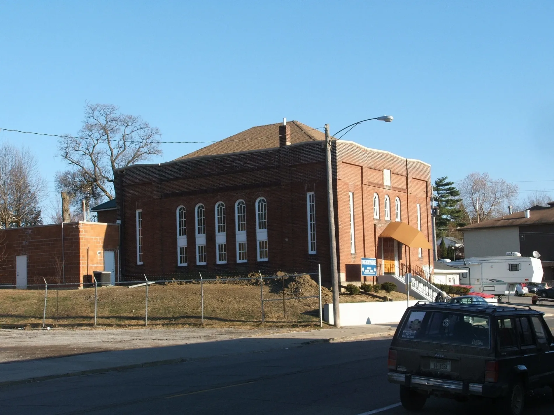
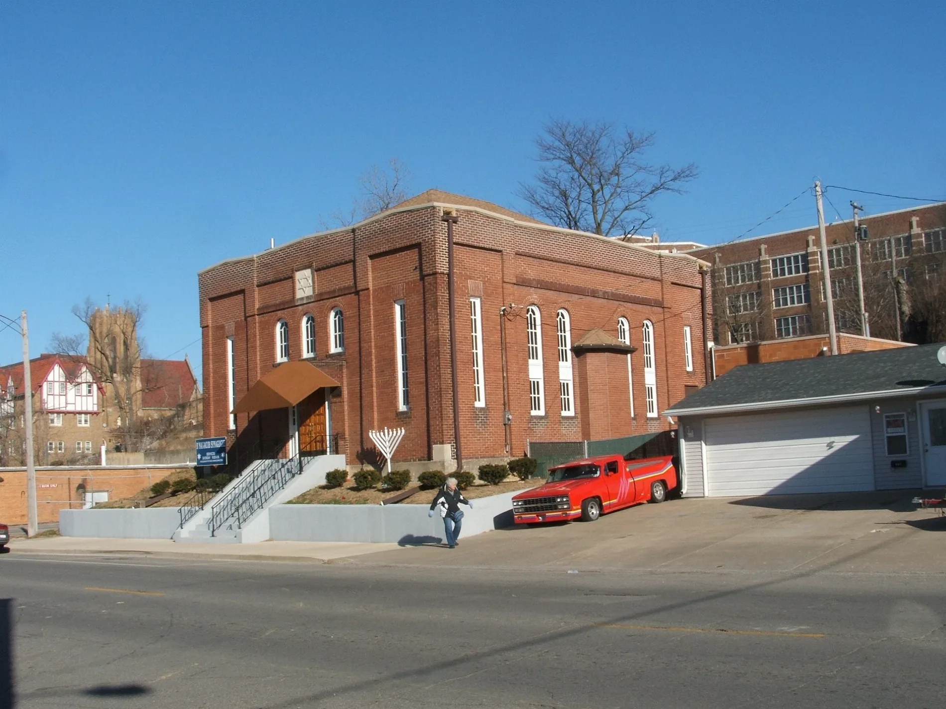
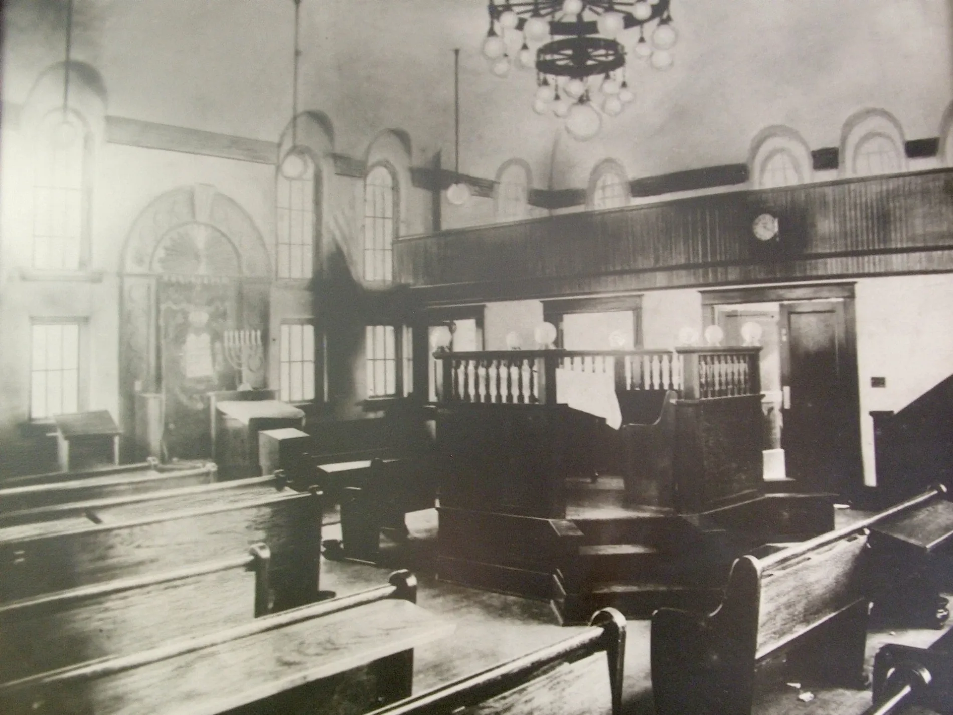
Streets in Ottumwa, Iowa
Streets
Turner Drive
Iowa Heartland History Connection, Ottumwa
Pennsylvania AvenuePita Pit, Quiznos, Terrace Hill Plaza Cleaners, Greenleaf Tobacco & Vape
North Court StreetSteve Wetrich, DDS, Moore Hearing Clinic
East Second StreetThe Bridal Cottage, Second Street Café, Tom Tom Tap
Church StreetOttumwa, William G. O'Hara DDS, Thumbs Up Awards & Embroidery
River DriveOttumwa
North Court RoadM113, Java Rocket
East Park AvenuePark Avenue Condominiums, Cedar Woods Apartments
East Main StreetEast Ottumwa, Appanoose Rapids, Greenleaf Tobacco & Vape
Wildwood DriveSassy Sunflower
North Market StreetJim's Barber Shop
South Wapello StreetOttumwa Police Department
North Ferry StreetGreenleaf Tobacco & Vape
Gateway DriveTenco
Northgate StreetMcDonald's
West Elmdale AvenueFaith Chapel Open Bible
West Main StreetWapello County Jail
West Second StreetWapello County Sheriffs Office
East Third StreetOhana Grill
Richmond AvenueMcDonald's
South Court StreetOwl's Nest
West Fourth Street
North Cass Street
Lynwood Circle
Chase Street
Gleneagle Lane
Friendly Lane
Echo Street
Clarence Street
West Williams Street
Phillips Street
South Fellows Avenue
Randolph Street
Sherwood Drive
Kenyon Avenue
Clayton Street
South Graves Street
Valley Street
North Quincy Avenue
Wapello Street
North James Street
North Foster Avenue
Lakeside Drive
Traxler Drive
Sheffield Street
Oak Street
Myrtle Street
Kenyon StreetAmenities
Shops
Auto repair shops
Banks
Buildings
Car dealerships
Clothing stores
Dentist's offices
Doctor's offices
Fast food restaurants
Fitness centers
Furniture stores
Motorcycle shops
Paint stores
Parks
Places of worship
Post offices
Railways
Restaurants
Retail buildings
School buildings
Social facilities
Specialty stores
Sports fields
Studios
Public transit map Ottumwa Legend
| Railway | |
| Bus | |
| Streetcar |
Bicycle map Ottumwa Legend
| Bike path | |
| Bike lane on roadway | |
| Cycling allowed on bus lane | |
| Bicycle street | |
| Open to cyclists | |
| Open to cyclists, good path | |
| Cycling prohibited | |
| Cobblestone |
| Long-distance bike route | (depending on scale) | |
| Long-distance bike route |
Pedestrian map Ottumwa Legend
| Path |
| Long-distance hiking trail | (depending on scale) | |
| Long-distance hiking trail | ||
| Pedestrians prohibited |