
North Cherry Street in Ottumwa, Iowa
North Cherry Street in Ottumwa is an asphalted residential street. It runs in a north-south direction and crosses Hackberry Street, East Fourth Street, Plum Street, Locust Street and East Second Street and ends at South Cherry Street, while the other end is a cul-de-sac. North Cherry Street also exists in Pottawattamie County, Union County, Madison County, Davis County and Henry County.
- Road Type
- residential street
- Route
- north-south
Image
Police stations
Clothing stores
Hair salons
Museums
- Iowa Heartland History Connection (Web) – approx. 0.7 mi.
Dry cleaners
Tobacco shops
Bars
Fast food restaurants
Artworks
Platforms
Bus stops
Restaurants
Dentist offices
Doctor's offices
Stations
Prisons
Vacation apartments
Streets nearby
Plum Street350 ft
North Birch Street400 ft
Hackberry Street0.1 mi
Blake Street0.1 mi
South Vine Street0.1 mi
Locust Street0.1 mi
Center Avenue0.2 mi
North Union Street0.2 mi
North Ash Street0.2 mi
Hawthorne Avenue0.2 mi
Taylor Street0.2 mi
East Second StreetThe Bridal Cottage, Second Street Café, Tom Tom Tap
0.2 mi
South Birch Street0.2 mi
Meadow Street0.2 mi
South Cherry Street0.2 mi
East Fourth Street0.2 mi
South Union Street0.3 mi
North Cooper Avenue0.3 mi
Norris Street0.3 mi
Grant Street0.3 mi
Spring Street0.3 mi
South Ash Street0.3 mi
East Main StreetGreenleaf Tobacco & Vape, East Ottumwa, Appanoose Rapids
0.3 mi
Grove Street0.3 mi
South Cooper Avenue0.3 mi
North Iowa Avenue0.3 mi
Steller Avenue0.3 mi
South Elm Street0.3 mi
Carroll Street0.3 mi
South Fellows Avenue0.4 mi
North Elm Street0.4 mi
North Fellows Avenue0.4 mi
North Van Buren Avenue0.4 mi
Railroad Street0.5 mi
South Van Buren Avenue0.5 mi
Apartment buildings nearby
Hillside Apartments0.3 mi
Steller Woods Village0.4 mi
Car dealerships nearby
Carl's Used Cars & Detail Shop0.3 mi
Commercial buildings nearby
MidAmerican Energy0.4 mi
Convenience stores nearby
Casey's General Store0.3 mi
Copy shops nearby
Ottumwa Printing Company0.2 mi
Funeral homes nearby
Reece Funeral Home0.2 mi
Places of worship nearby
Iglesia Pentecostés Monte Sinaí0.2 mi
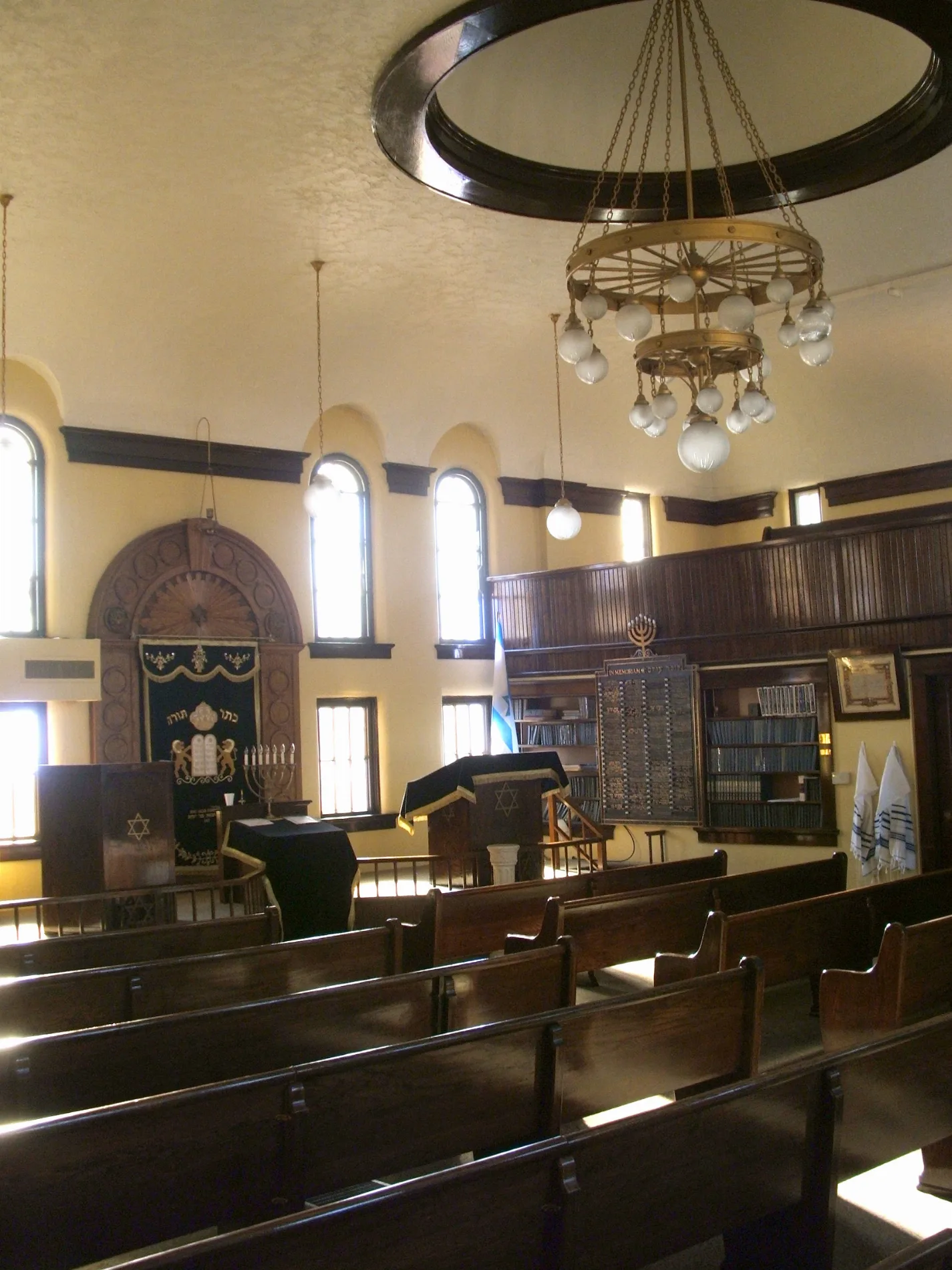
B'nai Jacob Synagogue0.3 mi
School buildings nearby
Schafer Stadium Fieldhouse0.3 mi
Sports fields nearby
Schaefer Field0.2 mi
Ottumwa High School Football Practice Facility0.3 mi
Stadiums nearby
Schaefer Stadium0.3 mi
Variety stores nearby
Dollar General0.2 mi
 Public transit map Ottumwa Legend
| Railway | |
| Bus | |
| Streetcar |
 Bicycle map Ottumwa Legend
| Bike path | |
| Bike lane on roadway | |
| Cycling allowed on bus lane | |
| Bicycle street | |
| Open to cyclists | |
| Open to cyclists, good path | |
| Cycling prohibited | |
| Cobblestone |
| Long-distance bike route | (depending on scale) | |
| Long-distance bike route |
 Pedestrian map Ottumwa Legend
| Path |
| Long-distance hiking trail | (depending on scale) | |
| Long-distance hiking trail | ||
| Pedestrians prohibited |