
South Vine Street in Ottumwa, Iowa
South Vine Street in Ottumwa is a residential street. It runs in a northeast-southwest direction starting from North Birch Street and crosses East Second Street, East Main Street, Nieman Street, Mill Street and Hayne Street. It ends in a cul-de-sac. South Vine Street also exists in Agency.
- Road Type
- residential street
- Route
- northeast-southwest
Image
Restaurants
Police stations
Stations
Gift shops
Tobacco shops
Bars
Clothing stores
Hair salons
Museums
- Iowa Heartland History Connection (Web) – approx. 0.7 mi.
Bus stops
Fast food restaurants
Dentist offices
Artworks
Platforms
Prisons
Dry cleaners
Streets nearby
Nieman Street450 ft
South Birch Street0.2 mi
South Union Street0.2 mi
Hayne Street0.2 mi
South Cherry Street0.2 mi
East Second StreetThe Bridal Cottage, Second Street Café, Tom Tom Tap
0.2 mi
East Main StreetGreenleaf Tobacco & Vape, East Ottumwa, Appanoose Rapids
0.2 mi
Blake Street0.3 mi
North Union Street0.3 mi
North Birch Street0.3 mi
South Ash Street0.3 mi
Wabash Bridge0.3 mi
College Street0.3 mi
Vine Street0.3 mi
Mill Street0.3 mi
North Cherry Street0.3 mi
South Cooper Avenue0.3 mi
Plum Street0.3 mi
Meadow Street0.3 mi
Locust Street0.3 mi
Jefferson Street Viaduct0.4 mi
East Fourth Street0.4 mi
Hackberry Street0.4 mi
South Jefferson Street0.4 mi
Railroad Street0.4 mi
Abandoned railways nearby
Ottumwa Branch (Sixteenth District)0.4 mi
Apartment buildings nearby
Hillside Apartments0.2 mi
Car dealerships nearby
Carl's Used Cars & Detail Shop500 ft
Martz Auto Sales0.3 mi
Clothing stores nearby
Elegance by Design0.4 mi
My Chic Boutique0.4 mi
Commercial buildings nearby
MidAmerican Energy200 ft
Overhead Door Company400 ft
American Red Cross0.3 mi
Convenience stores nearby
Casey's General Store0.2 mi
Copy shops nearby
Ottumwa Printing Company0.1 mi
Dentist's offices nearby
James D. Enloe, DDS0.3 mi
Funeral homes nearby
Reece Funeral Home0.2 mi
Pawn shops nearby
Nancy's Pawn Shop0.3 mi
Places of worship nearby
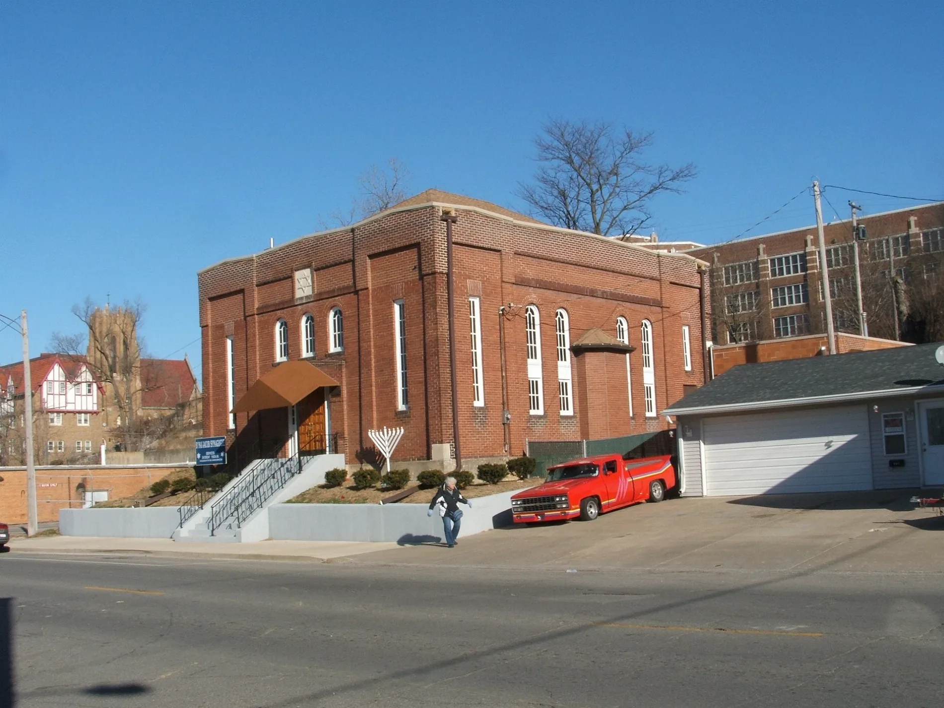
B'nai Jacob Synagogue0.2 mi
Wesley United Methodist Church0.3 mi
Heartland Assembly of God0.3 mi
Iglesia Pentecostés Monte Sinaí0.3 mi
Restaurants nearby
Breadeaux Pizza & Champ's Chicken0.3 mi
Shopping malls nearby
Market on Main0.4 mi
Sports centers nearby
National Little League0.4 mi
Studios nearby
Ottumwa Radio0.3 mi
KMGO0.4 mi
Variety stores nearby
Dollar General0.2 mi
Public transit map Ottumwa Legend
| Railway | |
| Bus | |
| Streetcar |
Bicycle map Ottumwa Legend
| Bike path | |
| Bike lane on roadway | |
| Cycling allowed on bus lane | |
| Bicycle street | |
| Open to cyclists | |
| Open to cyclists, good path | |
| Cycling prohibited | |
| Cobblestone |
| Long-distance bike route | (depending on scale) | |
| Long-distance bike route |
Pedestrian map Ottumwa Legend
| Path |
| Long-distance hiking trail | (depending on scale) | |
| Long-distance hiking trail | ||
| Pedestrians prohibited |