
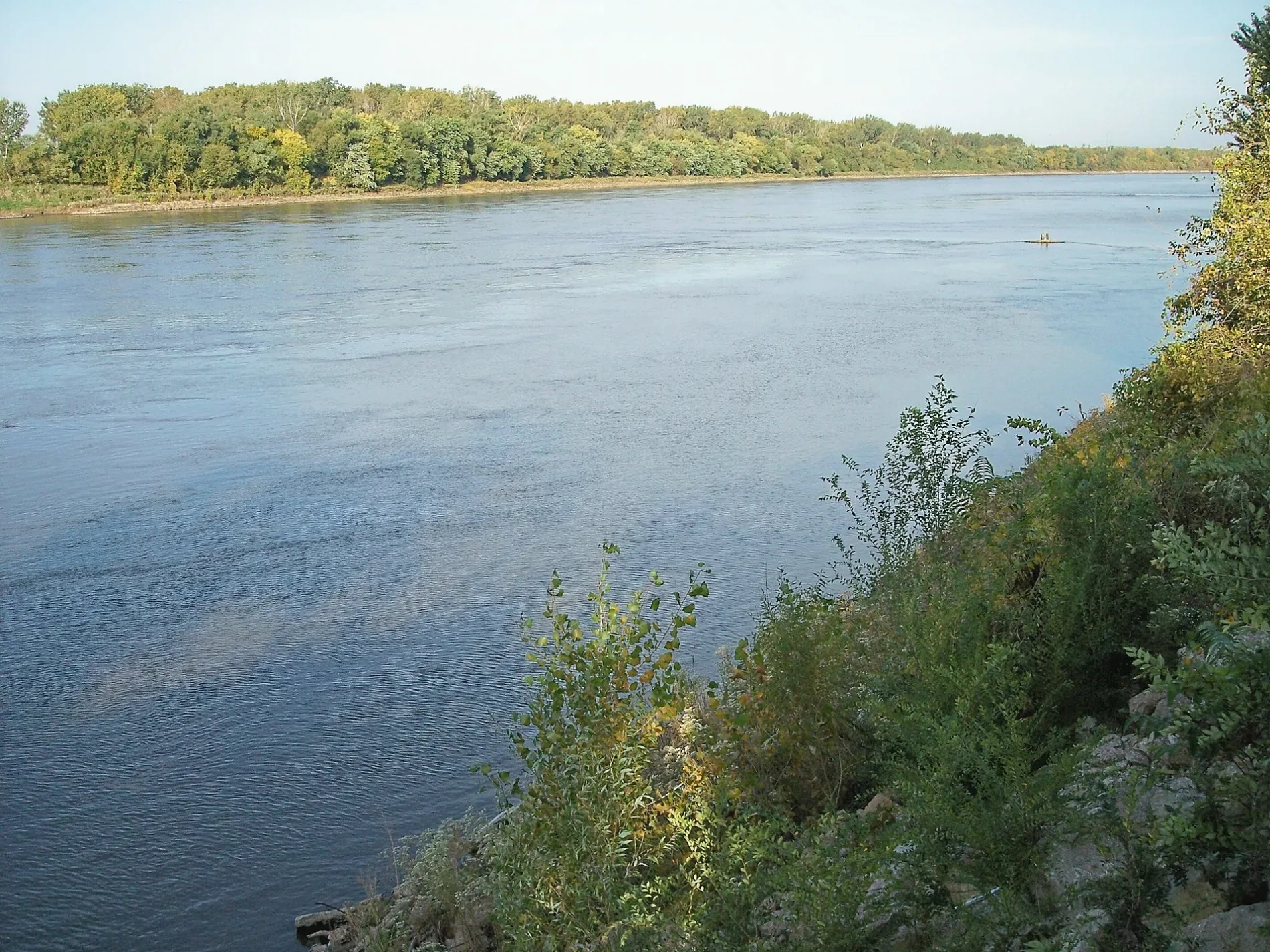
Missouri River in Atchison, Kansas
Missouri River in Atchison is a river. Missouri River is also known as Missouri. Missouri River also exists in Shannon Township and Walnut Township. Ⓦ.
- Waterway Type
- river
Image
Candy stores
Restaurants
Banks
Artworks
Religious goods stores
Furniture stores
Convenience stores
Police stations
Viewpoints
Museums
- Evah C. Cray Historical Home Museum (Web) at North 5th Street 805 (66002) – approx. 0.5 mi.
Craft stores
Cafes
Bars
Shoe stores
Galleries
- Muchnic Gallery (Atchison Art Association, Web) at North 4th Street 704 (66002) – approx. 0.4 mi.
Tire dealers
Pubs
Funeral homes
Studios
Supermarkets
Dentist offices
Interior decorators
Community centers
Streets nearby
East Laramie Street0.1 mi
East Kearney Street0.2 mi
River Road0.2 mi
East Atchison Street0.2 mi
East Riley Street0.2 mi
Washington Street0.2 mi
East Mound Street0.3 mi
North 1st Street0.3 mi
North 2nd Street0.3 mi
North 3rd Street0.3 mi
Mound Street0.3 mi
Atchison Street0.3 mi
North Terrace Street0.4 mi
Riley StreetEvah C. Cray Historical Home Museum
0.4 mi
Commercial StreetThe Sapphire Spider, UMB Bank, The Berry Best Fudge Company, Lights Out, Jock’s Nitch, Naomi Rose Hat Company and Boutique, Strong Body Shop, Daylight Donuts, Poor Richard's Printing, Copying & Office Products, Always Blooming, Revive Salon and Spa, Skyway Vapes, Purveyor, Alley Cats Storage, Rainbow, Rudolph's, Anderson Eye Care & Optical, Atchison Furniture Company, Backroads Atlas, Bargain Books and More, Gambino's Pizza, Do it Best, Hilligoss Shoe Store, Pace e Bene Catholic Shoppe, Pete’s Steakhouse, The Wine Cellar
0.4 mi
Laramie Street0.5 mi
North 5th StreetArensberg Pruett Funeral Home, The Sunflower Café, Atchison Dental Associates
0.5 mi
Kearney StreetMuchnic Gallery
0.5 mi
Parallel StreetAtchison County Sheriff's Department, Atchison County Sheriff's Department Jail
0.5 mi
North 4th StreetThe Artist Box
0.5 mi
South 3rd StreetPaolucci’s Restaurant, Deli, & Lounge
0.5 mi
South 2nd StreetMueller's Lockeroom
0.5 mi
Kansas AvenueKAIR Radio, Atchison, Atchison Police Department, Elks Lodge, Union State Bank of Kansas, Exchange Bank & Trust, Becker-Dyer-Stanton Funeral Home, Franklin Elementary School
0.5 mi
Amelia Earhart Bridge0.5 mi
Main StreetKex Rx, O'Reilly Auto Parts
0.6 mi
South 4th StreetAlps Foods
0.6 mi
Attractions nearby
Sallie House0.3 mi
Buildings nearby
Saint Joseph Hall0.4 mi
Courthouses nearby
Atchison County Courthouse0.5 mi
Covered areas nearby
Lewis and Clark Pavilion0.4 mi
Dormitories nearby
Lemke Hall0.3 mi
Wolf Hall0.3 mi
Legacy Hall0.3 mi
Kremmeter Hall0.4 mi
Fitness centers nearby
Murphy Recreation Center0.3 mi
Libraries nearby
Atchison Public Library0.5 mi
Museums nearby
Amelia Earhart Birthplace Museum0.3 mi
Parks nearby
Challis Park0.3 mi
Places of worship nearby
First Presbyterian Church0.5 mi
Atchison United Methodist Church0.5 mi
Riverbend Bible Church0.6 mi
Railways nearby
BNSF0.5 mi
Atchison Bridge0.5 mi
BNSF Connection0.5 mi
Secondhand stores nearby
Sacred Heart Variety Store0.6 mi
Single-family houses nearby
Glick–Orr House0.3 mi
Sports centers nearby
Atchison Family YMCA0.5 mi
Sports fields nearby
Legacy Field0.4 mi
Streams nearby
White Clay Creek0.5 mi
| Named after | Missouria |
|---|---|
| Length | 3726 |
| Located in | Montana, North Dakota, South Dakota, Nebraska, Iowa, Missouri, Kansas |
| Country | United States |
| Mouth | Mississippi River |
| Tributary | Little Missouri River, Grand River, Moreau River, Cheyenne River, Bad River, White River, Niobrara River, James River, Vermillion River, Big Sioux River, Platte River, Kansas River, Milk River, Yellowstone River, Osage River, Mosquito Creek, Boyer River, Ponca Creek, Perry Creek, Floyd River, Little Sioux River, Soldier River, Jefferson River, Marias River, Dearborn River, Madison River, Cannonball River, Gallatin River, Roe River, Heart River, Musselshell River, Knife River, Big Muddy Creek, Judith River, Sun River, Chariton River, Arrow Creek, Belt Creek, Blue River, Cow Creek, Crooked River, Cuivre River, Fishing River, Gasconade River, Lamine River, Little Blue River, Little Muddy Creek, Loutre River, Nodaway River, Papillion Creek, Poplar River, Redwater River, Sixteen Mile Creek, Smith River, Tarkio River, Wolf River, Nishnabotna River, Big Dry Creek (Montana), Auxvasse Creek, Big Berger Creek, Perche Creek, Blacksnake Creek, Big Nemaha River, Little Nemaha River, Sacagawea River, Little Chariton River, Sni-A-Bar Creek |
| Native name | Missouri River |
| Described by | Brockhaus and Efron Encyclopedic Dictionary, Small Brockhaus and Efron Encyclopedic Dictionary, Great Soviet Encyclopedia (1926–1947), Encyclopædia Britannica 11th edition, The American Cyclopædia, Collier's New Encyclopedia, 1921, New International Encyclopedia, The New Student's Reference Work, Granat Encyclopedic Dictionary |
 Public transit map Atchison Legend
| Railway | |
| Bus | |
| Streetcar |
 Bicycle map Atchison Legend
| Bike path | |
| Bike lane on roadway | |
| Cycling allowed on bus lane | |
| Bicycle street | |
| Open to cyclists | |
| Open to cyclists, good path | |
| Cycling prohibited | |
| Cobblestone |
| Long-distance bike route | (depending on scale) | |
| Long-distance bike route |
 Pedestrian map Atchison Legend
| Path |
| Long-distance hiking trail | (depending on scale) | |
| Long-distance hiking trail | ||
| Pedestrians prohibited |