
North 27th Street in Louisville, Kentucky
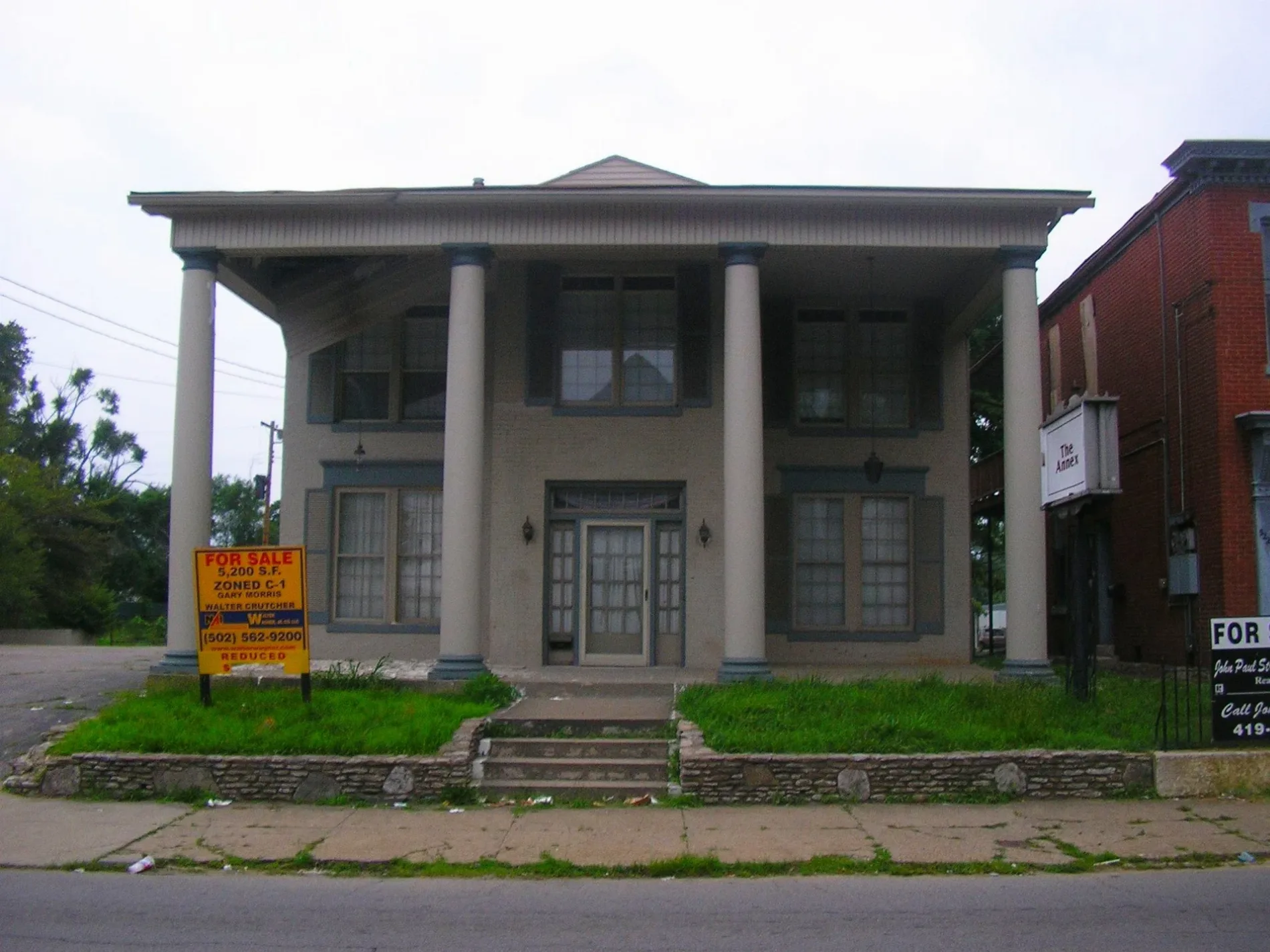
North 27th Street in Louisville is a residential street. It runs in a north-south direction starting from Saint Xavier Street and ends at Slevin Street. North 27th Street also exists in McCracken County.
- Road Type
- residential street
- Route
- north-south
Image
Places of worship
Platforms
Streets nearby
North 26th Street0.1 mi
Alford Avenue0.2 mi
Garfield Avenue0.2 mi
Griffiths AvenueGriffiths / 22nd, Griffiths / 23rd, Griffiths / 24th
0.2 mi
Cleveland Avenue0.2 mi
North 29th StreetBank / 29th, 29th / Slevin, Garfield Avenue Baptist Church, 29th / Griffiths, 29th / St. Xavier, 29th / Bank
0.2 mi
Saint Cecilia Street0.2 mi
Saint Xavier Street22nd / St. Xavier, Word of Faith Church
0.2 mi
Slevin Street24th / Slevin, Slevin / 25th, Slevin / 29th, Slevin / 26th, Slevin / 28th, Slevin / 27th, Slevin / 30th
0.3 mi
Locher Alley0.3 mi
Gilligan Street0.3 mi
Lytle Street0.3 mi
North 25th Street0.3 mi
North 30th Street30th / Rowan, 30th / Alford
0.3 mi
North 28th Street0.3 mi
Columbia Street0.3 mi
Bank Court0.4 mi
Crop StreetPleasant Union General Baptist Church
0.4 mi
Owen Street0.4 mi
Portland AvenuePortland / 27th, Portland / 22nd, The Table, Portland / 31st, Portland / 29th, Portland / Carter, Northwestern Pkwy / Portland, Portland / Family Health Center, Portland / 24th, Portland / 25th, Portland / 26th, Portland / 28th
0.4 mi
North 24th Street24th / Slevin, Mayhurst School, Griffiths / 24th
0.4 mi
Rowan StreetRowan / 17th
0.4 mi
Crop Court0.4 mi
South 26th StreetMarket / 26th, 26th St. Liqours
0.5 mi
South 28th Street28th @ Dumesnil (nearside), 28th @ Dumesnil, 28th @ Woodland, 28th @ Wilson, 28th @ Hill, South 28th @ Garland, South 28th @ West Kentucky, South 28th @ Kentucky, South 28th @ Greenwood, South 28th @ Grand, South 28th @ Hale, 28th @ Virginia, 28th @ Dumesnil (farside), 28th @ Chestnut, 28th @ Magazine, 28th @ Elliott, 28th @ Muhammad Ali, 28th @ Madison, 28th @ Broadway, South 28th @ Howard
0.5 mi
North 31st Street0.5 mi
Pirtle Terrace0.5 mi
Pirtle Street0.5 mi
West Main StreetBearno's Pizza, O'Shea's Public House, El Barrio, Doc Crow's, Steelskin studio+gallery, Jeff Ruby's Steakhouse - Louisville, Main / 4th, Elevator, Atlantic No. 5, Main / 6th, Main / 5th, Cravings a la Carte, Starbucks, Main / 15th, Heine Brother's Coffee, Los Aztecas, Faribolus (sculpture), Box Office counter (closed Summer 2018), Night Wave;Moon (sculpture), Summer Box Office Ticket Booth, SCENE at the Center, West Elevator, Bristol Bar and Grill, Morton's The Steakhouse, "David (inspired by Michelangelo)" (sculpture), Robyn's Nest Bourbon Bistro, Proof on Main, LouieLab, Main / 9th, Dining Area, "Daniel Boone" (sculpture), Reception Desk and Ticketing, Reception Hub, Elevator South, East Elevator, Ticketing Window, Water Fountain, Big Bat, Sons of Liberty - 1775, Market / 16th, Main / 17th, Main / 18th, Queue Cafe, Impellizzeri's Pizza, Duluth Trading Company, Repeal Oak-Fired Steakhouse, Twelfth Street Primitive Baptist Church
0.5 mi
South 29th Street0.5 mi
South 30th Street30th / Main
0.5 mi
Alley0.5 mi
Hardin Street0.5 mi
Bank StreetBank / 35th, Bank / 29th, 22nd / Bank, Shawnee Baptist College
0.5 mi
West Market StreetMarket / 30th, Visionworks, Market / 34th, Market / 21st, Market / 2nd, W Market @ S 2nd St, Market / 24th, Market / 8th, Cowger Garage, Market / 4th, Market / 15th, Market / 18th, Market / Shawnee Drive, Market / 5th, Market / 7th, 34th / Market, Market / 16th, Market / 6th, Market / 32nd, Market / 29th, Lowell School, Market / 13th, Market / 25th, Market / 28th, Market / 23rd, Domino's, Market / 35th, Market / 36th, Market / 37th, Market / 38th, Market / Amy, Market / 39th, Market / 41st, Market / 44th, Market /Shawnee Terrace, Market / 46th, Market / 42nd, Market / Southwestern, Market / Longworth, Market / 26th, Market / 20th, Market / 19th, Market / 17th, Market / 10th
0.6 mi
Duncan StreetDuncan / 19th, Duncan / 18th, Duncan / 22nd Connector, Duncan / 17th, Duncan / 20th, Duncan / 22nd, Speedway
0.6 mi
North 32nd Street0.6 mi
North 33rd Street0.6 mi
Cemeteries nearby
Saint Johns Cemetery0.2 mi
Fire stations nearby
Louisville Engine 6 Fire Station0.3 mi
Parks nearby
Colonel Charles D. Young Park0.3 mi
Westonia Park0.4 mi
Places of worship nearby
Saint Cecilias Church0.2 mi
Baptist Tabernacle0.6 mi
Police stations nearby
Louisville Metro Police 1st Division0.2 mi
Railways nearby
Louisville District0.5 mi
Norfolk Southern - Louisville District0.5 mi
Schools nearby
Saint Cecilias School0.2 mi
Sports centers nearby
Norton Healthcare Sports & Learning Center0.6 mi
 Public transit map Louisville Legend
| Railway | |
| Bus | |
| Streetcar |
 Bicycle map Louisville Legend
| Bike path | |
| Bike lane on roadway | |
| Cycling allowed on bus lane | |
| Bicycle street | |
| Open to cyclists | |
| Open to cyclists, good path | |
| Cycling prohibited | |
| Cobblestone |
| Long-distance bike route | (depending on scale) | |
| Long-distance bike route |
 Pedestrian map Louisville Legend
| Path |
| Long-distance hiking trail | (depending on scale) | |
| Long-distance hiking trail | ||
| Pedestrians prohibited |