
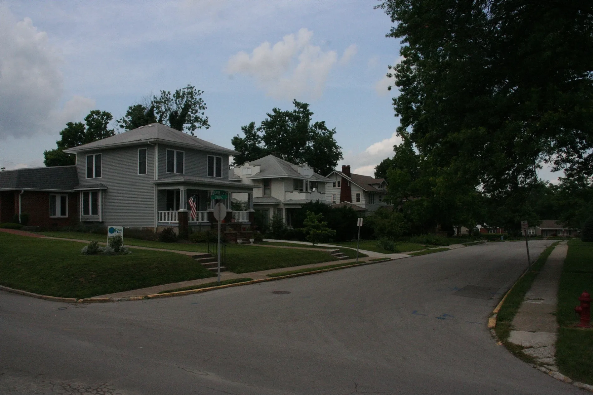
James Street in Wilmore, Kentucky
James Street in Wilmore is a residential street. It runs in a northeast-southwest direction and ends at West Linden Street, while the other end is a cul-de-sac. James Street also exists in Barren County, Estill County, Grayson County, Greenup County and Knox County.
- Road Type
- residential street
- Route
- northeast-southwest
Image
Clothing stores
Florists
Fast food restaurants
Banks
Attractions
Community centers
Variety stores
Supermarkets
Convenience stores
Auto repair shops
Streets nearby
Roger Swallows Way300 ft
West Linden Street550 ft
Jewell Walk0.1 mi
West Main Street0.1 mi
Johnson/Trustees Cul-de-sacJohnson/Trustees Turnaround
0.2 mi
Phillips Court0.2 mi
Bethel Street0.2 mi
Linden Court0.2 mi
Johnson Alley0.2 mi
Johnson Court0.3 mi
Hendren Way0.3 mi
Cross Country Course0.3 mi
South Lexington Avenue0.4 mi
Lowry Lane0.4 mi
Pickett Drive0.4 mi
Antique stores nearby
Antique Center0.3 mi
Banks nearby
United Bank0.3 mi
Buildings nearby
Wilmore Utilities500 ft
WGM Student Center0.2 mi
Salvation Army Student Center0.2 mi
OMS Student Center0.2 mi
Fire stations nearby
Wilmore Fire Department0.1 mi
Hair salons nearby
Wade's Barbershop0.3 mi
Parks nearby
Reservoir Park0.1 mi
Kirkland Athletic Complex0.2 mi
Reasoner Green0.2 mi
Places of worship nearby
Mt. Freedom Baptist Church0.3 mi
Restaurants nearby
Great Wall0.3 mi
School buildings nearby
Providence High School0.3 mi
Sports fields nearby
Practice Field500 ft
Game Field0.1 mi
Upper Field0.1 mi
Intramural Field0.2 mi
Technical colleges nearby
Alumni House0.3 mi
Universities nearby
Miller Center for Communication Arts400 ft
Physical Plant450 ft
Hamman-Ray Science Center500 ft
Jameson Recital Hall0.1 mi
McCreless Fine Arts Center0.1 mi
Original Asbury Building0.1 mi
Trustees Hall0.1 mi
Johnson Hall0.2 mi
Corbitt Hall0.2 mi
The Luce Center0.2 mi
Student Center0.2 mi
Reasoner Hall0.2 mi
Kinlaw Library0.2 mi
University buildings nearby
Married Housing0.2 mi
Waters nearby
The Reservoir0.2 mi
 Public transit map Wilmore Legend
| Railway | |
| Bus | |
| Streetcar |
 Bicycle map Wilmore Legend
| Bike path | |
| Bike lane on roadway | |
| Cycling allowed on bus lane | |
| Bicycle street | |
| Open to cyclists | |
| Open to cyclists, good path | |
| Cycling prohibited | |
| Cobblestone |
| Long-distance bike route | (depending on scale) | |
| Long-distance bike route |
 Pedestrian map Wilmore Legend
| Path |
| Long-distance hiking trail | (depending on scale) | |
| Long-distance hiking trail | ||
| Pedestrians prohibited |