
City Park in New Orleans
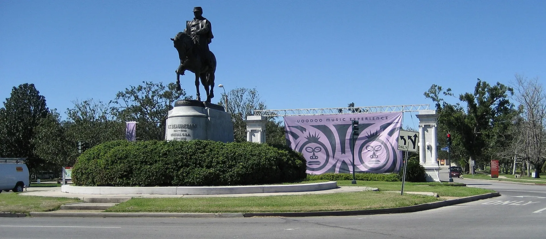
City Park in New Orleans is a park 🌐. City Park is located near Mirabeau Avenue. City Park also exists in Webster Parish and St. Mary Parish. Ⓦ.
- Leisure
- park
- Website
- http://neworleanscitypark.com
Image
Tourist information centers
Variety stores
Kindergartens
Museums
- Louisiana Children's Museum (opening hours: Wed–Sat 9:30–16:30; Sun 11:30–16:30; Mon–Tue closed, fee required, Web) at Henry Thomas Drive 15 – approx. 1.2 mi.
Fast food restaurants
Places of worship
Schools
Bakeries
Cafes
Fire stations
Streets nearby
Mirabeau AvenueBeacon Light Baptist Church of Haiti in New Orleans, Gentilly Woods, Beacon Light Missionary Baptist Church
0.1 mi
Bancroft Drive0.2 mi
Wisner TrailCity Park Map
0.2 mi
Croftway Court0.2 mi
Owens Boulevard0.2 mi
Granada Drive0.3 mi
Saint Bernard AvenueTabernacle of Christ Church, New Orleans Public Library - Nora Navra Branch
0.4 mi
Seville Drive0.4 mi
Wisner Boulevard0.4 mi
Riviera AvenueOak Park Presbyterian Church
0.4 mi
Filmore AvenueTrinity United Methodist Church, Domino's, Heavenly Sweets, Canseco's
0.4 mi
Park Island DriveDemourelles Island
0.4 mi
Cartier Avenue0.5 mi
Wellington Avenue0.5 mi
Encampment Street0.5 mi
Diagonal Drive0.5 mi
Kennon Avenue0.5 mi
Harrison AvenueLakeview, Saint Pauls Episcopal Church, Pentecost Baptist Church, Dominican Fathers of Saint Dominic Church
0.5 mi
Duplessis Street0.5 mi
Randolph Avenue0.5 mi
Westbrook Drive0.5 mi
Mandolin Street0.6 mi
Marjorie Lane0.6 mi
Alfred Street0.6 mi
Wakefield Place0.6 mi
Davey Street0.6 mi
Roneagle Way0.6 mi
Senate StreetGentilly Greater Harvest Baptist Church, Saint Bernard Church of God in Christ, Same Day Flower Delivery New Orleans, Capital One
0.6 mi
Mithra Street0.6 mi
Jeannie Marie Place0.6 mi
Gardena Drive0.6 mi
Caton StreetAutoZone, Hollywood Nails & Spa
0.6 mi
Rapides Drive0.6 mi
Buchanan StreetBrooks United Methodist Church
0.6 mi
Perlita StreetDollar General
0.7 mi
Jumonville StreetSaint Bernard Baptist Mission Church
0.7 mi
Mendez StreetNew Orleans Fire Department Engine 12, Saint Raphael School
0.7 mi
Harcourt Drive0.7 mi
Virginia Marie Street0.7 mi
Paula Street0.7 mi
Paris AvenueAdrian's Bakery, Holy Cross Middle School
0.7 mi
Charlton Drive0.7 mi
Sybil Street0.8 mi
King Drive0.8 mi
Construction sites nearby
Mirabeau Water Garden0.4 mi
Golf courses nearby
City Park Golf Course0.2 mi
Rivers nearby
Bayou St John0.4 mi
Stadiums nearby
Holy Cross Park0.7 mi
Other nearby
Park Island0.4 mi
| Year built | 1854 |
|---|---|
| Area | 5.3 km² |
| Located in | New Orleans |
| Country | United States |
 Public transit map New Orleans Legend
| Railway | |
| Bus | |
| Streetcar |
 Bicycle map New Orleans Legend
| Bike path | |
| Bike lane on roadway | |
| Cycling allowed on bus lane | |
| Bicycle street | |
| Open to cyclists | |
| Open to cyclists, good path | |
| Cycling prohibited | |
| Cobblestone |
| Long-distance bike route | (depending on scale) | |
| Long-distance bike route |
 Pedestrian map New Orleans Legend
| Path |
| Long-distance hiking trail | (depending on scale) | |
| Long-distance hiking trail | ||
| Pedestrians prohibited |