
Montgomery County, Maryland
Montgomery County is located in Maryland. The region is located on the bodies of water Potomac River and Patuxent River. About 1,040,116 people live here. Between 2011 and 2021, the population grew from 991,572 to 1,054,827. The region is at 139 meters above sea level. The region is divided into 21 Municipalities. The region was founded in 1776. The ZIP codes are 20810–20818, 20824–20825, 20827, 20830, 20832–20833. The dialing code is 301. The name originates from Richard Montgomery (Irish-born soldier) Montgomery County is county in Maryland, United States. More information at www.montgomerycountymd.gov.
Montgomery County – Facts
| Population | 1062061 |
|---|---|
| Area | 491.3 |
| Subregions | 21 |
| Named after | Richard Montgomery |
| Year built | 1776 |
| Elevation | 139 m |
| Located in | Maryland |
| Postal code | 20810–20818 |
| Country | United States |
| Body of water | Potomac River, Patuxent River, Rock Creek |
| Nickname | MoCo |
| Native name | Montgomery County |
| Official name | Montgomery County |
| Described by | Encyclopædia Britannica Online, Maryland Manual |
| Website | https://www.montgomerycountymd.gov/ |
Data source: Wikidata (CC0)
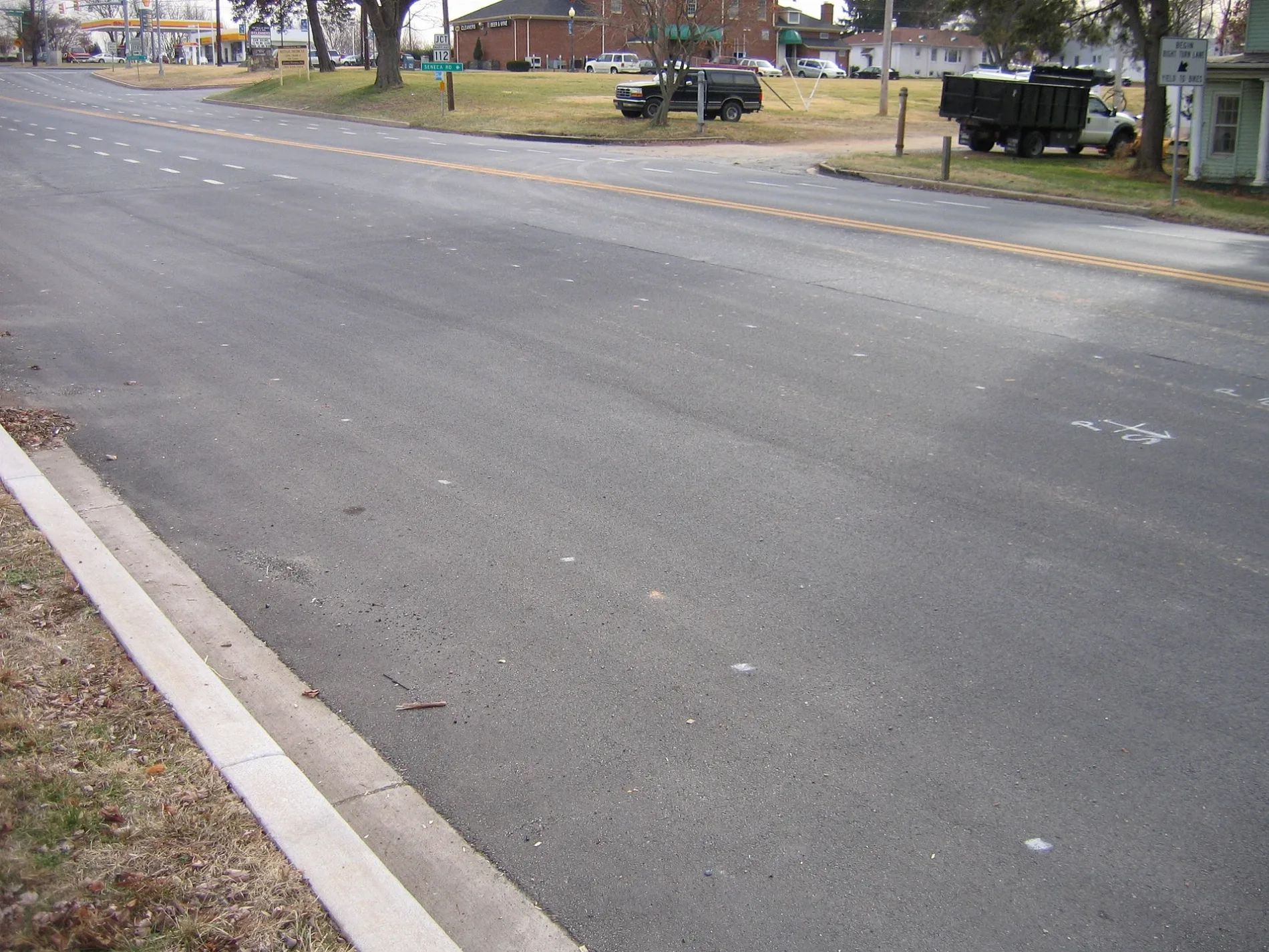
Photos from Montgomery County
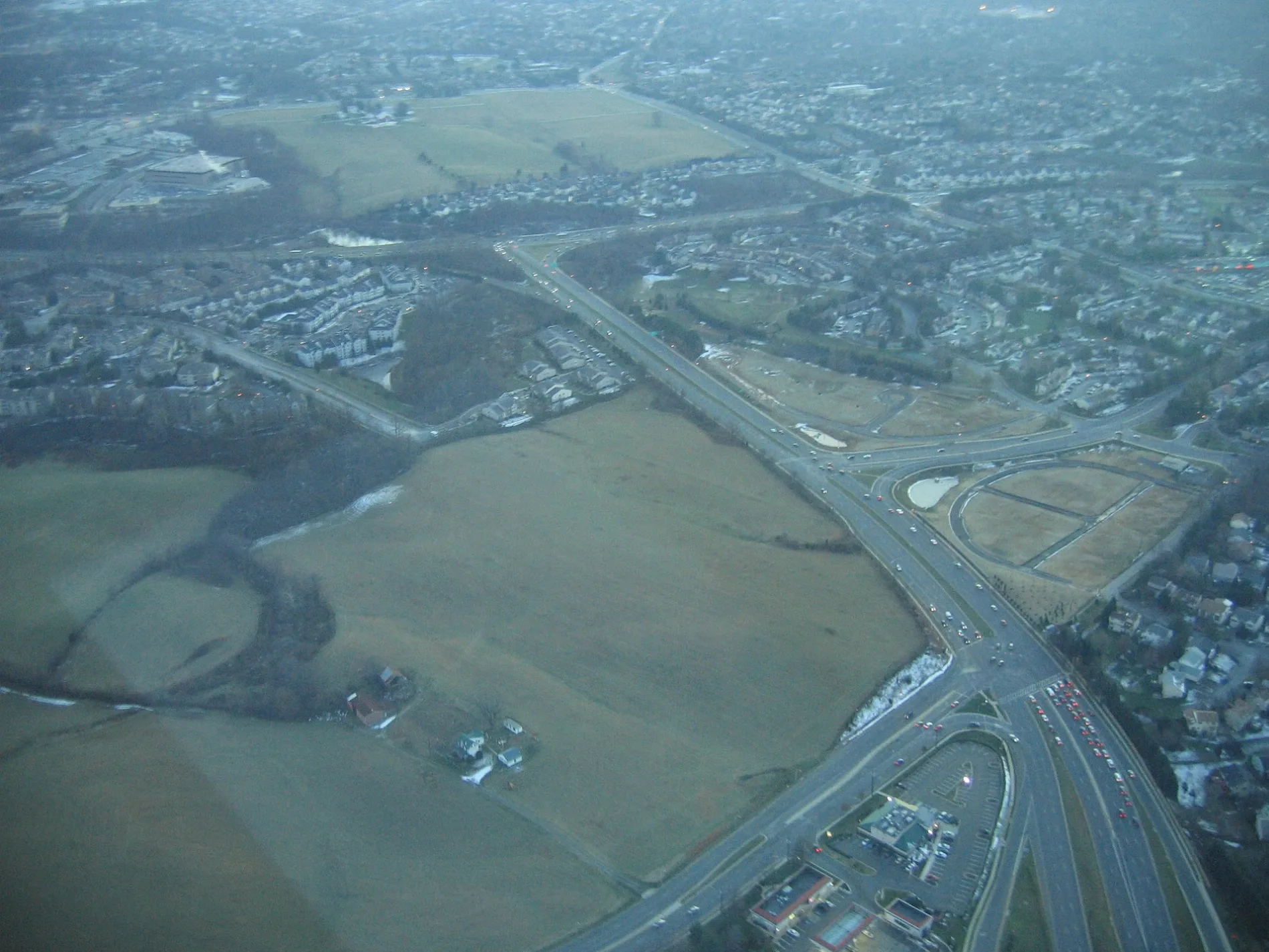
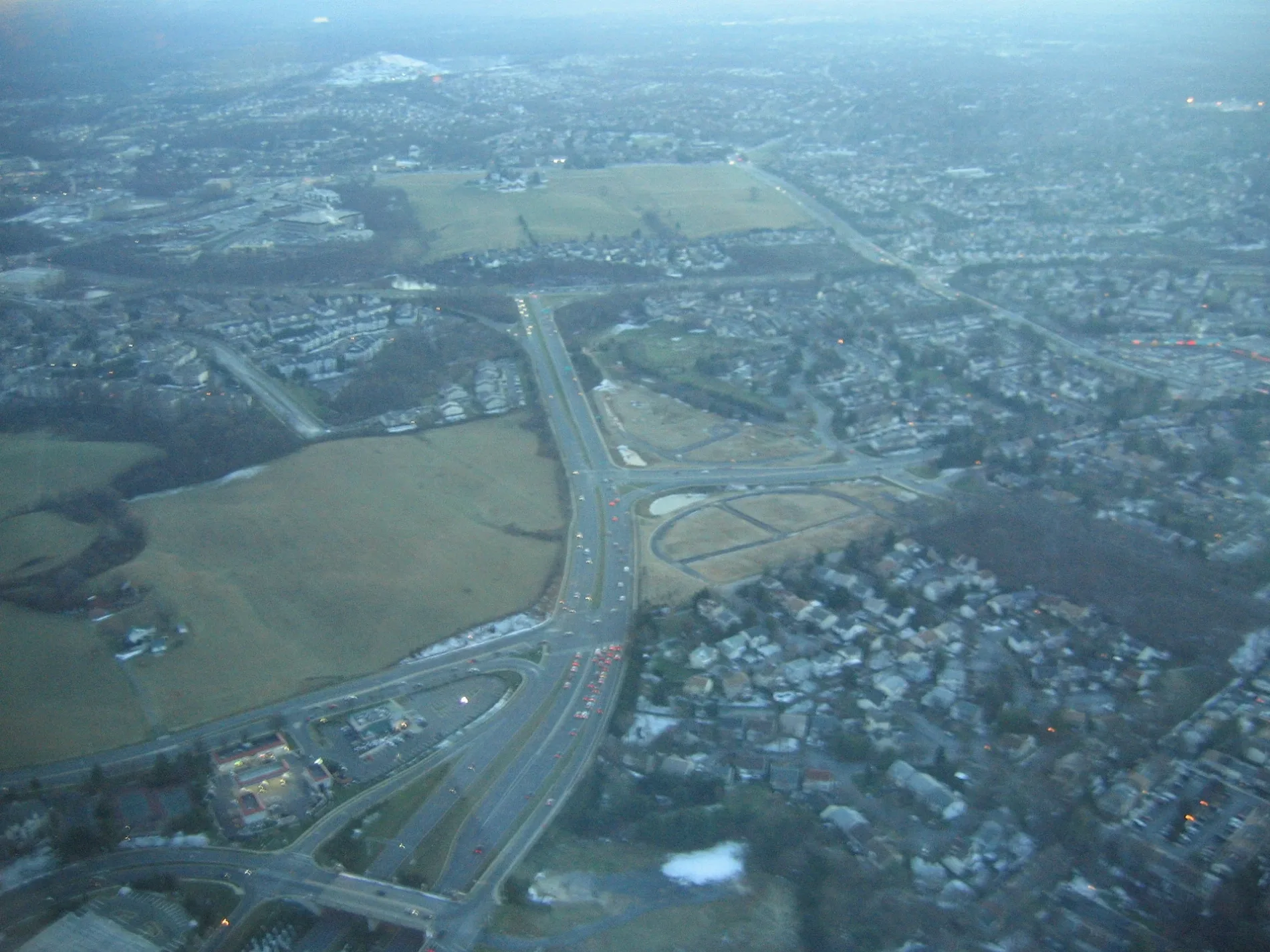
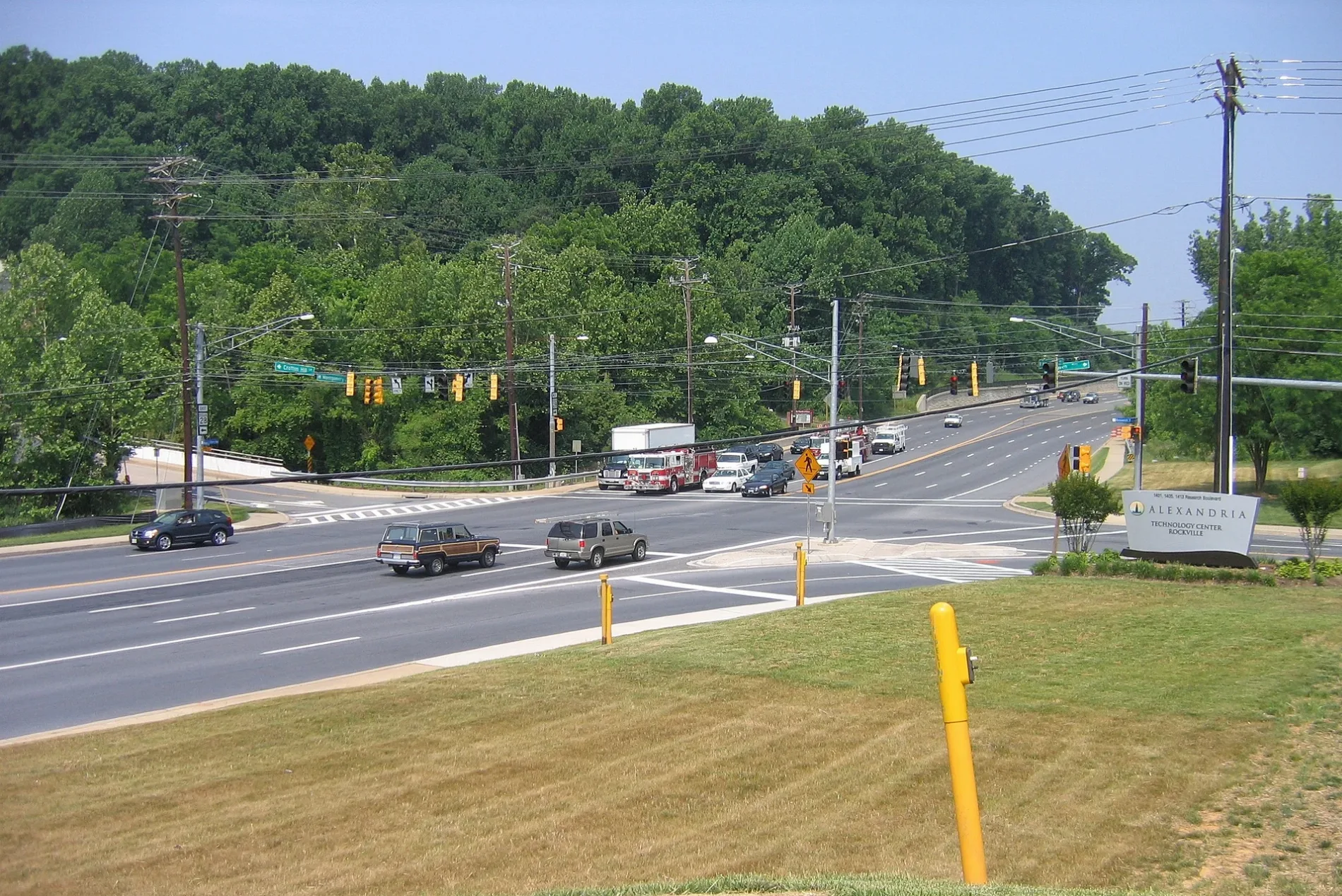
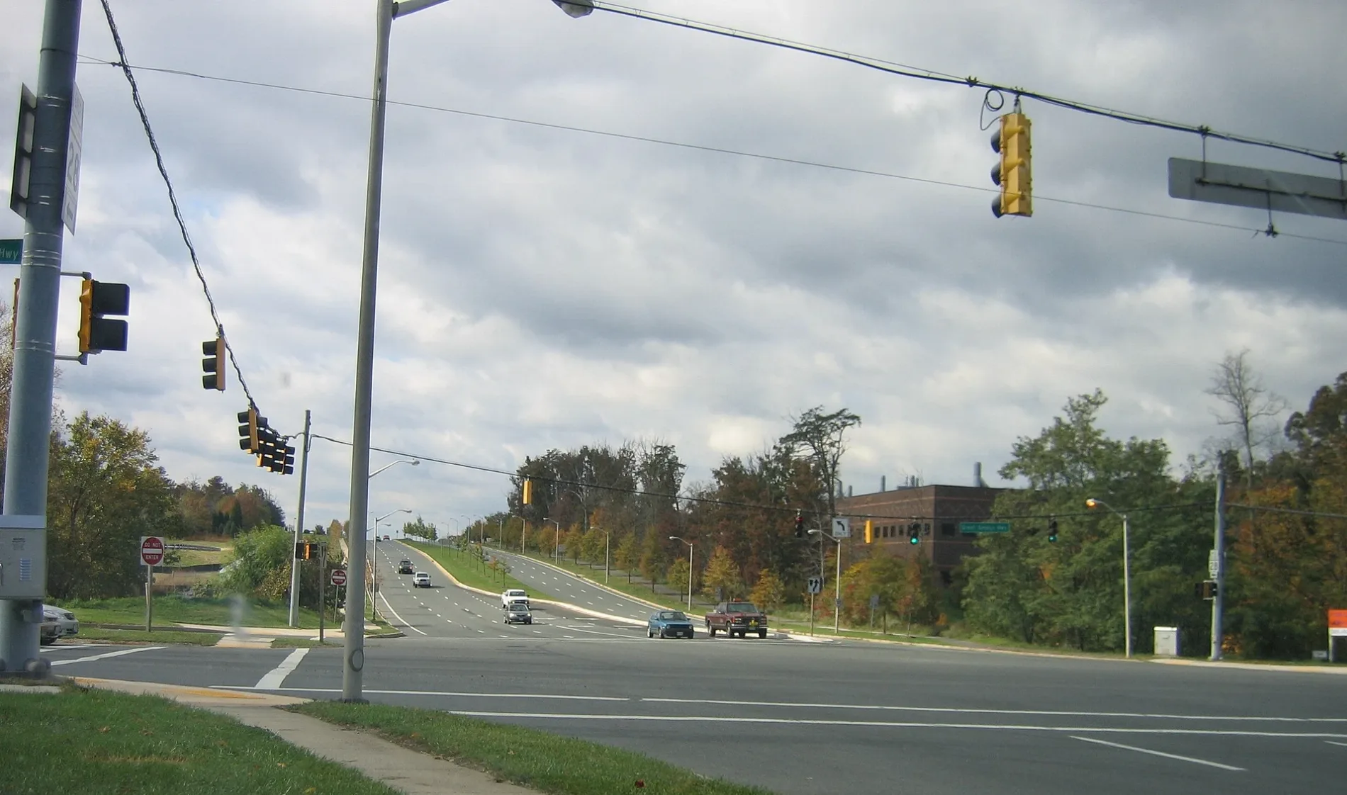
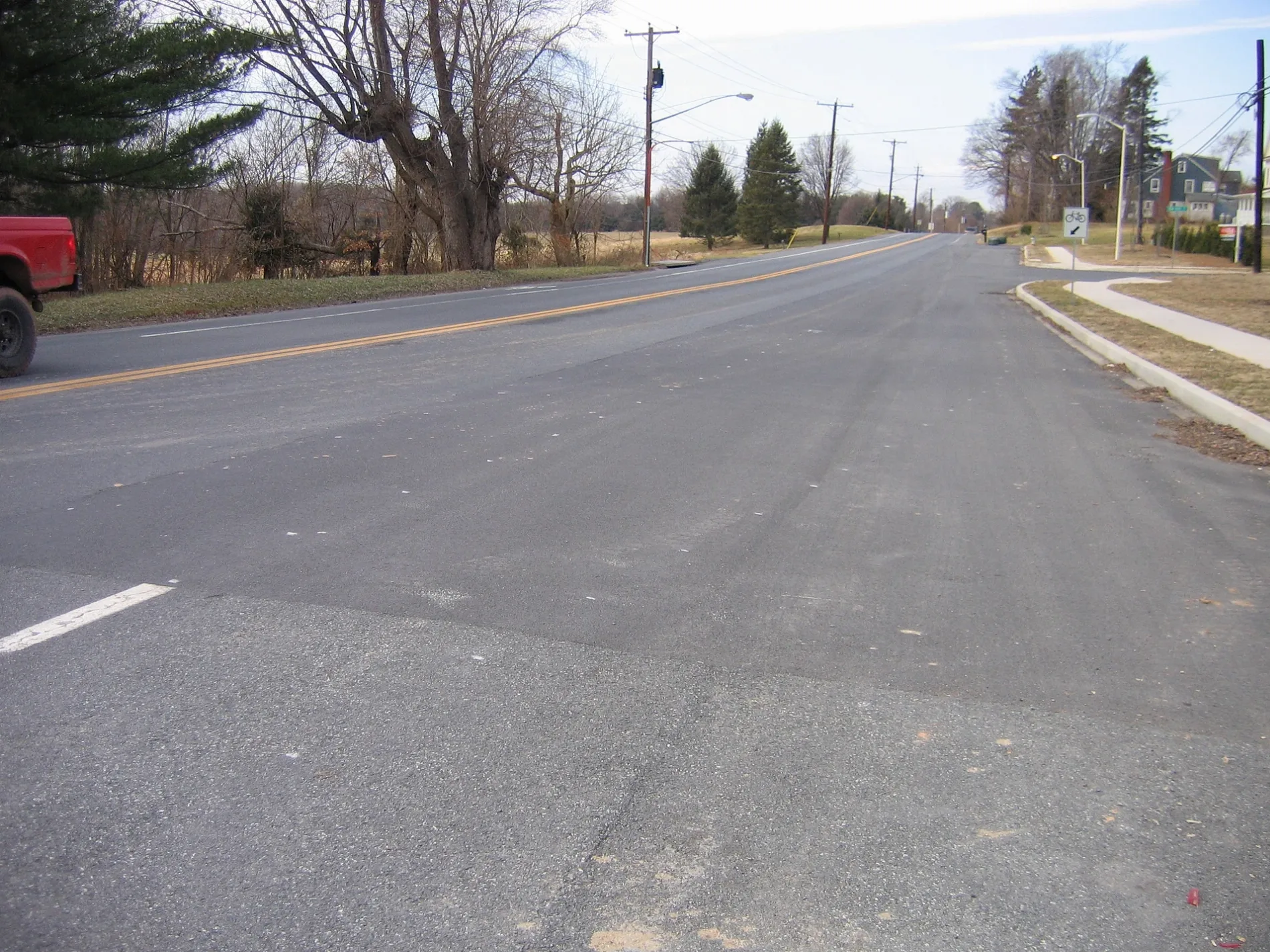
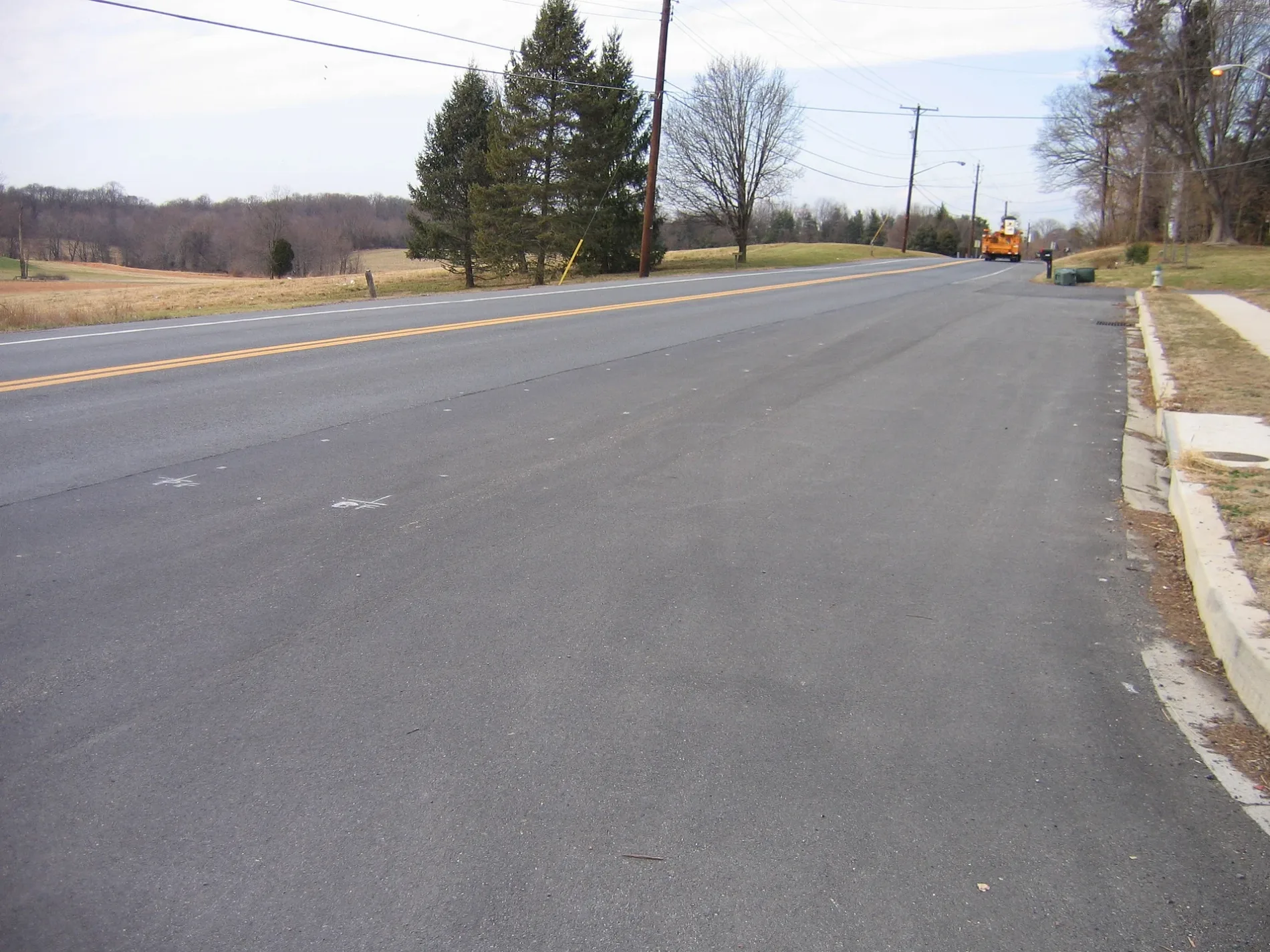
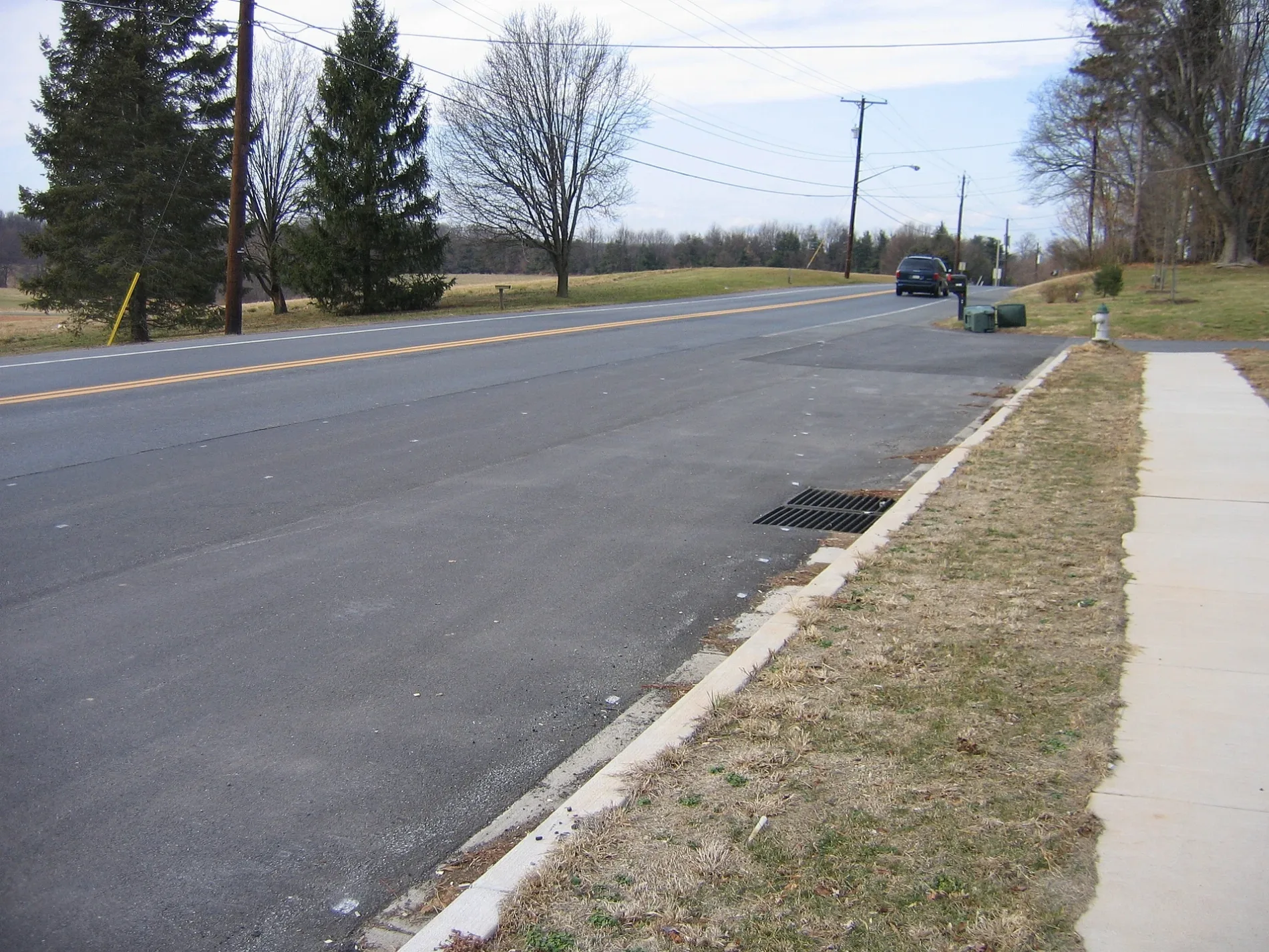
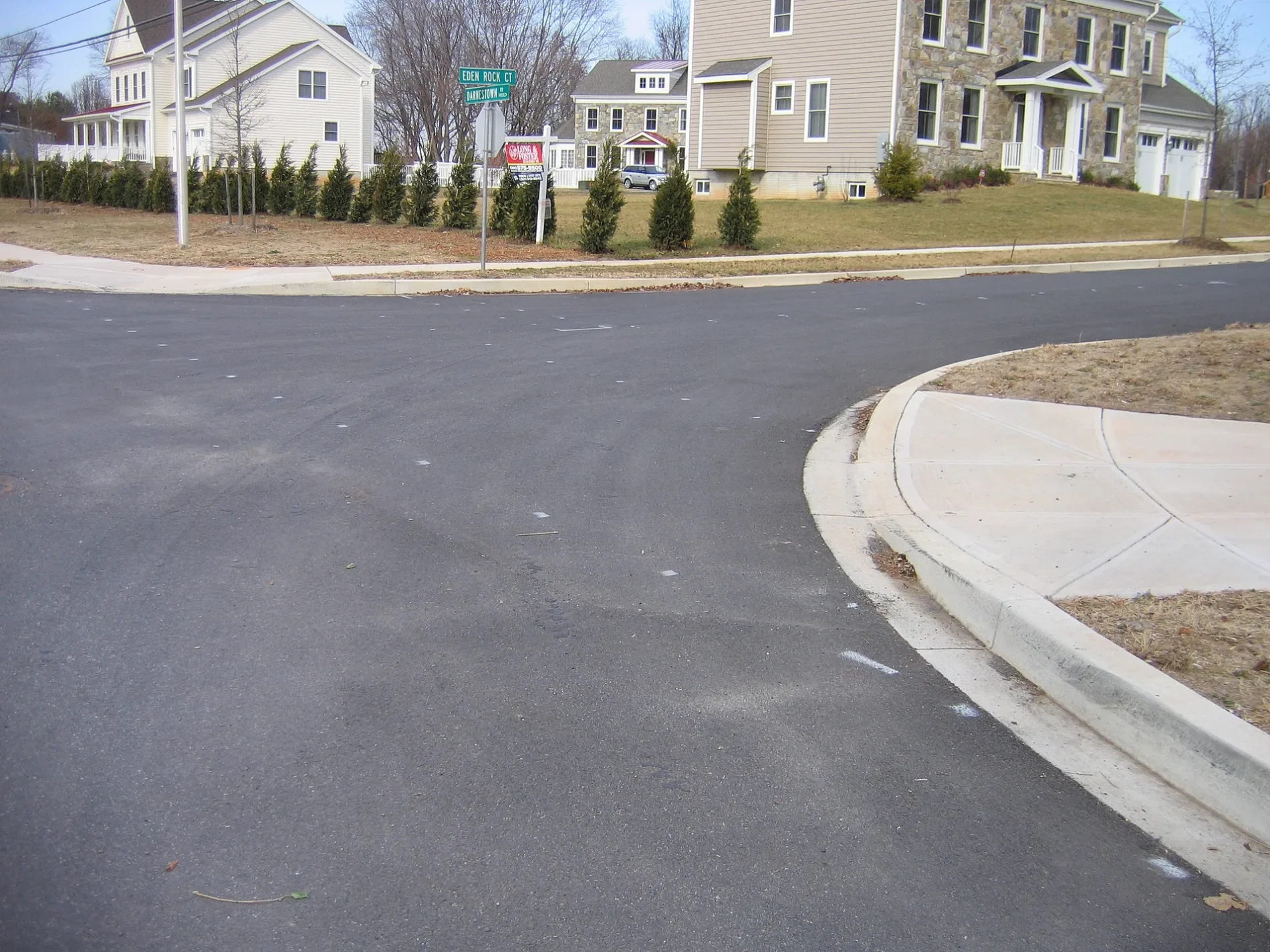
Municipalities in Montgomery County, Maryland
 Public transit map Montgomery County Legend
 | Railway | |
| Bus | |
| Streetcar |
 Bicycle map Montgomery County Legend
 | Bike path | |
| Bike lane on roadway | |
| Cycling allowed on bus lane | |
| Bicycle street | |
| Open to cyclists | |
| Open to cyclists, good path | |
| Cycling prohibited | |
| Cobblestone |
| Long-distance bike route | (depending on scale) | |
| Long-distance bike route |
 Pedestrian map Montgomery County Legend
 | Path |
| Long-distance hiking trail | (depending on scale) | |
| Long-distance hiking trail | ||
| Pedestrians prohibited |