
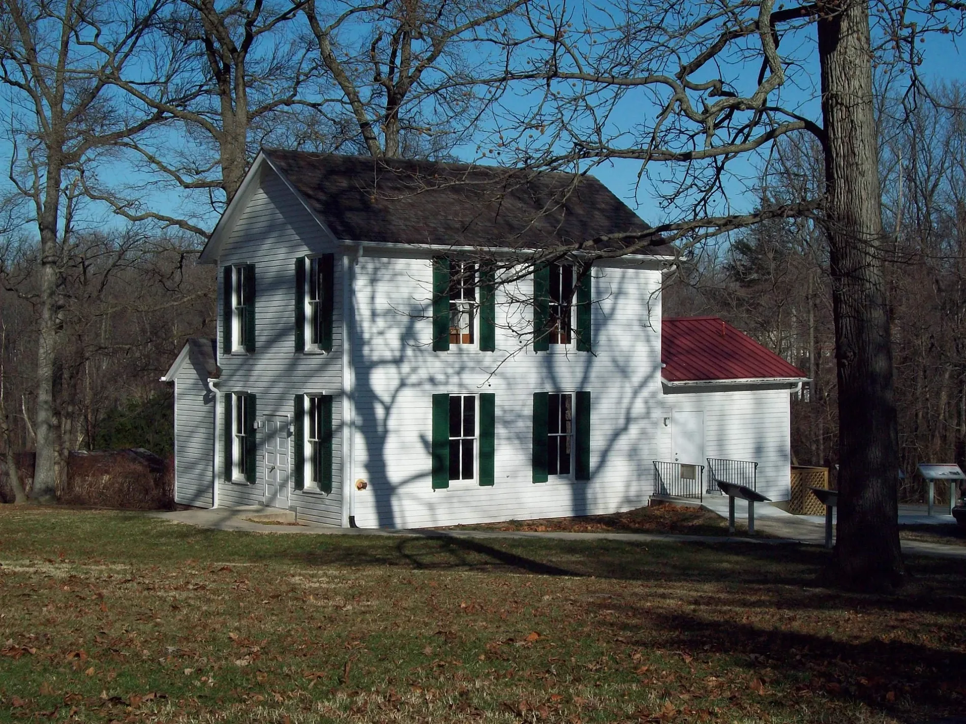
Abraham Hall in Beltsville, MD 20705
Abraham Hall in Beltsville, MD 20705 (Prince George's County) is a building, Old Muirkirk Road 7612 (20705). Ⓦ.
- House Number
- 7612
- Postal Code
- 20705
- Street
- Old Muirkirk Road
- Building Type
- building
Image
Streets nearby
Old Muirkirk RoadMuirkirk, Queens Chapel United Methodist Church, Queens Chapel Cemetery
350 ft
Blue Ponds Terrace0.2 mi
Breyer Place0.2 mi
Stanmore Drive0.2 mi
Cailen Court0.3 mi
Belmar Court0.3 mi
Longwood Drive0.3 mi
Hogarth Court0.3 mi
Innis Court0.3 mi
Pawling Way0.3 mi
Shrewsbury Court0.3 mi
Trotwood Court0.3 mi
Burdette Way0.3 mi
Sullivan Court0.4 mi
Lockman Lane0.4 mi
Cedarhurst Drive0.4 mi
Loughborough Place0.4 mi
Lomax Lane0.4 mi
Muirkirk Road0.4 mi
Blue Point Avenue0.4 mi
Montpelier DriveFaith Baptist Church of South Laurel, Faith Baptist Christian School
0.4 mi
Ellington Drive0.4 mi
Weathersfield Place0.5 mi
Silver Thorn Way0.5 mi
Marble Stone Lane0.5 mi
Maisson Ridge Circle0.5 mi
Meadowfield Way0.5 mi
Barrberry Lane0.5 mi
Brickyard Station Drive0.5 mi
Adobe Alley0.5 mi
Brick Kiln Circle0.5 mi
Alloway Lane0.5 mi
Gessford Court0.5 mi
Brickyard Boulevard0.5 mi
Rustic Rock Lane0.5 mi
Honey Locust Way0.5 mi
Calico Rock Landing0.6 mi
Brick Clay Lane0.6 mi
Wythe Alley0.6 mi
Rowlock Alley0.6 mi
Masonry Alley0.6 mi
Pigment Street0.6 mi
Faigle Road0.6 mi
Conway Road0.7 mi
Grant Road0.7 mi
Nature reserves nearby
Blue Ponds Park0.1 mi
Parks nearby
Muirkirk West Neighborhood Park0.1 mi
Muirkirk South Community Park0.4 mi
Waters nearby
Blue Pond0.3 mi
| Year built | 1889 |
|---|---|
| Operator | Prince George's County Department of Parks and Recreation |
| Owned by | Maryland-National Capital Park and Planning Commission |
| Heritage designation | National Register of Historic Places listed place |
| Located in | Prince George's County |
| Country | United States |
| Website | http://www.pgparks.com/3004/Abraham-Hall |
| Location | Beltsville |
 Public transit map Prince George's County Legend
| Railway | |
| Bus | |
| Streetcar |
 Bicycle map Prince George's County Legend
| Bike path | |
| Bike lane on roadway | |
| Cycling allowed on bus lane | |
| Bicycle street | |
| Open to cyclists | |
| Open to cyclists, good path | |
| Cycling prohibited | |
| Cobblestone |
| Long-distance bike route | (depending on scale) | |
| Long-distance bike route |
 Pedestrian map Prince George's County Legend
| Path |
| Long-distance hiking trail | (depending on scale) | |
| Long-distance hiking trail | ||
| Pedestrians prohibited |