
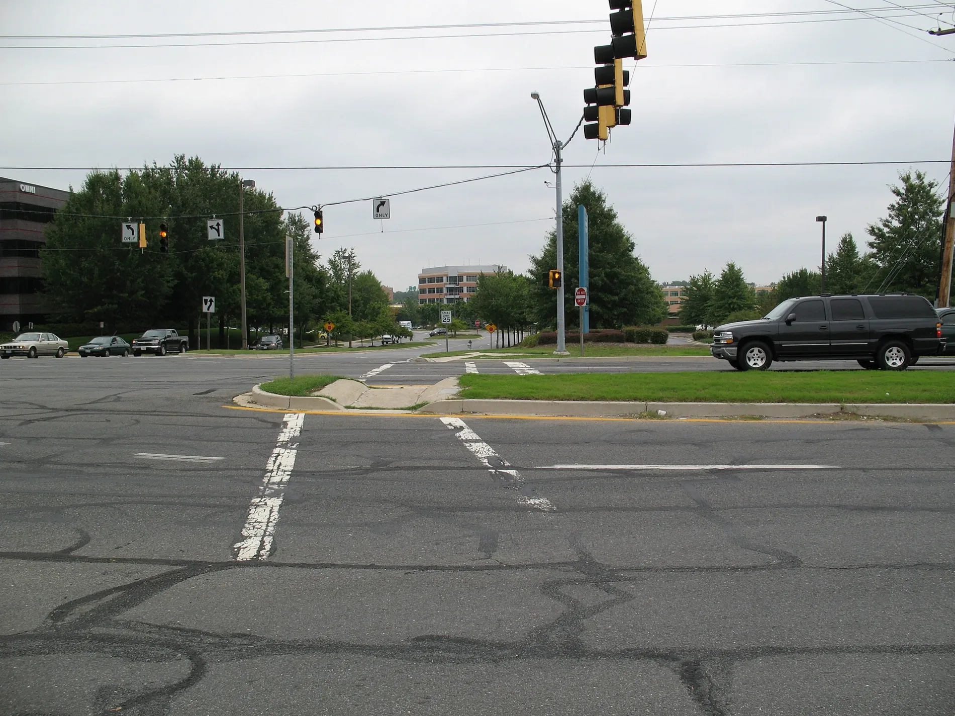
Elkhorn Lane in Bowie, Maryland
Elkhorn Lane in Bowie is a residential street. It runs in a southeast-northwest direction starting from Elysian Lane and crosses Elkhorn Circle and Europe Lane. It ends in a cul-de-sac.
- Road Type
- residential street
- Route
- southeast-northwest
Image
Convenience stores
Banks
Car rentals
Electronics stores
Pet stores
Bus stops
Department stores
Auto repair shops
Fast food restaurants
Auto parts stores
Mail depots
Stationery stores
Furniture stores
Streets nearby
Elan Court350 ft
Elkhorn Circle400 ft
Europe Lane550 ft
Eves Court0.1 mi
Elysian Lane0.1 mi
Ettrick Court0.1 mi
Ellipse Terrace0.1 mi
Collington Road0.2 mi
Eider Street0.2 mi
Enders Terrace0.2 mi
Elmcrest Terrace0.2 mi
Elmcrest Lane0.2 mi
Eastview Lane0.2 mi
Evensong Lane0.2 mi
Mitchellville RoadMitchellville Rd at Arbor Hill Ln, Mitchellville Rd at N Platte Dr, Mitchellville Rd at Alameda Dr, Mitchellville Rd at Excalibur Rd, Mitchellville Rd at Atlantis Dr, Taco Bell, Mitchellville Rd at Harbour Wy, Mitchellville Rd at Heritage Bl, National Capital Radio & Television Museum, Mitchellville Rd at Fred Robinson Wy, Mitchellville Rd at Northview Dr, Mitchellville Rd at N Oak Ct, Mitchellville Rd at Nemo Ct, Mitchellville Rd at Lake Village Manor, Mitchellville Rd at Alderwood Ln, Mitchellville Rd at Piller Ln, Mitchellville Rd at Mt Oak Rd
0.2 mi
Estevez Court0.2 mi
Heritage BoulevardEnterprise
0.2 mi
Eight Penny Lane0.2 mi
Eldbridge Terrace0.2 mi
Eaves Lane0.2 mi
Eager Terrace0.2 mi
Eldbridge Lane0.2 mi
Erma Terrace0.2 mi
Enders Lane0.2 mi
Eastview Court0.3 mi
Elder Oaks Boulevard0.3 mi
Eastview Terrace0.3 mi
North East Crain Highway0.3 mi
Elegant Court0.3 mi
Excalibur Road0.4 mi
Excalibur Court0.4 mi
Eastham Court0.4 mi
Edenwood Drive0.4 mi
North West Crain HighwayJiffy Lube, DARCARS Honda, Ourisman Hyundai, Whip Clean, 7-Eleven
0.4 mi
Essington Court0.4 mi
Eastham Lane0.5 mi
Eastlawn Court0.5 mi
Embassy Lane0.5 mi
Ellerton Road0.5 mi
Evans Mill Court0.5 mi
Buildings nearby
On The Border0.1 mi
Department stores nearby
Walmart0.5 mi
Fast food restaurants nearby
Raising Cane's0.2 mi
Gas stations nearby
Xtra0.2 mi
Hardware stores nearby
Lowe's0.1 mi
Liquor stores nearby
Fine Wine & Spirit Shoppe0.2 mi
Restaurants nearby
Rip's Country Inn0.2 mi
Retail areas nearby
Collington Plaza0.3 mi
Supermarkets nearby
Giant0.4 mi
Public transit map Bowie Legend
| Railway | |
| Bus | |
| Streetcar |
Bicycle map Bowie Legend
| Bike path | |
| Bike lane on roadway | |
| Cycling allowed on bus lane | |
| Bicycle street | |
| Open to cyclists | |
| Open to cyclists, good path | |
| Cycling prohibited | |
| Cobblestone |
| Long-distance bike route | (depending on scale) | |
| Long-distance bike route |
Pedestrian map Bowie Legend
| Path |
| Long-distance hiking trail | (depending on scale) | |
| Long-distance hiking trail | ||
| Pedestrians prohibited |