
Fairlawn Avenue in Laurel, Maryland
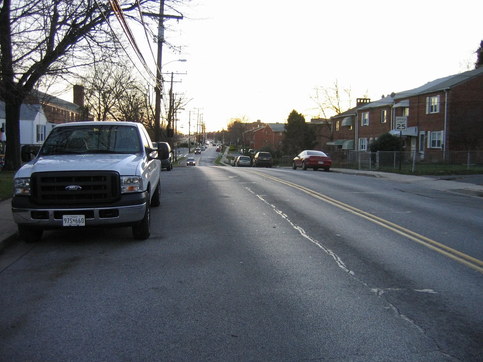
Fairlawn Avenue in Laurel is an asphalted service road. It runs in a northeast-southwest direction starting from Carroll Avenue and crosses Talbott Avenue, Compton Avenue and Gorman Avenue and ends at Thomas Drive. Nearby you can find among others 4 restaurants, a department store, a cell phone store and a shoe store. The nearest bus stop is Gorman Ave / Thomas Dr (about 50 m away).
- Road Type
- residential street
- Route
- northeast-southwest
Image
Variety stores
Fast food restaurants
Opticians
Restaurants
Clothing stores
Beauty salons
Department stores
Cell phone stores
Shoe stores
Auto parts stores
Gift shops
Hair salons
Streets nearby
Thomas Drive350 ft
Marshall AvenueLaurel College Center, Firehouse Subs, Quickway Japanese Hibachi, Marshall Ave / Laurel College Center (Westbound)
0.1 mi
Armstrong AvenuePalacio de Peru, Tropical Smoothie Cafe, Love Life Cafe
0.2 mi
Baltimore Street0.2 mi
Bowie RoadEl Toro Supermarket, Sherwin-Williams
0.2 mi
Washington BoulevardWalgreens, PM Pediatrics, Corazon Latino Hail Salon, Chase, Crown, All Tune and Lube Total Car Care, Washington Blvd / Laurel Ave, TD Lounge, Washington Boulevard and Prince George Street, Batteries Plus Bulbs
0.2 mi
2nd Street2nd St / Laurel Ave, 2 St+Laurel Av, 2nd St / Main St, Laurel, Pasta Plus, US 1 @ Little Montgomery Ave
0.2 mi
Talbott AvenueTalbott Av at 4 St, Talbott Av at Washington Bl
0.2 mi
Baltimore AvenueCricket Wireless, McCormick Paints, AT&T
0.3 mi
Laurel Avenue0.3 mi
Gorman AvenueGorman Av at 4 St, Gorman Ave / Thomas Dr, Gorman Av at Thomas Dr, CVS Pharmacy, Alma Latina Restaurant, Gorman Av at 8 St
0.3 mi
Staggers Road0.3 mi
Lafayette AvenueLaurel, Christian Auto Body
0.3 mi
Morton Place0.4 mi
Auto parts stores nearby
AutoZone0.3 mi
Auto repair shops nearby
Midas0.3 mi
Banks nearby
M&T Bank0.2 mi
Bars nearby
Laurel Station Bar & Grill0.3 mi
Buildings nearby
Elizabeth House400 ft
Toucan Taco500 ft
AMF Laurel Lanes0.3 mi
Laurel Volunteer Rescue Squad Station 490.4 mi
Car dealerships nearby
AutoNation Chevrolet Laurel0.3 mi
Kia Laurel0.3 mi
AutoNation0.3 mi
Car washes nearby
Laurel Car Wash0.2 mi
Prestige Car Wash0.3 mi
Convenience stores nearby
APlus0.2 mi
Drugstores nearby
CVS Pharmacy0.2 mi
Walgreens0.2 mi
Fast food restaurants nearby
Pollo Campero0.1 mi
Panda Express0.1 mi
Five Guys0.2 mi
Arby's0.2 mi
Popeyes0.2 mi
Dunkin'0.3 mi
Funeral homes nearby
Donaldson Funeral Homes0.2 mi
Gas stations nearby
Exxon0.1 mi
Shell0.1 mi
Sunoco0.2 mi
Express Fuel0.2 mi
Railways nearby
Capital Subdivision0.4 mi
Restaurants nearby
IHOP0.2 mi
Wenny's0.2 mi
Variedades El Toro0.2 mi
Retail areas nearby
Laurel Shopping Center0.1 mi
Gorman Plaza0.2 mi
Crossroads of Laurel0.3 mi
Secondhand stores nearby
Red White & Blue0.3 mi
Public transit map Laurel Legend
| Railway | |
| Bus | |
| Streetcar |
Bicycle map Laurel Legend
| Bike path | |
| Bike lane on roadway | |
| Cycling allowed on bus lane | |
| Bicycle street | |
| Open to cyclists | |
| Open to cyclists, good path | |
| Cycling prohibited | |
| Cobblestone |
| Long-distance bike route | (depending on scale) | |
| Long-distance bike route |
Pedestrian map Laurel Legend
| Path |
| Long-distance hiking trail | (depending on scale) | |
| Long-distance hiking trail | ||
| Pedestrians prohibited |