
Boardwalk in Saint Michaels, Maryland
Boardwalk in Saint Michaels is a footpath and it runs in a Northwest direction starting from Mill Street and ends in a cul-de-sac. Nearby there is an event venue. Boardwalk also exists in Worcester County.
- Road Type
- footpath
- Route
- southeast-northwest
Image
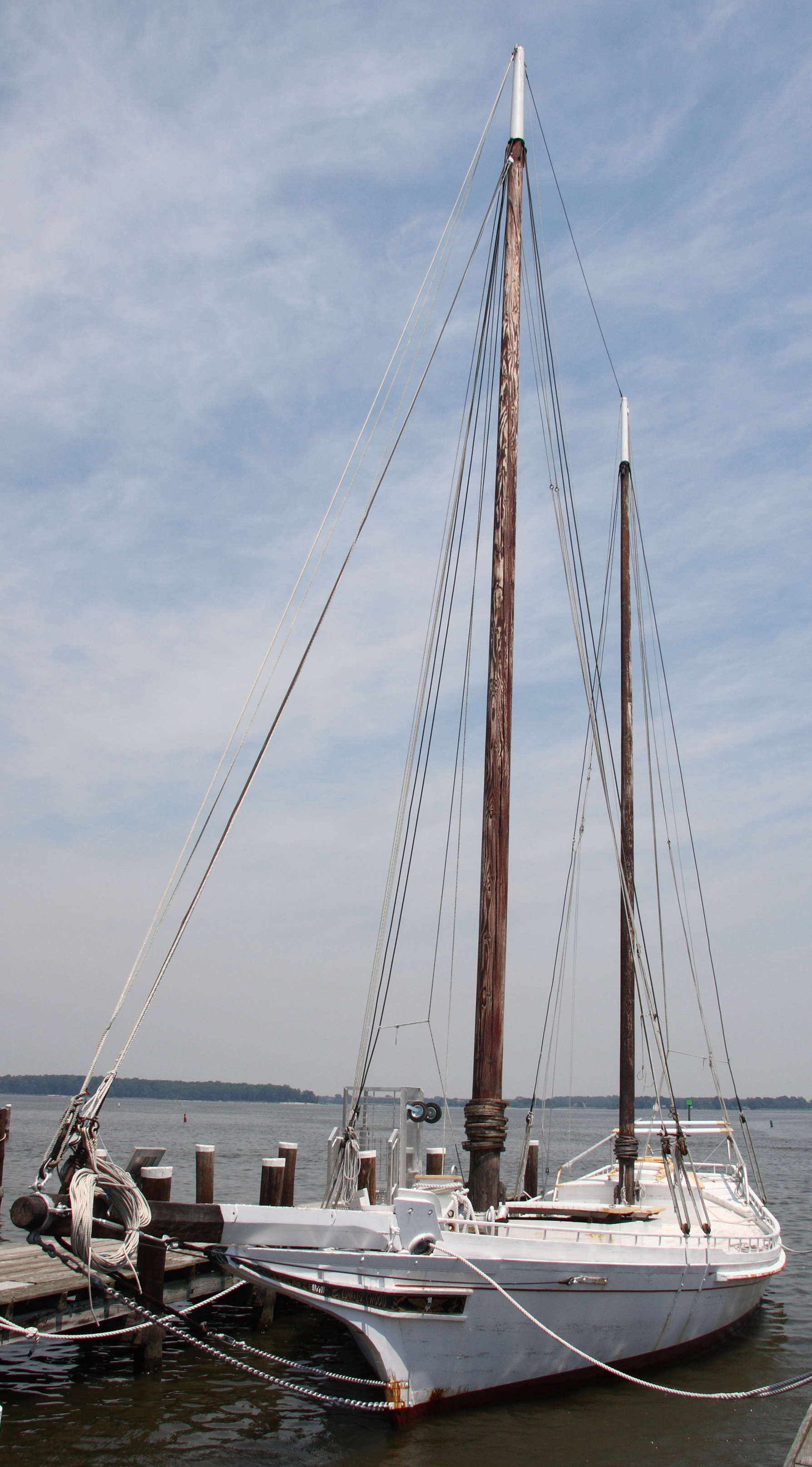
Event venues
Streets nearby
Burns Street300 ft
Mill StreetSt. Michael's Info Center, Corah's Corner
350 ft
Cherry StreetSaint Michaels Town Hall, Crab Claw Restaurant, Shipyard Store
0.1 mi
Honeymoon Bridge0.1 mi
Perry Cabin Lane0.1 mi
Cedar Street0.2 mi
Locust Street0.2 mi
Y Alley0.2 mi
Green Street0.3 mi
North Harbor Road0.3 mi
Water Street0.3 mi
Douglass LaneSaint Michael Church of God in Christ
0.3 mi
West Harbor Road0.4 mi
Bandstands nearby
Tolchester Beach Bandstand500 ft
Buildings nearby
Oystering on the Chesapeake50 ft
Waterman's Wharf100 ft
Changing Exhibitions200 ft
Log House250 ft
Craig Fuller & Diane Terpeluk Theater350 ft
Welcome Center350 ft
Bay History/Model Guild400 ft
Small Boat Shed450 ft
Corn Crib450 ft
Education Workshop500 ft
Coulbourne & Jewett Education Center500 ft
Point Lookout Bell Tower550 ft
At Play on the Bay0.1 mi
1879 Hooper Straight Lighthouse0.1 mi
Working Shipyard0.1 mi
Norman & Ellen Plummer Center for Museum Collections0.2 mi
Cabins nearby
Fishing Shanty350 ft
Commercial buildings nearby
St. Michaels Marina Ship Store0.2 mi
Gatehouses nearby
South Entrance500 ft
Grasslands nearby
Fogg's Landing150 ft
Navy Point550 ft
Hotels nearby
Saint Michaels Harbour Inn, Marina & Spa0.2 mi
Houses nearby
Mitchell House200 ft
Dorchester House350 ft
Higgins House400 ft
Eagle House400 ft
Dodson House450 ft
Marinas nearby
Chesapeake Bay Maritime Museum Marina150 ft
Inn at Perry Cabin0.1 mi
Higgins Yacht Yard and Marina0.2 mi
St. Michaels Marina0.2 mi
Saint Michaels Harbour Inn, Marina and Spa0.2 mi
Parks nearby
Hollis Park0.1 mi
Muskrat Park0.2 mi
Playgrounds nearby
Thor0.1 mi
Public transit map Saint Michaels Legend
| Railway | |
| Bus | |
| Streetcar |
Bicycle map Saint Michaels Legend
| Bike path | |
| Bike lane on roadway | |
| Cycling allowed on bus lane | |
| Bicycle street | |
| Open to cyclists | |
| Open to cyclists, good path | |
| Cycling prohibited | |
| Cobblestone |
| Long-distance bike route | (depending on scale) | |
| Long-distance bike route |
Pedestrian map Saint Michaels Legend
| Path |
| Long-distance hiking trail | (depending on scale) | |
| Long-distance hiking trail | ||
| Pedestrians prohibited |