
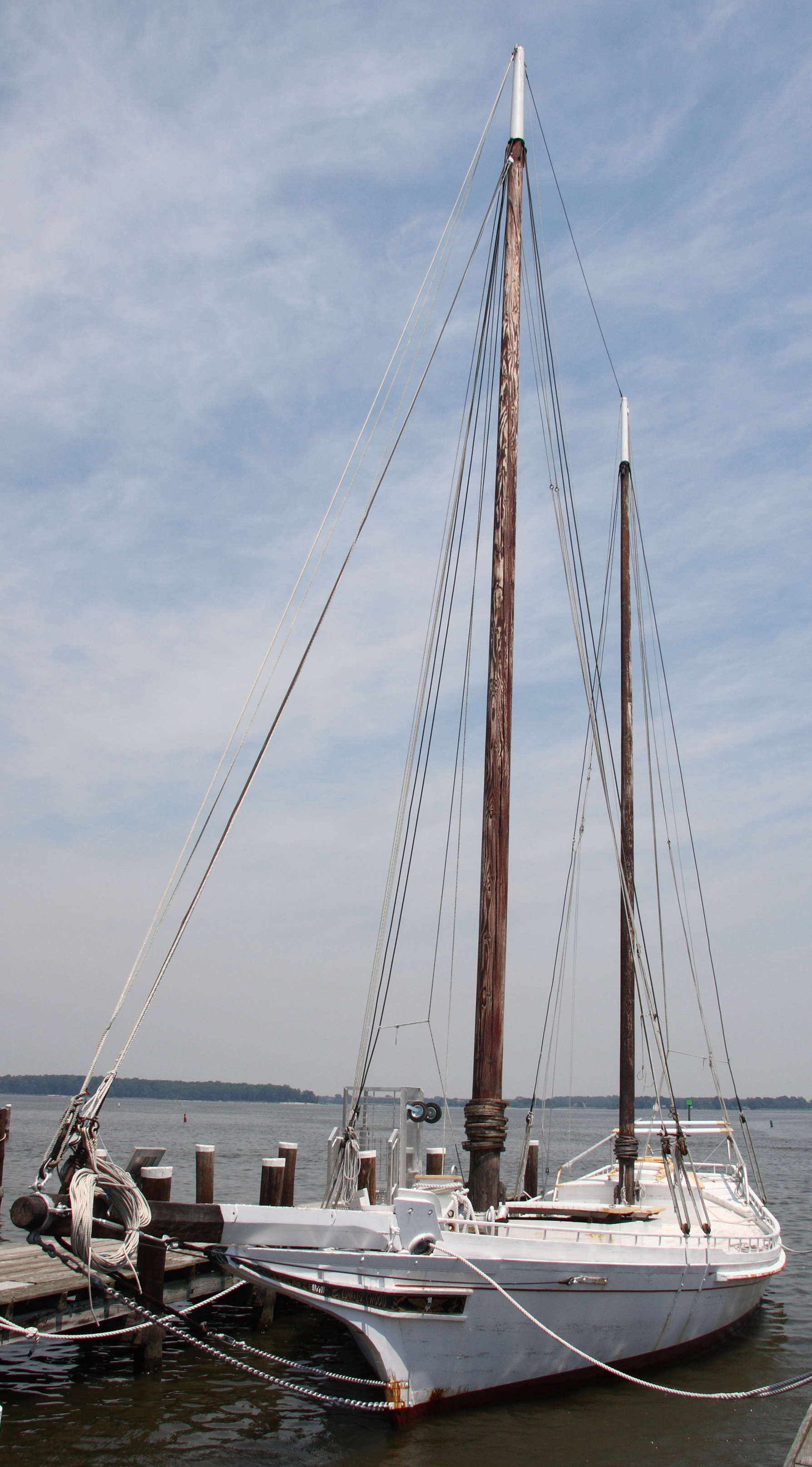
Tilghman Island Drawbridge in Saint Michaels, Maryland
Tilghman Island Drawbridge in Saint Michaels is an attraction and crosses a bridge. Tilghman Island Drawbridge is also known as Knapps Narrows Bridge. Tilghman Island Drawbridge is located near North Street.
- Road Type
- secondary road
- Alternate Name
- Knapps Narrows Bridge
- Tourism
- attraction
- Route
- north-south
Image
Museums
Antique stores
Ice cream shops
Secondhand stores
Cafes
Bars
Restaurants
Town halls
Laundries
Places of worship
Gift shops
Tourist information centers
Bookstores
Event venues
Schools
Streets nearby
Saint Micheals Road300 ft
North Talbot StreetBig Al's Market, Saint Michaels, Sea Captain's Cottage Antiques and Shore Decor, Book Hounds, Justine's Ice Cream Parlor
350 ft
Spinnaker Lane400 ft
Perry Cabin Lane500 ft
North StreetTrinity African Methodist Episcopal Zion Church
0.1 mi
Dodson Avenue0.1 mi
Trusty Street0.1 mi
Griffin Drive0.1 mi
Cedar Street0.1 mi
Watkins Lane0.2 mi
Michell Street0.2 mi
Honeymoon Bridge0.2 mi
South Fremont StreetUnion United Methodist Church
0.2 mi
Y Alley0.2 mi
Webb Lane0.2 mi
Perry Street0.2 mi
Carpenter StreetCarpenter Street Saloon
0.2 mi
Carpenter AlleyLimoncello, Sprout
0.2 mi
Locust Street0.2 mi
North Talbot Road0.2 mi
Lee Street0.2 mi
Conner Street0.2 mi
Chesapeake Avenue0.2 mi
Railroad AvenueTreasure Cove Thrift Shop
0.2 mi
Glory Avenue0.2 mi
Brooks Lane0.3 mi
Willow StreetChrist Church, St. Michaels Parish
0.3 mi
Green Street0.3 mi
Miles Avenue0.3 mi
Church Street0.3 mi
Canton Street0.3 mi
Allotment gardens nearby
St. Michaels Community Garden0.2 mi
Buildings nearby
Norman & Ellen Plummer Center for Museum Collections550 ft
Welcome Center0.1 mi
Log House0.1 mi
Long & Foster0.2 mi
Education Workshop0.2 mi
Cafes nearby
The Blue Crab0.2 mi
Delis nearby
Olivins500 ft
Guest houses nearby
Five Gables Inn & Spa400 ft
Houses nearby
Mitchell House0.2 mi
Libraries nearby
Talbot County Free Library Saint Michaels Branch0.2 mi
Parks nearby
Frederick Douglass Park550 ft
Hollis Park0.2 mi
Wilson Reading Garden0.2 mi
Muskrat Park0.2 mi
Places of worship nearby
Saint Luke United Methodist Church0.3 mi
Post offices nearby
Saint Michaels Post Office0.3 mi
Public buildings nearby
St. Michaels Community Center0.1 mi
Public transit map Saint Michaels Legend
| Railway | |
| Bus | |
| Streetcar |
Bicycle map Saint Michaels Legend
| Bike path | |
| Bike lane on roadway | |
| Cycling allowed on bus lane | |
| Bicycle street | |
| Open to cyclists | |
| Open to cyclists, good path | |
| Cycling prohibited | |
| Cobblestone |
| Long-distance bike route | (depending on scale) | |
| Long-distance bike route |
Pedestrian map Saint Michaels Legend
| Path |
| Long-distance hiking trail | (depending on scale) | |
| Long-distance hiking trail | ||
| Pedestrians prohibited |