
Sideling Hill Road Cut in Hancock, MD 21750
Sideling Hill Road Cut in Hancock, MD 21750 (Washington County) is a bare rock. Ⓦ.
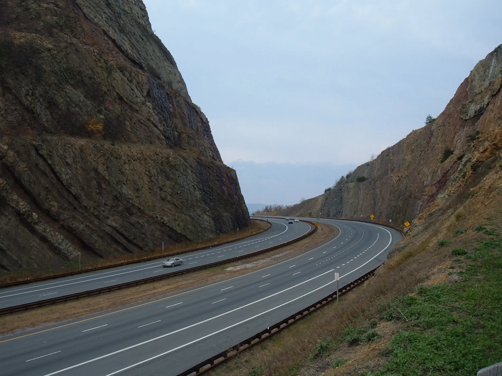
- Nature
- bare rock
Streets nearby
Victor Cushwa Memorial Bridge200 ft
Sideling Hill Rest Area Westbound0.1 mi
Sideling Hill Rest Area Eastbound0.2 mi
Buck Jump Lane0.4 mi
Mountain Road0.4 mi
Rice Road0.5 mi
National FreewaySideling Hill Viewpoint
0.6 mi
Stumpf Road0.8 mi
Lucas Road0.9 mi
Finch Lane0.9 mi
Lehman Road1.0 mi
Dove Lane1.1 mi
Bottenfield Road1.2 mi
Gunsmoke Road1.2 mi
Hendershot Road1.3 mi
Chickory Lane1.3 mi
Excelsior Road1.3 mi
Ash Drive1.4 mi
Jerome Road1.5 mi
Western PikeHarvey, Mount Olivet Presbyterian Church
1.5 mi
Mann RoadMann
1.5 mi
Redbud Lane1.5 mi
Hill RoadMann
1.6 mi
Nature Lane1.6 mi
Hixon RoadForest Park
1.7 mi
Resley Road1.7 mi
Hoffmans Inn Road1.9 mi
McFarland Road1.9 mi
Mallard Run Lane1.9 mi
Henline Road2.0 mi
Hereford Lane2.0 mi
High Germany Road2.0 mi
National PikeShady Bower, Spickler, Saint Johns United Church of Christ, Greenbrier Baptist Church, Mountain Vistas, Conococheague, Huyett, Huyettes Mennonite School, Emmanuel Baptist Temple, Parkhead United Methodist Church, Clear Spring, Saint Andrews Episcopal Church, Indian Springs
2.2 mi
Roberts Road2.2 mi
Schriever Road2.3 mi
Riser Road2.4 mi
Whorton Road2.4 mi
Exline Road2.4 mi
Harmonia RoadBuck Valley Church
2.5 mi
Buildings nearby
Valley Medow Farms1.0 mi
House on Mountian Road1.0 mi
Barn on Bottenfield Road1.3 mi
Farm house on Jerome Road1.5 mi
Cemeteries nearby
Saint Pauls Cemetery1.5 mi
Places of worship nearby
Saint Pauls Church1.5 mi
Ridges nearby
Sideling Hill2.1 mi
Streams nearby
Munson Spring Branch1.0 mi
Little Tonoloway Creek2.0 mi
Tourist information centers nearby
Sideling Hill Welcome Center250 ft
| Elevation | 2310 |
|---|---|
| Located in | Hampshire County |
| Country | United States |
| Part of | Ridge-and-Valley Appalachians |
 Public transit map Washington County Legend
| Railway | |
| Bus | |
| Streetcar |
 Bicycle map Washington County Legend
| Bike path | |
| Bike lane on roadway | |
| Cycling allowed on bus lane | |
| Bicycle street | |
| Open to cyclists | |
| Open to cyclists, good path | |
| Cycling prohibited | |
| Cobblestone |
| Long-distance bike route | (depending on scale) | |
| Long-distance bike route |
 Pedestrian map Washington County Legend
| Path |
| Long-distance hiking trail | (depending on scale) | |
| Long-distance hiking trail | ||
| Pedestrians prohibited |