
4th Street in Frankfort, Michigan
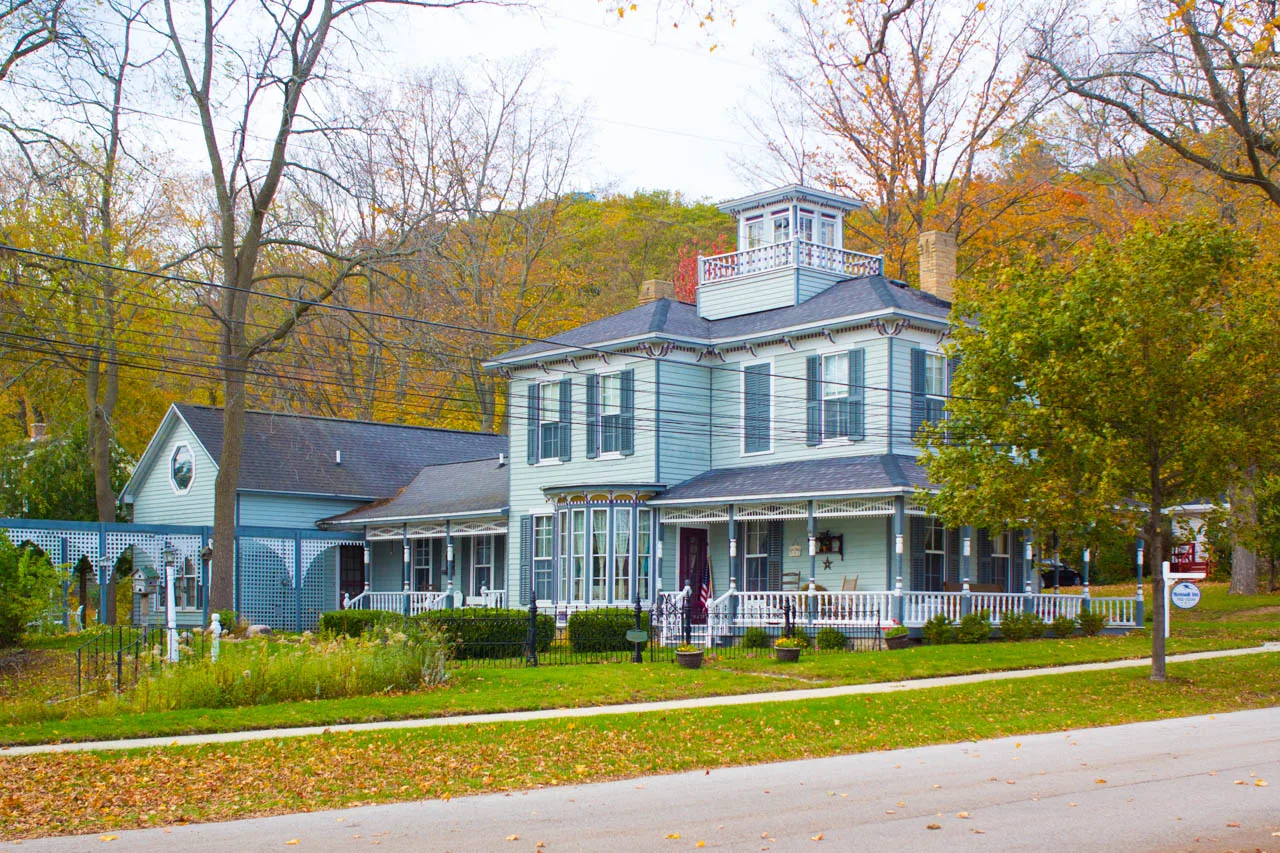
4th Street in Frankfort is a two-lane residential street. It runs in a north-south direction starting from Leelanau Avenue and crosses Harbor Place, Forest Avenue, Anchor Place, Main Street and Waterfront Drive. 4th Street also exists in Benzonia Township and Blaine Township.
- Road Type
- residential street
- Lanes
- 2
- Route
- north-south
Image
Clothing stores
Gas stations
Places of worship
Restaurants
Streets nearby
3rd Street500 ft
5th StreetFirst Congregational Church
500 ft
Harbor Place550 ft
Waterfront Drive0.1 mi
Anchor PlacePerks, EZ Mart
0.2 mi
Forest AvenueFrankfort, Shell
0.2 mi
2nd Street0.2 mi
Leelanau AvenueShell
0.2 mi
Main StreetMichigan Rag Co., The Fusion
0.2 mi
Sac Street0.3 mi
Miami Street0.3 mi
7th Street0.3 mi
Michigan Avenue Path0.3 mi
6th Street0.3 mi
Coast Guard Road0.3 mi
Father Marquette Circle0.3 mi
Nippising Street0.3 mi
Coast Guard Access0.3 mi
USCG0.3 mi
Park AvenueSt. Anna's
0.3 mi
Winnebago Street0.3 mi
Michigan Avenue0.4 mi
Banks nearby
West Michigan Bank & Trusts0.1 mi
Beaches nearby
Frankfort Beach0.4 mi
Buildings nearby
AT&T Frankfort central office0.2 mi
Harbormaster's Office0.2 mi
U.S. Coast Guard Station0.3 mi
Candy stores nearby
Kilwins300 ft
Drugstores nearby
Community Drug of Frankfort300 ft
Hotels nearby
Betsie Bay Inn0.1 mi
Ice cream shops nearby
The Cool Spot0.1 mi
Libraries nearby
Benzie Shores District Library0.3 mi
Marinas nearby
Jacobson Marina Resort0.2 mi
Marina at Harbor Lights0.3 mi
Frankfort Municipal Marina0.3 mi
Military areas nearby
U.S. Coast Guard - Station Frankfort0.3 mi
Movie theaters nearby
Garden Theater450 ft
Parks nearby
Rotary Park0.1 mi
Charlevoix Cannon Park0.2 mi
Mineral Springs Park0.3 mi
Post offices nearby
Frankfort Post Office0.2 mi
Pubs nearby
Stormcloud Brewing450 ft
Resorts nearby
Harbor Lights Resort0.3 mi
Restaurants nearby
The Dinghy's300 ft
A Papanos500 ft
School buildings nearby
Frankfort-Elberta Elementary School0.3 mi
Town halls nearby
Frankfort City Hall500 ft
Other nearby
North Revetment0.3 mi
South Revetment0.3 mi
 Public transit map Frankfort Legend
| Railway | |
| Bus | |
| Streetcar |
 Bicycle map Frankfort Legend
| Bike path | |
| Bike lane on roadway | |
| Cycling allowed on bus lane | |
| Bicycle street | |
| Open to cyclists | |
| Open to cyclists, good path | |
| Cycling prohibited | |
| Cobblestone |
| Long-distance bike route | (depending on scale) | |
| Long-distance bike route |
 Pedestrian map Frankfort Legend
| Path |
| Long-distance hiking trail | (depending on scale) | |
| Long-distance hiking trail | ||
| Pedestrians prohibited |