
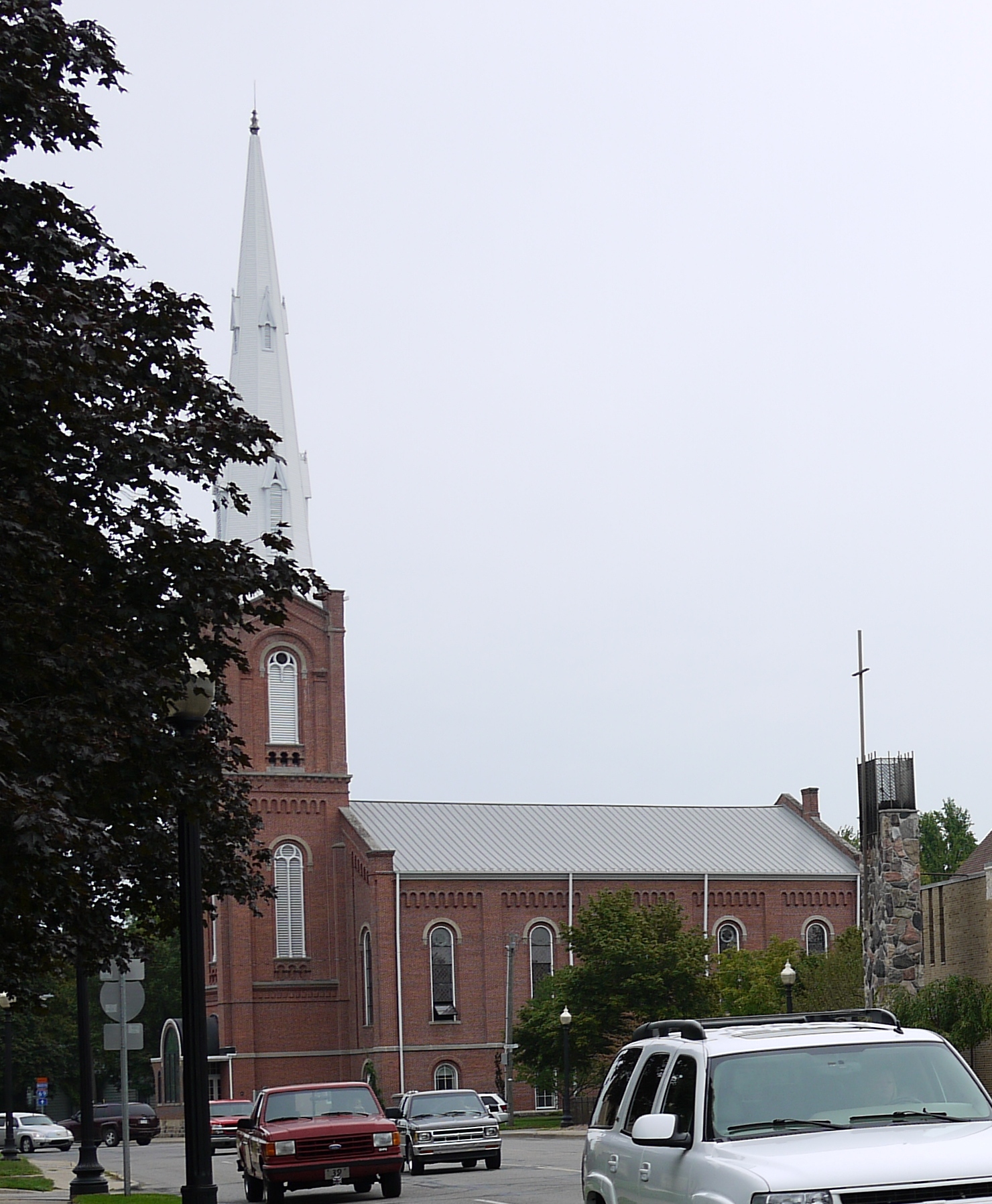
North Jefferson Street in Coldwater, Michigan
North Jefferson Street in Coldwater is a residential street. It runs in a north-south direction starting from East Pierce Street and crosses Hull Street, Church Street and East Chicago Street and ends at South Jefferson Street. Nearby there is a convenience store. North Jefferson Street also exists in Genesee County, Bay County, Saginaw County, Ingham County and Saint Joseph County.
- Road Type
- residential street
- Route
- north-south
Image
Convenience stores
Streets nearby
Mala Drive350 ft
Park Place0.2 mi
East Pearl StreetBranch District Library, Coldwater Police Department, Wing House Museum
0.2 mi
South Hudson StreetFirst Church of Christ, Saint Marks Episcopal Church
0.2 mi
Taylor Street0.2 mi
Cornwell Court0.2 mi
Church StreetFirst Presbyterian Church, United Methodist Church
0.2 mi
Daugherty Street0.2 mi
Lincoln0.3 mi
Milnes Plaza0.3 mi
North Monroe Street0.3 mi
East Pierce Street0.3 mi
West Pierce Street0.3 mi
Park Street0.3 mi
North Hanchett Street0.3 mi
North Sprague Street0.3 mi
South Monroe StreetRoosevelt Junior High School, Southern Roots Salon & Spa
0.4 mi
East Alden Street0.4 mi
Central Park Drive0.4 mi
Judy Court0.4 mi
South Jefferson Street0.4 mi
Elm Street0.4 mi
East Washington StreetColdwater Market
0.4 mi
West Washington StreetCVS Pharmacy
0.4 mi
Balfour Drive0.4 mi
Perkins StreetChurch of the Holy Spirit, Coldwater Bible Church
0.4 mi
Morse StreetWashington School
0.4 mi
Peckham Street0.5 mi
East Park AvenueRoyal Market & Grocery, Taiz Store
0.5 mi
Michael Drive0.5 mi
Grady Court0.5 mi
South Sprague Street0.5 mi
Wright Street0.5 mi
Thompson Boulevard0.5 mi
Conover Street0.5 mi
Hooker Street0.6 mi
North Waterworks Drive0.6 mi
Bennett Street0.6 mi
Hull Street0.6 mi
Sheldon Court0.6 mi
Rose Street0.6 mi
Cutter Avenue0.6 mi
Tibbits StreetLincoln School
0.7 mi
Whispering Pines Drive0.7 mi
Buildings nearby
Frontier Coldwater central office0.3 mi
Parks nearby
Jefferson Park0.6 mi
Recreation grounds nearby
Branch County Fairgrounds0.7 mi
Rivers nearby
Sauk River0.6 mi
Other nearby
Community Health Center of Branch County Heliport0.5 mi
Public transit map Coldwater Legend
| Railway | |
| Bus | |
| Streetcar |
Bicycle map Coldwater Legend
| Bike path | |
| Bike lane on roadway | |
| Cycling allowed on bus lane | |
| Bicycle street | |
| Open to cyclists | |
| Open to cyclists, good path | |
| Cycling prohibited | |
| Cobblestone |
| Long-distance bike route | (depending on scale) | |
| Long-distance bike route |
Pedestrian map Coldwater Legend
| Path |
| Long-distance hiking trail | (depending on scale) | |
| Long-distance hiking trail | ||
| Pedestrians prohibited |