
North Cass Street in Traverse City, Michigan
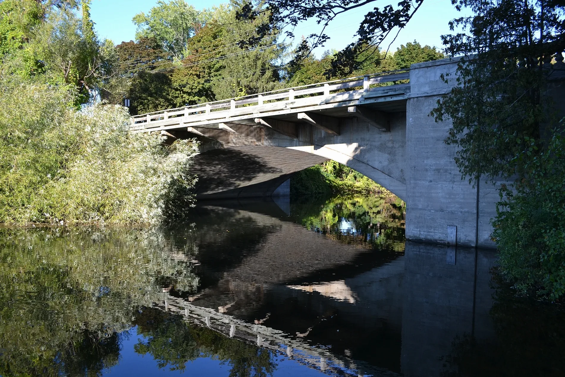
North Cass Street in Traverse City is a two-lane, asphalted local road and crosses a bridge. It runs in a north-south direction starting from East Grandview Parkway and crosses East Front Street and ends at South Cass Street. North Cass Street also exists in Berrien County, Barry County, Calhoun County, Mecosta County and Oscoda County.
- Road Type
- local road
- Lanes
- 2
- Route
- north-south
Image
Streets nearby
Clinch Park Tunnel300 ft
East Grandview ParkwaySara Hardy Downtown Farmer's Market, Lot B, Lot T
350 ft
North Park StreetCompass Montessori Junior High
0.1 mi
Park StreetTaproot Cider House
0.2 mi
Washington Street0.2 mi
South Cass StreetClarke-Everett Dog & Cat Hospital, The Omelette Shoppe, My Secret Stash, Fire Fly, Bulldog's Barbershop, Cass Street & Lake Avenue, The Towne Plaza
0.2 mi
Boardman AvenueTwo Sons Pizza
0.3 mi
Beth El Way0.3 mi
Midtown Drive0.3 mi
Court StreetTraverse City, Grand Traverse Law Library, Autumn, 1989
0.3 mi
Lake AvenueArchie's Social House, ChargePoint, The Parlor
0.4 mi
Boardman Lake Trail0.4 mi
Artworks nearby
Greetings from Traverse City400 ft
Auto parts stores nearby
Thirlby Automotive0.4 mi
Bars nearby
The Little Fleet0.4 mi
Bookstores nearby
Horizon Books0.1 mi
Buildings nearby
Traverse Connect150 ft
Century 210.2 mi
Ladies Library Building0.2 mi
State Street Marketplace0.2 mi
Front Street Lift Station0.3 mi
Grand Traverse County Prosecuting Attorney's Office0.3 mi
Grand Traverse County Correctional Facility0.3 mi
City of Traverse City & Grand Traverse County Governmental Center0.4 mi
Cafes nearby
Morsels0.2 mi
Cannabis dispensaries nearby
Dunegrass Co. T.C. Downtown0.3 mi
Commercial areas nearby
Front Street District0.3 mi
Old Town District0.4 mi
Courthouses nearby
Grand Traverse County Courthouse0.3 mi
Gift shops nearby
Nifty Things300 ft
Hotels nearby
Park Place Hotel0.2 mi
Movie theaters nearby
State Theatre400 ft
Office buildings nearby
AT&T Traverse City Central Office0.1 mi
Parking lots nearby
Larry C. Hardy Parking Garage0.2 mi
Parks nearby
J. Smith Walkway400 ft
American Legion Park0.2 mi
Places of worship nearby
Central United Methodist Church0.2 mi
First Baptist Church0.2 mi
Temple Beth El0.3 mi
Grace Episcopal Church0.3 mi
Pubs nearby
Rare Bird0.3 mi
Residential areas nearby
Midtown Centre0.4 mi
Restaurants nearby
Mackinaw Brewing Company200 ft
Pangea's Pizza350 ft
Red Ginger500 ft
Bubba's0.3 mi
Retail buildings nearby
Front Street Arcade500 ft
Rivers nearby
Boardman River0.4 mi
Tobacco shops nearby
Nolan's Tobacco0.2 mi
Public transit map Traverse City Legend
| Railway | |
| Bus | |
| Streetcar |
Bicycle map Traverse City Legend
| Bike path | |
| Bike lane on roadway | |
| Cycling allowed on bus lane | |
| Bicycle street | |
| Open to cyclists | |
| Open to cyclists, good path | |
| Cycling prohibited | |
| Cobblestone |
| Long-distance bike route | (depending on scale) | |
| Long-distance bike route |
Pedestrian map Traverse City Legend
| Path |
| Long-distance hiking trail | (depending on scale) | |
| Long-distance hiking trail | ||
| Pedestrians prohibited |