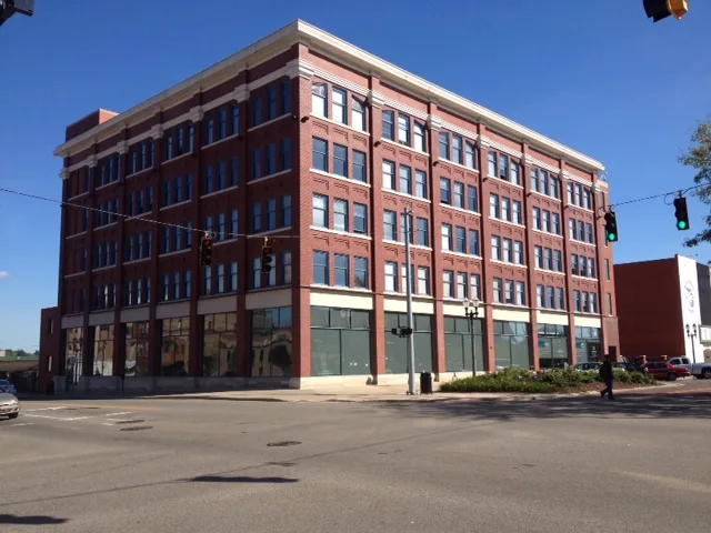
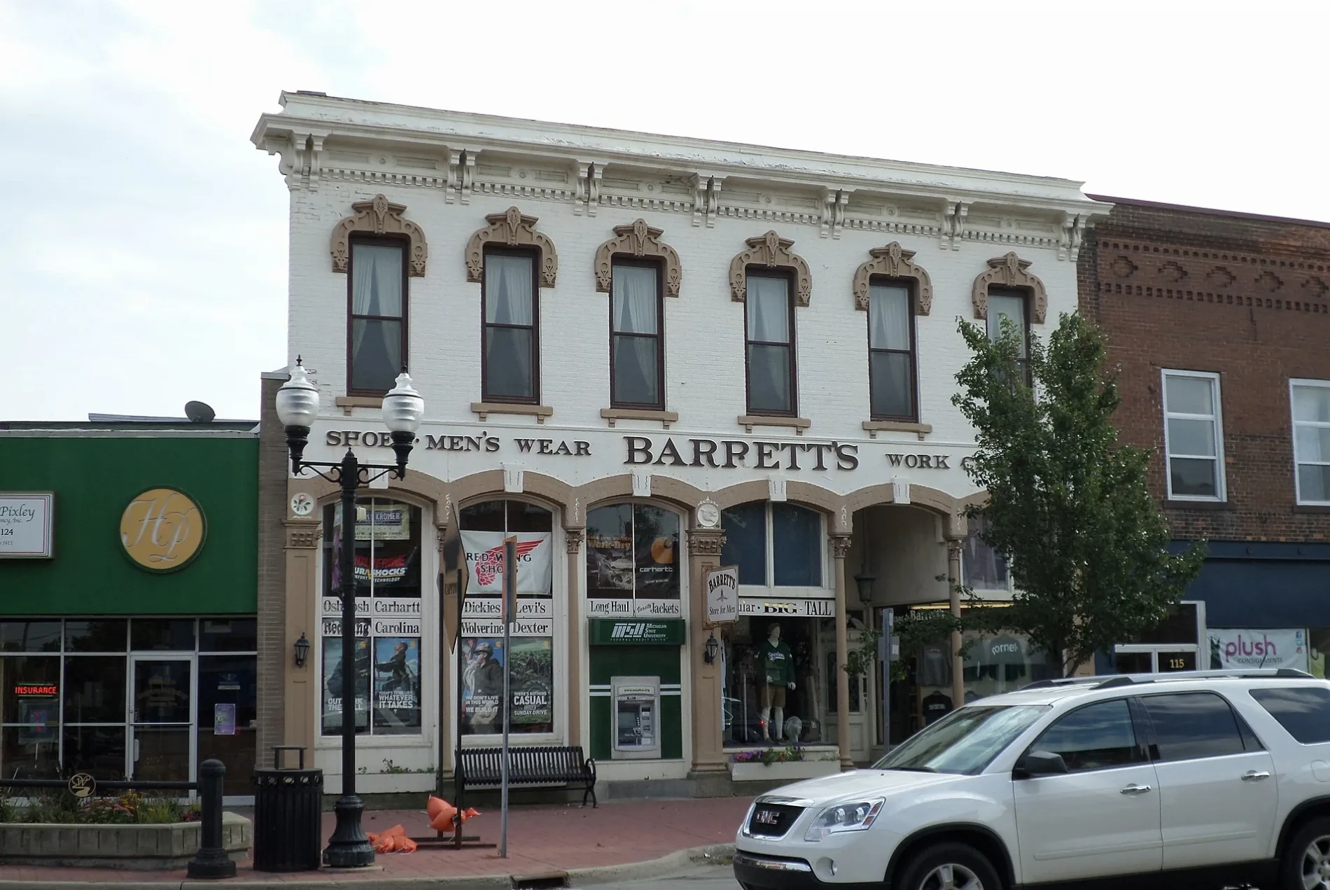


Dansville
Stockbridge
Webberville

Ingham County
Ingham County is located in Michigan. About 286,085 people live here. Between 2010 and 2020, the population grew from 280,895 to 284,900. The area covers about 1,453.0 square kilometers. The region is divided into 7 Municipalities and 16 Subregions. The region was founded in 1838. Ingham County is county in Michigan, United States. More information at www.ingham.org.
Photos from Ingham County

| Year built | 1838 |
|---|---|
| Area | 1453 km² |
| Located in | Michigan |
| Country | United States |
| Population | 284900 |
| Native name | Ingham County |
 Public transit map Ingham County Legend
 | Railway | |
| Bus | |
| Tram |
 Bicycle map Ingham County Legend
 | Bike path | |
| Bike lane on roadway | |
| Cycling allowed on bus lane | |
| Bicycle street | |
| Open to cyclists | |
| Open to cyclists, good path | |
| Cycling prohibited | |
| Cobblestone |
| Long-distance bike route | (depending on scale) | |
| Long-distance bike route |
 Pedestrian map Ingham County Legend
 | Path |
| Long-distance hiking trail | (depending on scale) | |
| Long-distance hiking trail | ||
| Pedestrians prohibited |