
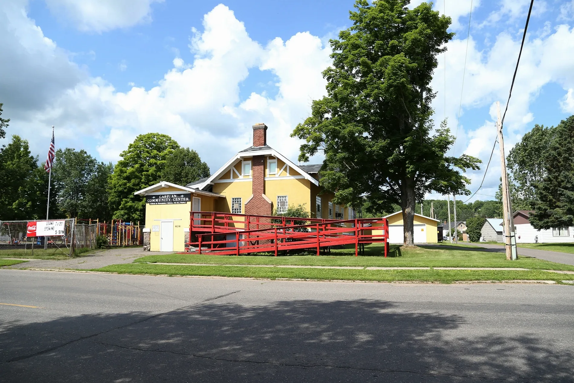
East Railroad Street in Caspian, Michigan
East Railroad Street in Caspian is an asphalted secondary road. It runs in a north-south direction starting from County Road 424 and crosses Spring Valley Avenue, East Caspian Avenue, West Caspian Avenue, Berkshire Avenue, Albino Street, Baltic Avenue, Sawyer Street, Jobe Street and Youngs Avenue and ends at East 1st Street. This street is part of the highway "424". Nearby there is a gas station. East Railroad Street also exists in Monroe County, Clinton County, Branch County, Cass County and Lenawee County.
- Road Type
- secondary road
- Route
- north-south
Image
Gas stations
Streets nearby
Brady Place300 ft
Lennox Place450 ft
Sawyer Street500 ft
East 1st StreetNorthland Super Service
550 ft
East 2nd Street0.1 mi
Albino Street0.2 mi
West Railroad Street0.2 mi
Baltic Avenue0.2 mi
West 1st Street0.2 mi
Jobe Street0.2 mi
West 2nd Street0.2 mi
Spring Valley Avenue0.2 mi
East Caspian AvenueKrist
0.3 mi
Verona Avenue0.3 mi
Morgan Street0.3 mi
West 3rd Street0.3 mi
West Caspian AvenueCaspian
0.3 mi
River Street0.3 mi
West Caspian Road0.3 mi
Brule Avenue0.3 mi
Berkshire Avenue0.4 mi
Battye Road0.4 mi
Youngs Avenue0.4 mi
Baker Avenue0.4 mi
Caspian Road0.4 mi
McGillis Avenue0.4 mi
Brady AvenueSaint Cecilia Church, Caspian City Police Department
0.5 mi
Abandoned railways nearby
Chicago and North Western RR0.4 mi
Buildings nearby
Toti Tavern0.4 mi
Crossing House0.4 mi
Stager Depot0.4 mi
Gas Station0.4 mi
Carrie Jacobs-Bond Home0.4 mi
Shop Building0.4 mi
Caspian Mine Headframe0.4 mi
Pioneer (Baumgartner) School0.4 mi
Scraper-Drift0.4 mi
Soderquist Barn, Shed and Blacksmith Shop0.5 mi
Peterson Log Cabin0.5 mi
Poutinen Log Barn0.5 mi
Beechwood Log Cabin0.5 mi
Sharrard Logging Camp0.5 mi
Shingle Mill Barn & Sleigh Shed0.5 mi
Giovanelli Home & Studio Art Gallery0.5 mi
Cabins nearby
Johnson Homestead Cabin0.5 mi
Fire stations nearby
Caspian Gastra Fire Department0.5 mi
Post offices nearby
Caspian Post Office0.2 mi
Streams nearby
Holmes Creek0.4 mi
Variety stores nearby
Dollar General0.4 mi
Public transit map Caspian Legend
| Railway | |
| Bus | |
| Streetcar |
Bicycle map Caspian Legend
| Bike path | |
| Bike lane on roadway | |
| Cycling allowed on bus lane | |
| Bicycle street | |
| Open to cyclists | |
| Open to cyclists, good path | |
| Cycling prohibited | |
| Cobblestone |
| Long-distance bike route | (depending on scale) | |
| Long-distance bike route |
Pedestrian map Caspian Legend
| Path |
| Long-distance hiking trail | (depending on scale) | |
| Long-distance hiking trail | ||
| Pedestrians prohibited |