
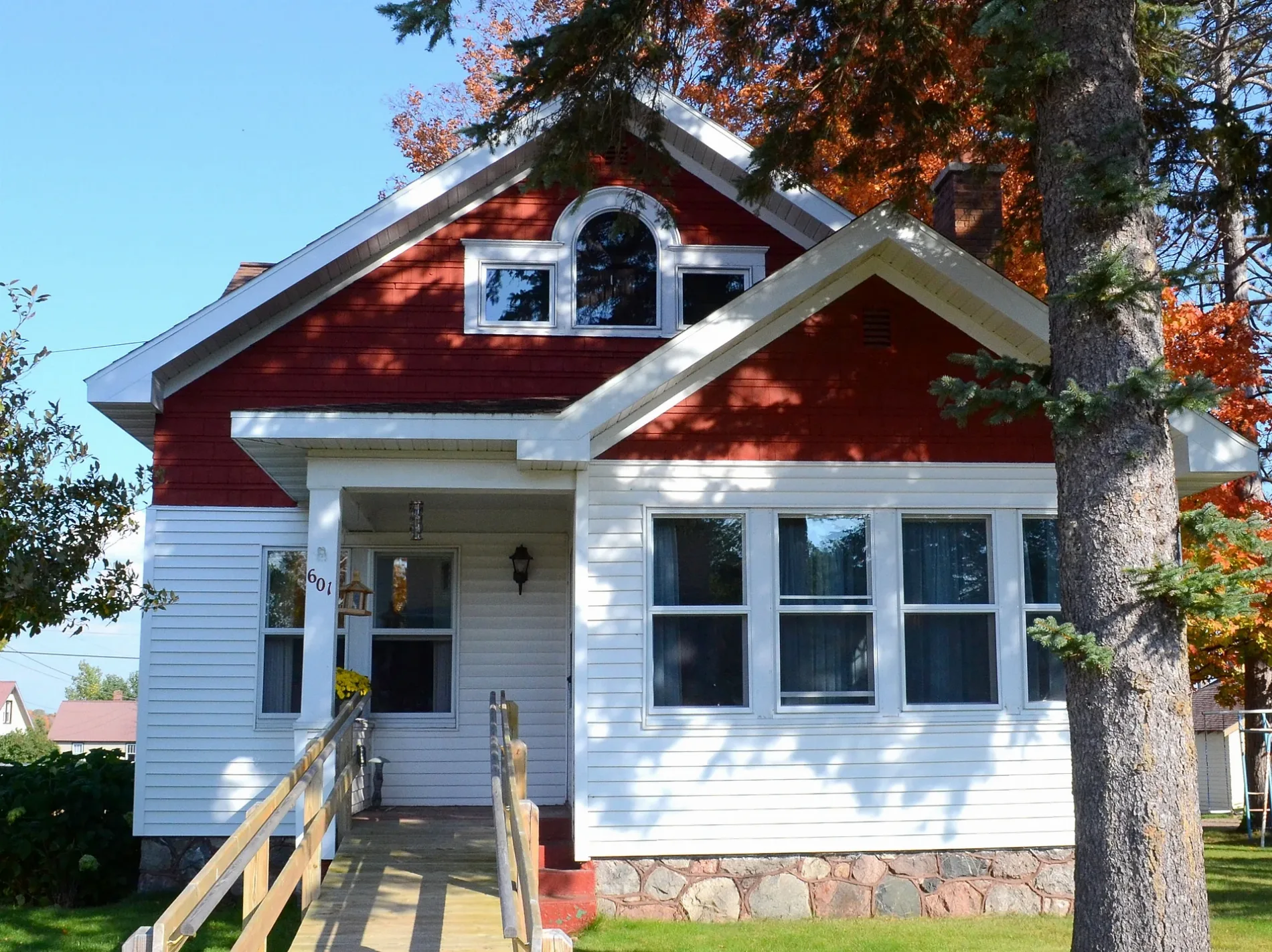
Harding Avenue in Iron River, Michigan
Harding Avenue in Iron River is an asphalted residential street. It runs in a north-south direction starting from Blossom Street and crosses 6th Street, Garnet Street and Holly Street and ends at Iris Street. Harding Avenue also exists in Oakland County, Ingham County, Dickinson County and Muskegon County.
- Road Type
- residential street
- Route
- north-south
Image
Gas stations
Bike shops
Bars
Libraries
Banks
Places of worship
Schools
Post offices
Police stations
Fast food restaurants
Convenience stores
Restaurants
Antique stores
Social facilities
Supermarkets
Cafes
Streets nearby
6th Street450 ft
Wilson Avenue0.1 mi
Roosevelt Avenue0.1 mi
Garnet Street0.2 mi
Holly StreetStambaugh
0.2 mi
Iris StreetSaint Peters Lutheran Church
0.3 mi
Blossom StreetTrinity Lutheran Church
0.3 mi
Amber StreetStambaugh Post Office
0.3 mi
Coolidge Avenue0.3 mi
Cherry Street0.3 mi
Jefferson Avenue0.3 mi
North Lincoln Avenue0.4 mi
Diamond StreetThe Department Store
0.4 mi
McKinley Avenue0.4 mi
Adams Avenue0.4 mi
Reagan Street0.4 mi
Evergreen Street0.4 mi
Bushie Drive0.5 mi
Evergrren Street0.5 mi
Jasper StreetGrace Covenant Church
0.5 mi
Garfield Avenue0.5 mi
Washington AvenueInto The Wild Bikes, Stambaugh Elementary School
0.6 mi
Madison Avenue0.6 mi
Stambaugh Avenue0.6 mi
Lilac Street0.6 mi
Bengal Drive0.6 mi
West Ice Lake Road0.6 mi
Lincoln Avenue0.6 mi
Hemlock Street0.6 mi
Kofmehl Road0.6 mi
Marigold Street0.6 mi
Opal Street0.6 mi
Plum Street0.6 mi
East Ross Street0.6 mi
Ruby Street0.7 mi
Fairview Road0.7 mi
Lenox Street0.8 mi
1st Street0.8 mi
Baker Road0.8 mi
Wall Street0.8 mi
Lovers Lane0.8 mi
Abandoned railways nearby
Chicago and North Western RR0.7 mi
Cemeteries nearby
Stambaugh Cemetery0.5 mi
Parks nearby
Hoover Park0.5 mi
Pubs nearby
Kermit's Pizza Pub & Grill0.5 mi
Schools nearby
West Iron County Middle & High School0.5 mi
Sports fields nearby
Nelson Field0.4 mi
Other nearby
Lincoln Ave Substation0.4 mi
Stambaugh Airport0.8 mi
Public transit map Iron River Legend
| Railway | |
| Bus | |
| Streetcar |
Bicycle map Iron River Legend
| Bike path | |
| Bike lane on roadway | |
| Cycling allowed on bus lane | |
| Bicycle street | |
| Open to cyclists | |
| Open to cyclists, good path | |
| Cycling prohibited | |
| Cobblestone |
| Long-distance bike route | (depending on scale) | |
| Long-distance bike route |
Pedestrian map Iron River Legend
| Path |
| Long-distance hiking trail | (depending on scale) | |
| Long-distance hiking trail | ||
| Pedestrians prohibited |