
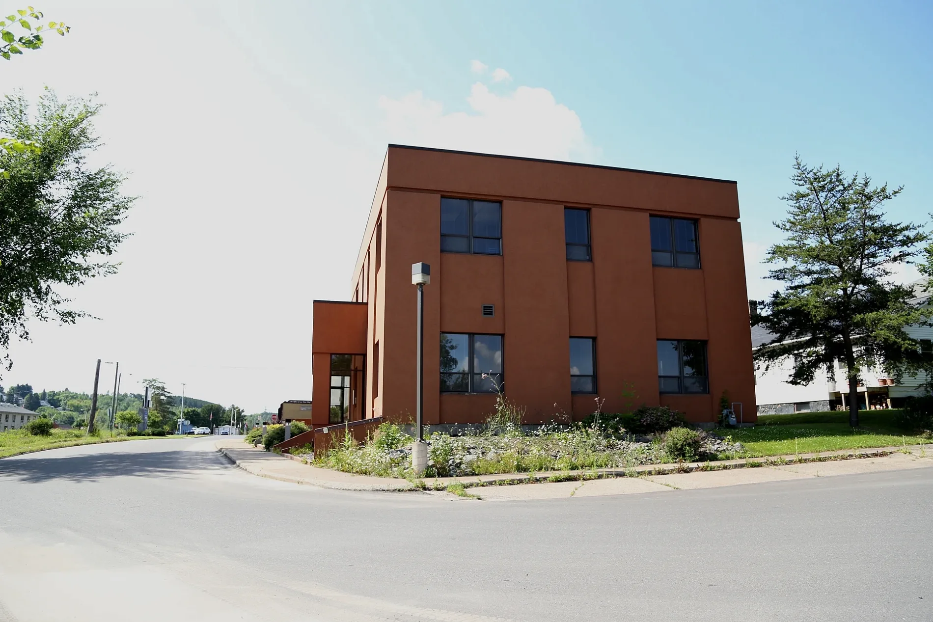
East Minckler Street in Iron River, Michigan
East Minckler Street in Iron River is an asphalted residential street and it runs in an east-west direction starting from North Cedar Avenue and ends at North Lay Avenue.
- Road Type
- residential street
- Route
- east-west
Image
Convenience stores
Fast food restaurants
Libraries
Clothing stores
Cannabis dispensaries
Places of worship
Police stations
Banks
Social facilities
Gas stations
Restaurants
Supermarkets
Bars
Cafes
Post offices
Streets nearby
East Cayuga Street0.1 mi
North Lay Avenue0.1 mi
North Cedar Avenue0.1 mi
Adams Street0.1 mi
West Adams StreetKrist, Holiday, KFC, First Presbyterian Church
0.2 mi
East Genesee StreetRiverside Pizzaria
0.2 mi
Iron River - Marenisco TrailWest Iron County Fire Department
0.2 mi
Apple Blossom Trail0.2 mi
East Maple Street0.3 mi
North River Avenue0.3 mi
East Boyington Street0.3 mi
Riverside Avenue0.3 mi
Cedar Avenue0.3 mi
North 2nd AvenueKrist Express
0.3 mi
Lincoln Avenue0.4 mi
East Ross Street0.4 mi
West Maple StreetThe Fire Station Cannabis Shop
0.4 mi
West Monroe Street0.4 mi
North 4th AvenueIron River, Alice's Supper Club
0.4 mi
Hemlock Street0.4 mi
West Boyington Street0.4 mi
East Hemlock Street0.4 mi
North 1st Avenue0.5 mi
West Madison Street0.5 mi
Washington AvenueStambaugh Elementary School
0.5 mi
West Burns Street0.5 mi
North Lincoln Avenue0.5 mi
Bushie Drive0.6 mi
Auto parts stores nearby
O'Reilly Auto Parts0.4 mi
Banks nearby
First National Bank0.2 mi
Buildings nearby
Iron County Economic Chamer Alliance0.3 mi
Outer Limits Bar & Grill0.3 mi
Michigan Secretary Of State0.6 mi
Cannabis dispensaries nearby
Green Pharm0.1 mi
Car washes nearby
Fast Lane Carwash0.4 mi
Drugstores nearby
Snyders Drug Store0.3 mi
Fast food restaurants nearby
McDonald's0.1 mi
The Stand Food And Ice Cream Drive In0.2 mi
Subway0.2 mi
Gift shops nearby
The Rose Quartz Cottage0.2 mi
Hotels nearby
AmericInn0.2 mi
Military areas nearby
National Guard0.3 mi
Places of worship nearby
First Lutheran Church0.2 mi
Restaurants nearby
Mr T's Family Restaurant0.3 mi
Rivers nearby
Iron River0.2 mi
Rv parks nearby
Iron River RV Park0.2 mi
Secondhand stores nearby
Laughing Loon Emporium0.4 mi
Town halls nearby
Iron River City Hall0.3 mi
Other nearby
Lincoln Ave0.5 mi
Public transit map Iron River Legend
| Railway | |
| Bus | |
| Streetcar |
Bicycle map Iron River Legend
| Bike path | |
| Bike lane on roadway | |
| Cycling allowed on bus lane | |
| Bicycle street | |
| Open to cyclists | |
| Open to cyclists, good path | |
| Cycling prohibited | |
| Cobblestone |
| Long-distance bike route | (depending on scale) | |
| Long-distance bike route |
Pedestrian map Iron River Legend
| Path |
| Long-distance hiking trail | (depending on scale) | |
| Long-distance hiking trail | ||
| Pedestrians prohibited |