
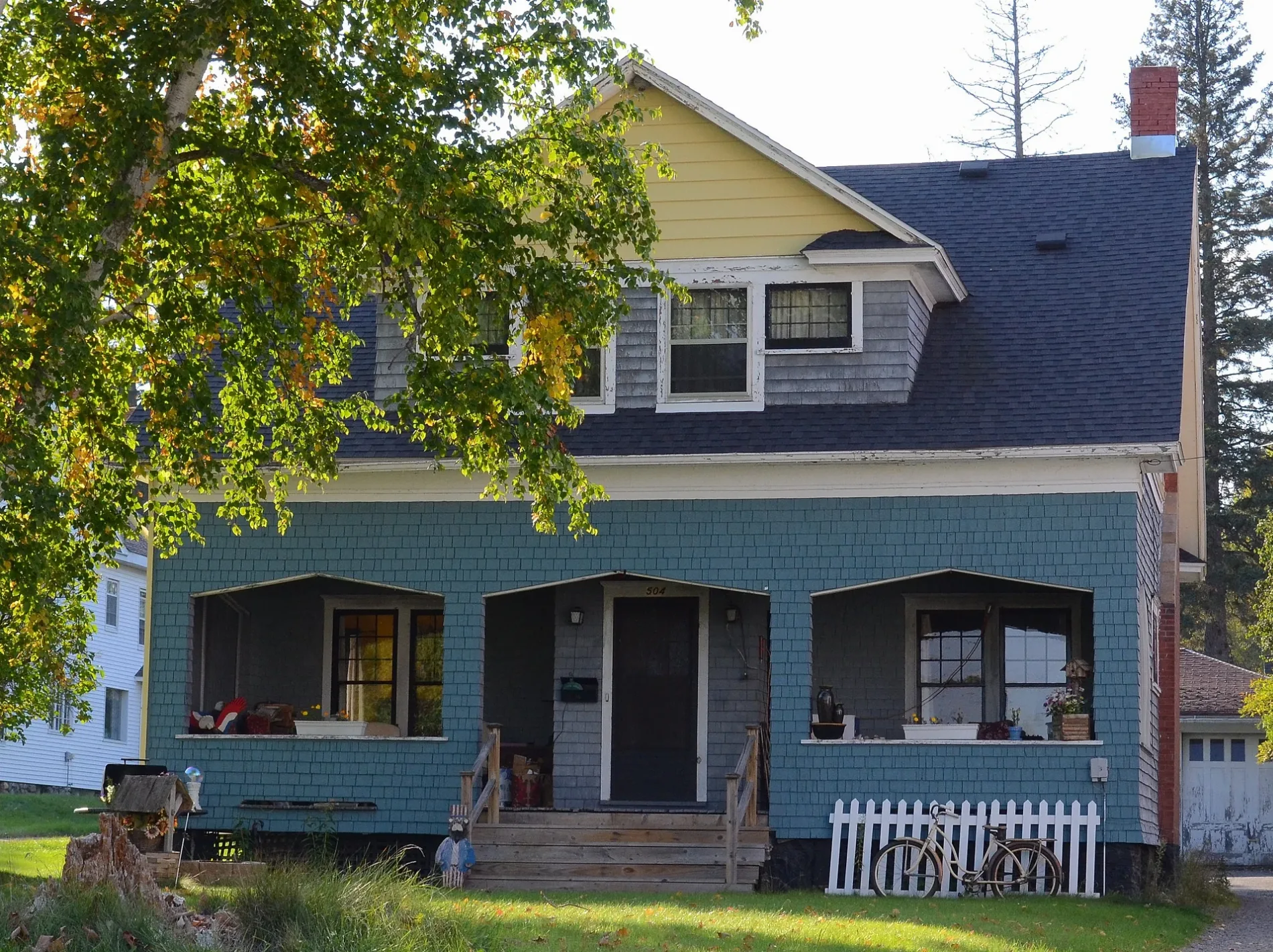
Selden Road in Iron River, Michigan
Selden Road in Iron River is a two-lane, asphalted secondary road. It runs in a north-south direction starting from North 4th Avenue and crosses West Division Street, West 7th Street, Dober Mine Road and West Hiawatha Road. This street is part of the highway "189".
- Road Type
- secondary road
- Lanes
- 2
- Route
- north-south
Image
Convenience stores
Schools
Cafes
Banks
Fast food restaurants
Places of worship
Post offices
Bars
Libraries
Restaurants
Gas stations
Cannabis dispensaries
Clothing stores
Police stations
Streets nearby
West 7th Street0.1 mi
Apple Blossom Trail0.4 mi
West Division Street0.4 mi
Garfield Avenue0.4 mi
Division Street0.4 mi
Sunstone Avenue0.4 mi
Madison Avenue0.4 mi
Sunrise Avenue0.5 mi
Evergrren Street0.5 mi
North 5th Avenue0.5 mi
Evergreen Street0.5 mi
West Ross StreetThe Depot Restaurant & Bakery
0.5 mi
North 7th AvenueCommunity Church of Nazarene
0.5 mi
Washington AvenueStambaugh Elementary School
0.5 mi
South 10th Street0.5 mi
Holly StreetStambaugh
0.5 mi
Garnet Street0.5 mi
North River Avenue0.5 mi
Hiawatha DriveHiawatha
0.6 mi
Reagan Street0.6 mi
North 9th Avenue0.6 mi
Lilac Street0.6 mi
East Hemlock Street0.6 mi
Iron County ORV & Snowmobile Trail0.6 mi
Jasper StreetGrace Covenant Church
0.6 mi
Diamond Street0.6 mi
West Boyington Street0.6 mi
North 10th Avenue0.6 mi
Marigold Street0.6 mi
West Hiawatha Road0.6 mi
West 19th Street0.6 mi
Hemlock Street0.6 mi
Dober Mine Road0.6 mi
Adams Avenue0.6 mi
McKinley Avenue0.6 mi
West Maple StreetThe Fire Station Cannabis Shop
0.6 mi
North 4th AvenueIron River, Alice's Supper Club
0.7 mi
East Ross Street0.7 mi
Amber StreetStambaugh Post Office
0.7 mi
Riverside Avenue0.7 mi
Banks nearby
CoVantage Credit Union0.7 mi
Cemeteries nearby
Stambaugh Cemetery0.7 mi
Hardware stores nearby
Ace Hardware0.2 mi
Parks nearby
Hoover Park0.5 mi
Places of worship nearby
First Assembly of God Church0.6 mi
Pubs nearby
Kermit's Pizza Pub & Grill0.4 mi
Schools nearby
West Iron County Middle & High School0.4 mi
Sports fields nearby
Nelson Field0.6 mi
Other nearby
Stambaugh Airport0.6 mi
 Public transit map Iron River Legend
| Railway | |
| Bus | |
| Streetcar |
 Bicycle map Iron River Legend
| Bike path | |
| Bike lane on roadway | |
| Cycling allowed on bus lane | |
| Bicycle street | |
| Open to cyclists | |
| Open to cyclists, good path | |
| Cycling prohibited | |
| Cobblestone |
| Long-distance bike route | (depending on scale) | |
| Long-distance bike route |
 Pedestrian map Iron River Legend
| Path |
| Long-distance hiking trail | (depending on scale) | |
| Long-distance hiking trail | ||
| Pedestrians prohibited |