
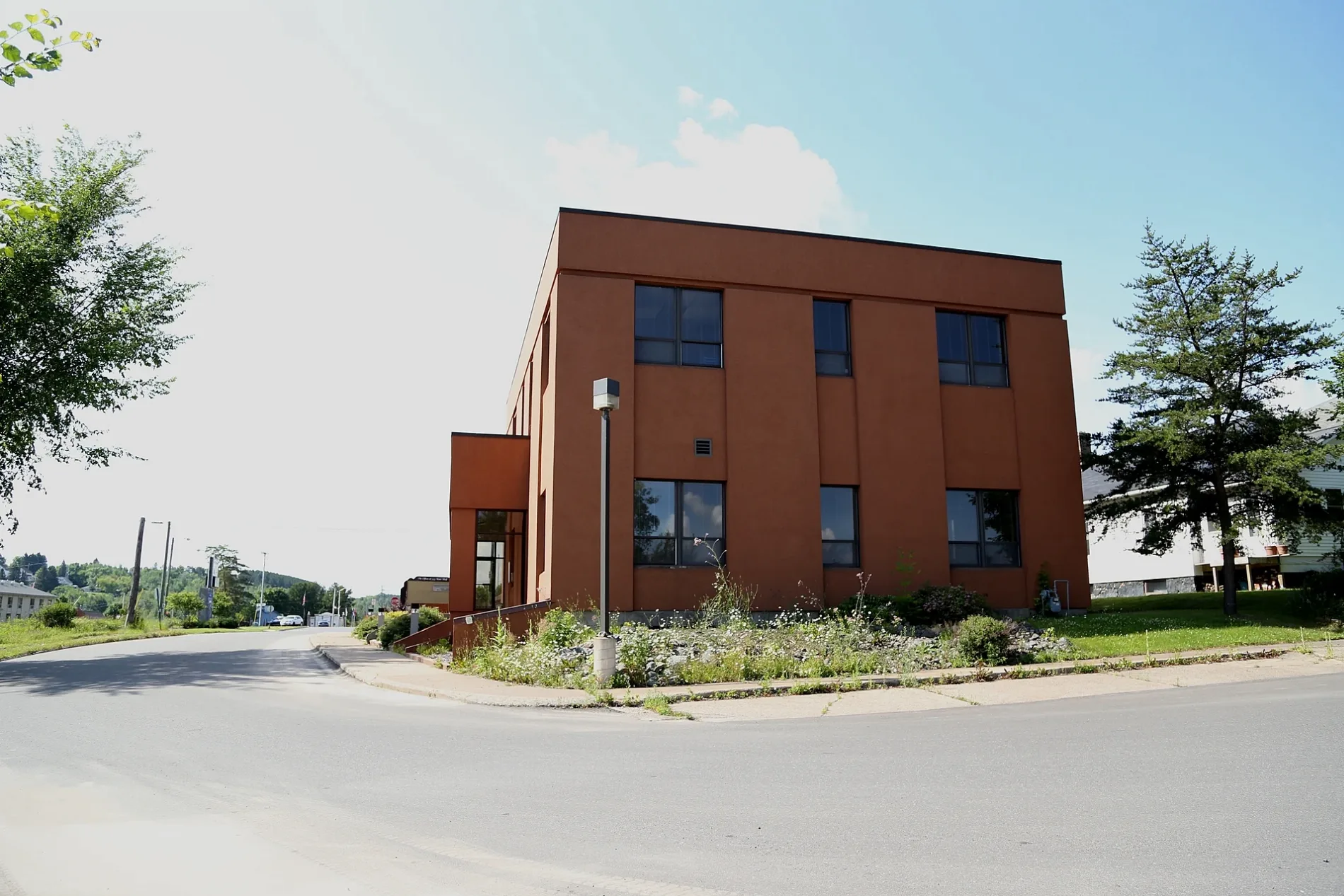
West Cayuga Street in Iron River, Michigan
West Cayuga Street in Iron River is an asphalted residential street. It runs in an east-west direction starting from North 9th Avenue and crosses North 8th Avenue, North 7th Avenue, North 6th Avenue, North 5th Avenue, North 4th Avenue, North 3rd Avenue, North 2nd Avenue and North 1st Avenue and ends at North River Avenue. Nearby there is a place of worship. West Cayuga Street also exists in Antrim County.
- Road Type
- residential street
- Route
- east-west
Image
Places of worship
Streets nearby
North 6th Avenue0.1 mi
West Lincoln Street0.2 mi
Apple Blossom Trail0.2 mi
West Genesee StreetWest Iron District Library, Outer Limits Bar & Grill, Iron River Police Department, Contrast Coffee, Flagstar Bank
0.2 mi
West Maple StreetThe Fire Station Cannabis Shop
0.2 mi
West Sturgeon Street0.2 mi
North River Avenue0.2 mi
North 8th Avenue0.3 mi
North 4th AvenueIron River, Alice's Supper Club
0.3 mi
North 9th Avenue0.3 mi
East Genesee StreetRiverside Pizzaria
0.3 mi
West Ross StreetThe Depot Restaurant & Bakery
0.3 mi
North 7th AvenueCommunity Church of Nazarene
0.3 mi
West Boyington Street0.3 mi
North 5th Avenue0.3 mi
West Franklin Street0.4 mi
West Jackson Street0.4 mi
North 3rd AvenueSaint Agnes Catholic Church, A Bit of Whimsy
0.4 mi
West Monroe Street0.4 mi
10th Avenue0.5 mi
West Madison Street0.5 mi
North 1st Avenue0.5 mi
North 10th Avenue0.5 mi
West Minckler Street0.5 mi
Iron River - Marenisco TrailWest Iron County Fire Department
0.5 mi
North 2nd AvenueKrist Express
0.5 mi
Auto parts stores nearby
Auto Value500 ft
Banks nearby
CoVantage Credit Union0.2 mi
Buildings nearby
Outer Limits Bar & Grill0.2 mi
Iron County Reporter & Shopper's Guide0.3 mi
Iron County Economic Chamer Alliance0.3 mi
Lake Shore Systems0.5 mi
Cafes nearby
Main Street Cafe0.1 mi
Event venues nearby
The Windsor Center0.2 mi
Fast food restaurants nearby
Scott's Subs450 ft
Furniture stores nearby
West End Home Furnishings0.2 mi
Gift shops nearby
The Rose Quartz Cottage0.3 mi
Hotels nearby
AmericInn0.3 mi
Military areas nearby
National Guard0.3 mi
Parks nearby
Iron River Skate Park0.3 mi
Places of worship nearby
First Assembly of God Church0.2 mi
Post offices nearby
Iron River Post Office0.2 mi
Restaurants nearby
Pasty Corner0.3 mi
Rivers nearby
Iron River0.2 mi
Secondhand stores nearby
Laughing Loon Emporium0.1 mi
Supermarkets nearby
Family Foods250 ft
Town halls nearby
Iron River City Hall0.2 mi
Variety stores nearby
Family Dollar0.2 mi
Dollar General0.3 mi
Public transit map Iron River Legend
| Railway | |
| Bus | |
| Streetcar |
Bicycle map Iron River Legend
| Bike path | |
| Bike lane on roadway | |
| Cycling allowed on bus lane | |
| Bicycle street | |
| Open to cyclists | |
| Open to cyclists, good path | |
| Cycling prohibited | |
| Cobblestone |
| Long-distance bike route | (depending on scale) | |
| Long-distance bike route |
Pedestrian map Iron River Legend
| Path |
| Long-distance hiking trail | (depending on scale) | |
| Long-distance hiking trail | ||
| Pedestrians prohibited |