
Charleston Township, Michigan
Charleston Township is located in Kalamazoo County. About 1,904 people live here (as of 2020). Between 2010 and 2020, the population declined from 1,975 to 1,904. The region is at 288 meters above sea level. There are about 170 streets in Charleston Township. Charleston Township is township in Kalamazoo County, Michigan. Among other things, Charleston Township has attractions and schools. More information at www.charlestontownship.org.
Charleston Township – Facts
| Population | 1904 |
|---|---|
| Area | 35.6 |
| Elevation | 288 m |
| Located in | Kalamazoo County |
| Country | United States |
| Website | http://www.charlestontownship.org |
Data source: Wikidata (CC0)
Photos from Charleston Township
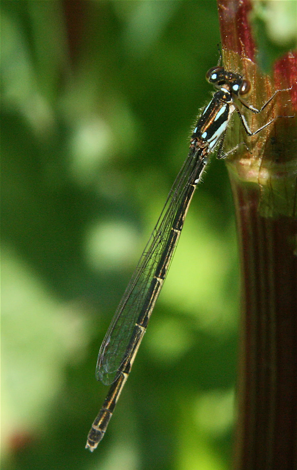
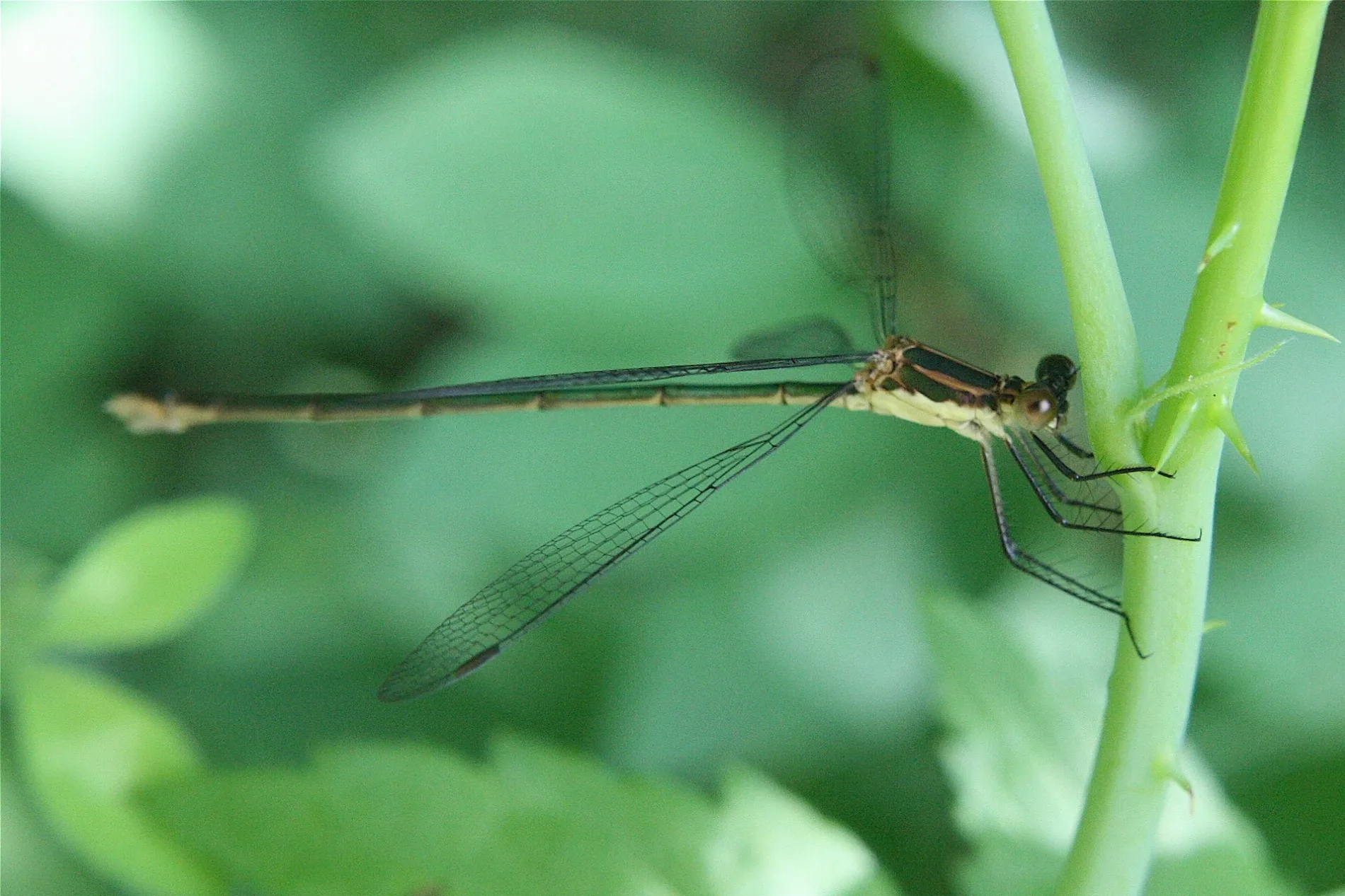

Streets in Charleston Township, Michigan
Streets
North Pine Ayr Drive
Sand Trail Road
Engineer Road
North 42nd Street
Lonchar Drive
Hawthorne Drive
East Michigan Avenue
East L Avenue
Sandwood Street
South 38th Street
North 40th Street
Watkins Road
North 44th Street
Miller Drive
South 42nd Street
Climax Drive
Mott Road
Mercury Drive
South Church Street
East Ml Avenue
Cass Street
Pinehill Drive
Augusta Road
Shady Shore Drive
Roof Drive
South 40th Street
Elmwood Drive
Streamside Drive
Longman Road
Sugar Loaf Road
South 46th Street
North 36th Street
McCollum Road
North 37th Street
Range Road
North 38th Street
East M N Avenue
Fort Custer Drive
East M Avenue
South Pine Ayr Drive
Maplewood Drive
South 44th Street
Red Trail
Trenches, Rocks & Roots, Camel Humps, Big Meadow, Cardiac Bypass, Frog Holler, Granny's Garden, "Amusement Park", No Fear Chute, Deliverance
Historic Trail
Equestrian Trail / Reese Road
Green TrailHarmonia, Switchback, 1st Stream, 2nd Stream, Harmonia Again, "Boat Launch", The Pines, 3rd St., 2nd St., 1st St., On Ramp, Homestead
Hickory Ridge
Peninsula Drive
Ambling Avenue
Galesburg Speedway
Yellow Trail
Red Trail (Crazy Beaver Segment)Crazy Beaver
Blue Loop Cutoff (B5 to B10)
Blue Loop (B5 to B10)
Old Paved Road
26th Street
Armstrong Road
Perimeter Road
Farm Lane
South 36th Street
Blue Loop (G1 to B10)
East Augusta Drive
Antenna Trail
Equestrian Trail
Yellow Trail Access
River Trail Loop
Blue Loop Cutoff (B6 to B5)
South River Trail
Green Acres TrailOld Silo
North River Trail
Red Trail / Yellow TrailDOA
Green Trail / Yellow Trail
Bypass
Red/Green/Yellow Trail
River Trail
Pit Entrance
Pit Exit
Turn 1
Turn 2
Turn 3
Turn 4Cabins
Drains
Farmyards
Military areas
Nature reserves
Parks
Quarries
Railways
Ranger stations
Rivers
Streams
Other
 Public transit map Charleston Township Legend
| Railway | |
| Bus | |
| Streetcar |
 Bicycle map Charleston Township Legend
| Bike path | |
| Bike lane on roadway | |
| Cycling allowed on bus lane | |
| Bicycle street | |
| Open to cyclists | |
| Open to cyclists, good path | |
| Cycling prohibited | |
| Cobblestone |
| Long-distance bike route | (depending on scale) | |
| Long-distance bike route |
 Pedestrian map Charleston Township Legend
| Path |
| Long-distance hiking trail | (depending on scale) | |
| Long-distance hiking trail | ||
| Pedestrians prohibited |