
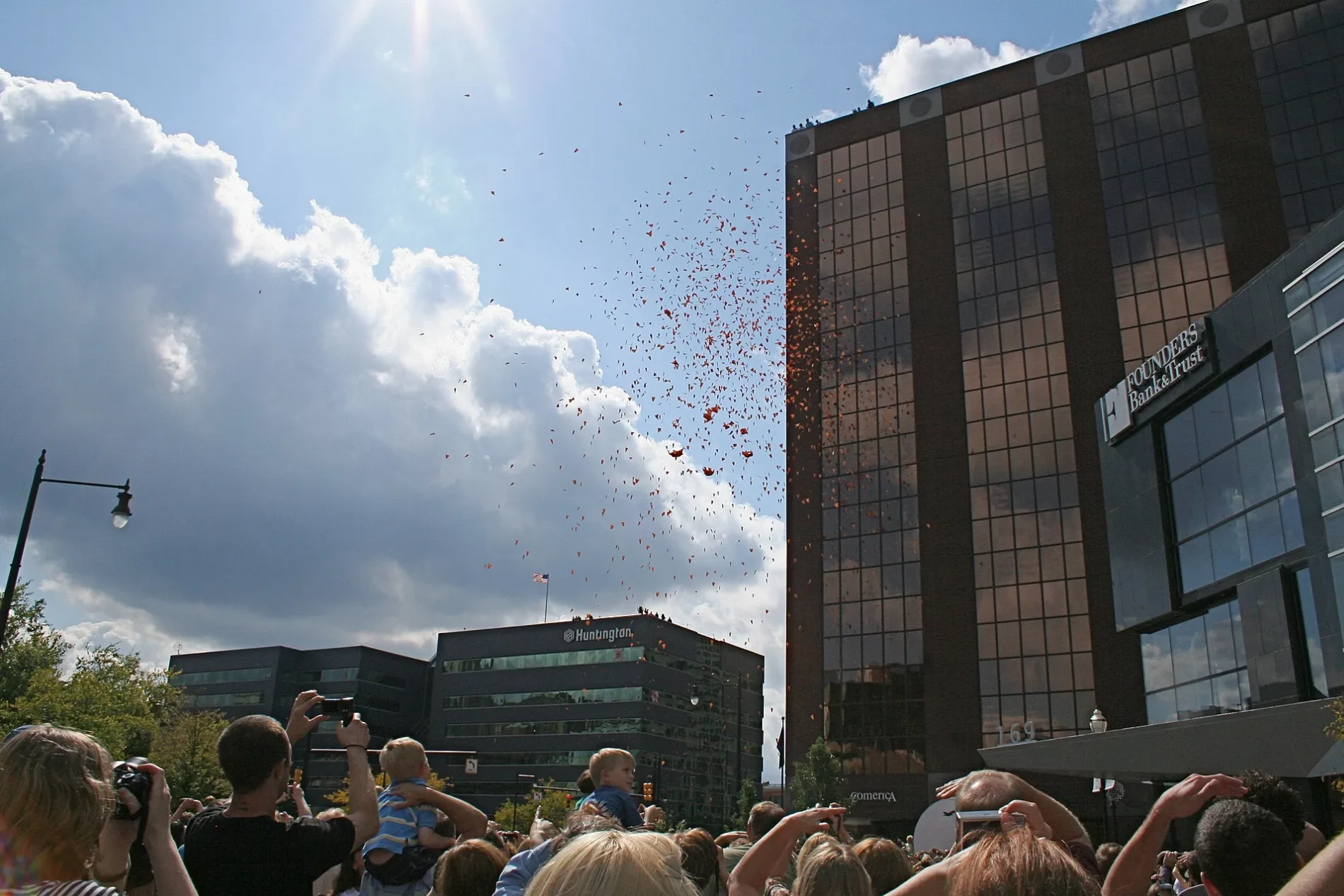
Pearl Street Northwest in Grand Rapids, Michigan
Pearl Street Northwest in Grand Rapids is an asphalted secondary road. It runs in an east-west direction starting from Lake Michigan Drive Northwest and crosses Mount Vernon Avenue Northwest, Scribner Avenue Northwest, Front Avenue Northwest, Campau Avenue Northwest, Monroe Avenue Northwest, Monroe Center Street Northwest, Ottawa Avenue Northwest and Ionia Avenue Northwest and ends at Division Avenue North. Nearby you can find among others 3 restaurants, 3 bars, 2 cafes and 2 banks. The nearest bus stop is Monroe/Louis Station (SB) (about 200 m away).
- Road Type
- secondary road
- Route
- east-west
Image
Cafes
Marketplaces
Restaurants
Banks
Streets nearby
Monroe Center Street NorthwestMadcap Coffee Company, Vault of Midnight, The Factory, Jimmy John's, Soho Sushi, Sweet Yo's, Local Mocha Coffee, Cinco de Mayo, Michigan State University Federal Credit Union, Littlebird, Monsoon Vietnamese Cuisine, Le Macaron, The Atrium at Uccello's Downtown, The Aroma Labs, Courage & Soar, Grand Rapids African American Museum and Archives, Biggby Coffee, House of Wine, Oh, Hello Paper & Gifts, Shinola Grand Rapids Downtown, Wise Men Distillery, Gazelle Sports, Brick & Porter
500 ft
Fountain Street Northwest500 ft
Ionia Avenue NorthwestThe Parlour at CityFlatsHotel, Brush Studio, Artists Creating Together
0.1 mi
Louis Street Northwest45 Ottawa, Social Misfits
0.1 mi
Louis Campau Promenade NorthwestPanera Bread, Love, K-ROK Korean BBQ & Karaoke
0.2 mi
Monroe Avenue NorthwestMonroe/Louis Station (NB), Monroe/Louis Station (SB), Shell, Mike's Wings, Brickyard Tavern, Linear Restaurant, Canal Park Presented by SILVA, Global Street Food - Roam, Bank of America, Metal Art Studio, Field & Fire Cafe, 1120 Monroe Bike Parking, Atwater Brewery, ArtPrize Oasis, Embassy Suites Grand Rapids Downtown, Heaven at Home, ATO Sushi, Devos Place Station (NB), Monroe Community Church, DeVos Place Station (SB), Government Center Parking Ramp, DeVos Place, Roeda Studio
0.2 mi
Van Andel Arena DeVos Place SkywalkZillar's Party Store, Market at Fulton (SB), Market at Fulton (NB), Z's Bar & Restaurant
0.2 mi
Ethel B Coe WayThe Amazing Coe, GLC Live at 20 Monroe
0.2 mi
Campau Avenue Northwest0.2 mi
Grand Rapids Riverwalk East0.2 mi
Fulton Street WestGringoDog's Hotdog Cart, Fulton at Indiana (EB), Fulton at Indiana (WB), Fulton at Lane (WB), Straight Ave Station (EB), Fulton west of Monroe (WB), Buffalo Wild Wings, Fulton at Louis (WB), Beacon Corner Bar, ArtPrize ClubHouse, Dr Grins Comedy Club, John Ball Zoo Station (EB), Pew Campus Station (EB), Pew Campus Station(WB), Fulton at Marion (EB), Fulton at Marion (WB), Fulton at Garfield (WB), GVSU Campus Bike Parking, Fulton at Mt Vernon (EB), Fulton at Mt Vernon (WB), Fulton at Gold (EB), Fulton at National (WB), Straight Ave Station (WB), The Bitter End Coffeehouse, Fulton at Garfield (EB), Garfield Ave Station (WB), Fulton at Van Andel (EB), Spoonlickers, The Rower's Club, Fulton at Lexington (WB), Fulton at Seward (EB), Fulton at Lane (EB)
0.2 mi
Campau Circle Northwest0.2 mi
Ottawa Avenue SouthwestSocial House, Stan's Tacos, Ding Tea, Ottawa at Oakes (NB)
0.3 mi
Weston Street SouthwestBistro Bella Vita
0.3 mi
Apartment buildings nearby
Plaza Towers apartments0.2 mi
Bars nearby
The B.O.B.0.2 mi
Buildings nearby
Trust Building200 ft
Pen Building200 ft
Waters Building250 ft
77 Monroe Building0.1 mi
Calder Plaza Building0.1 mi
Windquest Building0.1 mi
Exhibitors Building0.2 mi
20 Monroe0.2 mi
Commercial buildings nearby
The CWD Building0.2 mi
Hotels nearby
Hyatt Place Grand Rapids/Downtown200 ft
CityFlatsHotel0.1 mi
Amway Grand Plaza0.1 mi
AC Hotel0.2 mi
Barri0.2 mi
Residence Inn Grand Rapids Downtown0.2 mi
JW Marriott Grand Rapids0.2 mi
Amway Grand Hotel0.2 mi
Courtyard Grand Rapids Downtown0.2 mi
Industrial areas nearby
Ellsworth Substation0.3 mi
Industrial buildings nearby
Veolia0.3 mi
Museums nearby
Grand Rapids Art Museum0.1 mi
Outdoor seatings nearby
111 Lyon Plaza500 ft
Parking lots nearby
Monroe Center Parking Ramp0.2 mi
Ottawa Fulton Ramp0.2 mi
Louis Campau Ramp0.2 mi
Parks nearby
Rosa Parks Circle0.1 mi
Louis Campau Promenade0.2 mi
Lyon Square0.2 mi
Riverwalk Trails Park0.3 mi
Residential buildings nearby
The Morton0.1 mi
Retail buildings nearby
Grand Vin0.2 mi
Stadiums nearby
Van Andel Arena0.3 mi
Other nearby
Amway Downtown Heliport0.2 mi
Public transit map Grand Rapids Legend
| Railway | |
| Bus | |
| Streetcar |
Bicycle map Grand Rapids Legend
| Bike path | |
| Bike lane on roadway | |
| Cycling allowed on bus lane | |
| Bicycle street | |
| Open to cyclists | |
| Open to cyclists, good path | |
| Cycling prohibited | |
| Cobblestone |
| Long-distance bike route | (depending on scale) | |
| Long-distance bike route |
Pedestrian map Grand Rapids Legend
| Path |
| Long-distance hiking trail | (depending on scale) | |
| Long-distance hiking trail | ||
| Pedestrians prohibited |