
Commons Drive in Clinton Township, Macomb County, Michigan
Commons Drive in Clinton Township is a residential street. It runs in a north-south direction starting from University Drive and crosses Healthier Way and ends at 19 Mile Road.
- Road Type
- residential street
- Route
- north-south
Image
Schools
Doctor's offices
Social facilities
Bus stops
Dentist offices
Clinics
Pharmacies
Streets nearby
Healthier Way0.2 mi
Royal LaneProsthodent Dental Studio
0.2 mi
Dalcoma DriveDalcoma / Healthier Way (NB), Dalcoma / Healthier Way (SB)
0.3 mi
Garfield RoadGarfield / Macomb Intermediate School District (SB), Garfield / Macomb Intermediate School District (NB), Northeast Macomb Medical Urgent Care, Garfield / Heather (NB), Garfield / 17 Mile (NB), Garfield / Bridgewood Commons, Garfield / Aragona (NB), Garfield / Forestview (SB), Garfield / Canal (SB), Garfield / 10x's Soul Food, Garfield / Anthony NS (SB), Garfield / 18 Mile (NB), Zacks Fuel & Mini Mart, KFC, Garfield / Metro Parkway (NB), Garfield / Clinton River (SB), Garfield / Millar (SB), Garfield / Canal (NB), Garfield / 17 Mile (SB), Garfield / Millar (NB), Garfield / Clinton River (NB), Garfield / 42450 (NB), Garfield / US Post Office (SB), Garfield / Washington Square Apartments (SB), Garfield / Faulman (NB), Garfield / Faulman (SB), Garfield / Moravian (SB), Garfield / Paul Revere (NB), Kaul Funeral Home, Garfield / 15 Mile (NB), Garfield / Moravian (NB), Garfield / Metro Parkway (SB), Garfield School, Garfield / 19 Mile (NB), Gaynor Family Dental, Garfield / 18 Mile (SB), Garfield / 19 Mile (SB), Garfield / Cederama (SB), Garfield / Terra Bella NS (NB), Garfield / Kingsbrooke (NB)
0.3 mi
19 Mile Road19 Mile / Dalcoma (WB), 19 Mile / DTE (EB), 19 Mile / Carlysle NS (WB), Get Well Urgent Care Of Macomb, Lifetime Orthodontics, Olson Dental Laboratory, 19 Mile / Hayes (EB)
0.3 mi
Carlyle PlaceMovement Orthopedics
0.3 mi
Kingsley Drive0.4 mi
Crestwood Drive0.4 mi
Scenic Drive0.4 mi
Creek Drive0.4 mi
Bayberry Drive0.4 mi
Lakeside Village Drive0.4 mi
Pond Drive0.4 mi
Melinda Place0.4 mi
Clinton Place Drive0.4 mi
Advance Drive0.4 mi
Garland DriveChildren's Eye Care
0.5 mi
Grouse Drive0.5 mi
Culling Court0.5 mi
Macomb Center CircleMacomb Community College Center Campus (EB), Macomb Community College Center Campus (WB)
0.5 mi
Sheldon Place0.5 mi
University Drive0.5 mi
Conant Drive0.5 mi
Cove Drive0.5 mi
Manor Drive0.5 mi
Jonathan Place0.5 mi
Preston Court0.5 mi
Buildings nearby
Macomb Intermediate School District0.3 mi
Meter Building/D Building0.5 mi
Colleges nearby
MSU College of Osteopathic Medicine0.2 mi
Commercial areas nearby
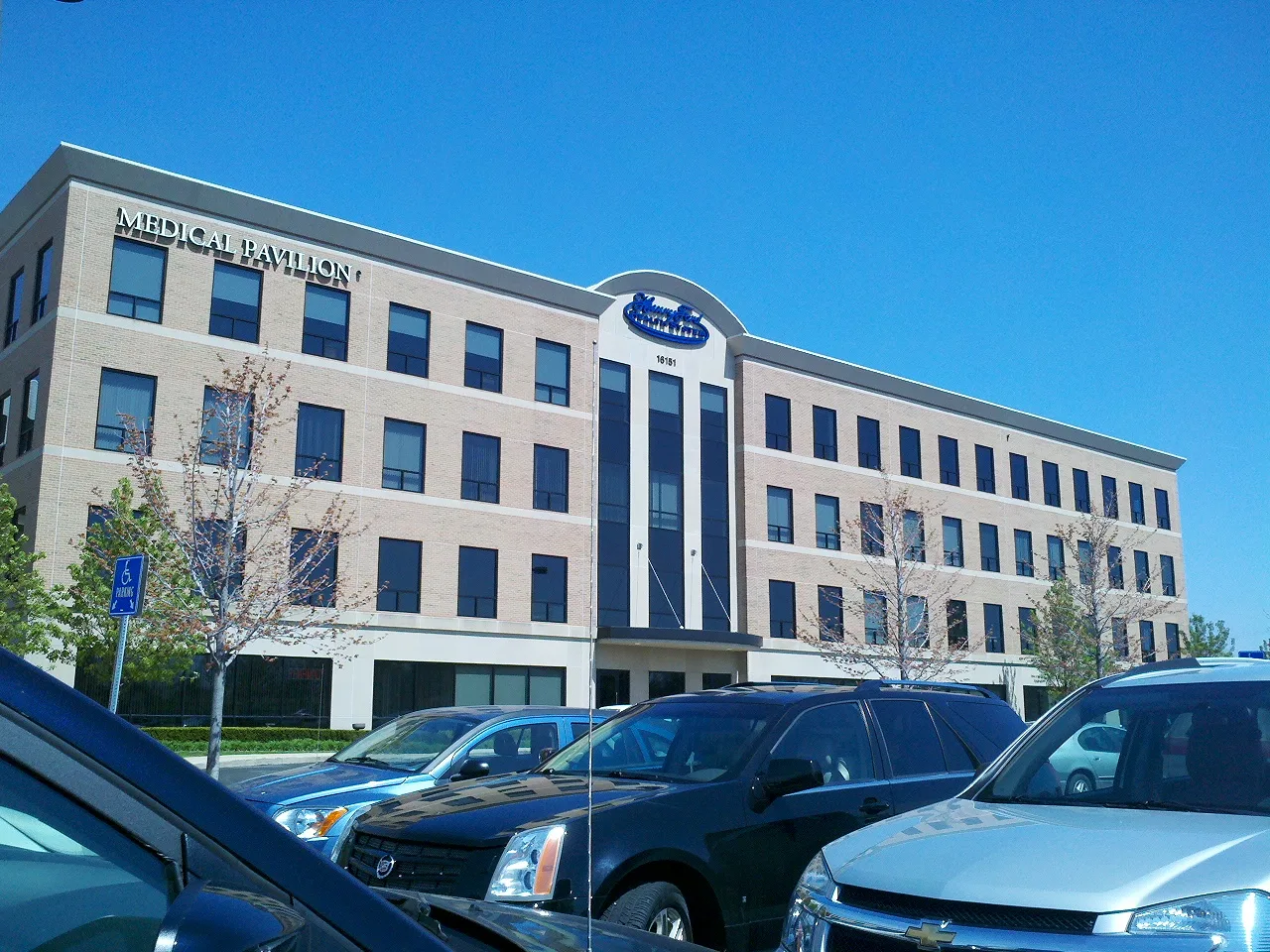
Henry Ford Macomb Professional Offices0.1 mi
River Oaks Suites0.2 mi
Silver Stone Office Center0.3 mi
Dalcoma Commons0.3 mi
Dalcoma Professional Park0.3 mi
Clinton Medical Center0.3 mi
Clinton Oaks Professional Center0.4 mi
Lincoln Center0.4 mi
Lorell Professional Center0.4 mi
Commercial buildings nearby
Change Healthcare0.3 mi
Dentist's offices nearby
A1 Comfort Dentistry0.3 mi
Drains nearby
Kenner Drain0.4 mi
Residential areas nearby
Saint Joseph Sub0.3 mi
Park Ridge Condminiums0.5 mi
Schultz Estates0.5 mi
Retail areas nearby
Campus Plaza0.2 mi
Marios Plaza0.4 mi
University buildings nearby
Classroom and Laboratory Building0.2 mi
Engineering & Technology Center, OU0.3 mi
 Public transit map Clinton Township Legend
| Railway | |
| Bus | |
| Streetcar |
 Bicycle map Clinton Township Legend
| Bike path | |
| Bike lane on roadway | |
| Cycling allowed on bus lane | |
| Bicycle street | |
| Open to cyclists | |
| Open to cyclists, good path | |
| Cycling prohibited | |
| Cobblestone |
| Long-distance bike route | (depending on scale) | |
| Long-distance bike route |
 Pedestrian map Clinton Township Legend
| Path |
| Long-distance hiking trail | (depending on scale) | |
| Long-distance hiking trail | ||
| Pedestrians prohibited |