
Mobile Avenue in Gulfport, Mississippi
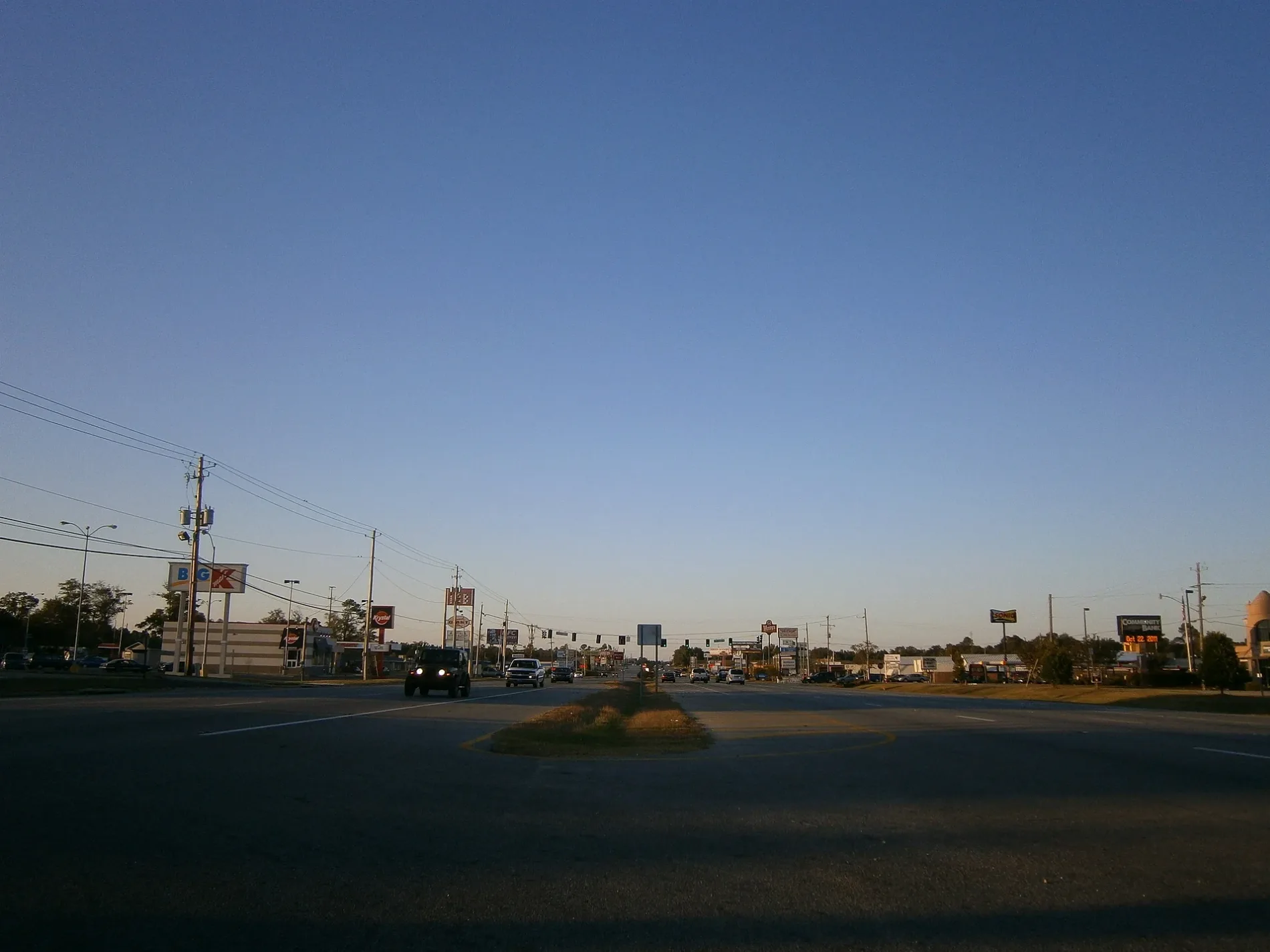
Mobile Avenue in Gulfport is a residential street. It runs in an east-west direction and ends at Saint Charles Street, while the other end is a cul-de-sac. Nearby there is a restaurant.
- Road Type
- residential street
- Route
- east-west
Image
Restaurants
Streets nearby
Parkwood Drive South450 ft
New Orleans Avenue North0.1 mi
Saint Charles StreetSonic, Pure Smiles Dental of Gulfport
0.1 mi
Cedar Court0.1 mi
Northwood Drive0.1 mi
13th StreetBeachy Daiquiri & Hookah Lounge
0.1 mi
Government Street0.1 mi
Ashley Drive0.2 mi
Willow Circle0.2 mi
Hamilton Street0.2 mi
Royal Street0.2 mi
Oakwood Court0.2 mi
Dellwood Cove0.3 mi
Cindy Cove0.3 mi
Lafitte Place0.3 mi
Ginger Cove0.3 mi
Barrone Street0.3 mi
Oak Lane0.3 mi
Christian Place0.3 mi
Carondelet Street0.3 mi
Dogwood Cove0.3 mi
Pinewood Court0.3 mi
Old Hwy 49Orange Grove Elementary School
0.3 mi
Christy Cove0.3 mi
Depew Road0.3 mi
Parkwood Boulevard0.3 mi
Debbie Cove0.4 mi
Leslye Avenue0.4 mi
Edwards Lane0.4 mi
Dog Leg Road0.4 mi
Mimosa Drive0.4 mi
Elmwood Court0.4 mi
7th Street0.4 mi
Lyndell Street0.4 mi
Sunset Court0.4 mi
Kenwood Drive0.4 mi
Davis CircleTaco Bell, Burger King
0.4 mi
Baywood Circle0.4 mi
Parkwood Drive North0.4 mi
Fernwood Cove0.4 mi
Bars nearby
The Pour House0.4 mi
Fast food restaurants nearby
Popeyes0.1 mi
Savvy Sliders0.2 mi
Whataburger0.3 mi
Captain D's0.3 mi
Taco Sombrero0.4 mi
Libraries nearby
Orange Grove Public Library0.3 mi
Places of worship nearby
Saint Joseph Catholic Church0.4 mi
Railways nearby
CPKC Gulfport Branch0.3 mi
 Public transit map Gulfport Legend
| Railway | |
| Bus | |
| Streetcar |
 Bicycle map Gulfport Legend
| Bike path | |
| Bike lane on roadway | |
| Cycling allowed on bus lane | |
| Bicycle street | |
| Open to cyclists | |
| Open to cyclists, good path | |
| Cycling prohibited | |
| Cobblestone |
| Long-distance bike route | (depending on scale) | |
| Long-distance bike route |
 Pedestrian map Gulfport Legend
| Path |
| Long-distance hiking trail | (depending on scale) | |
| Long-distance hiking trail | ||
| Pedestrians prohibited |