
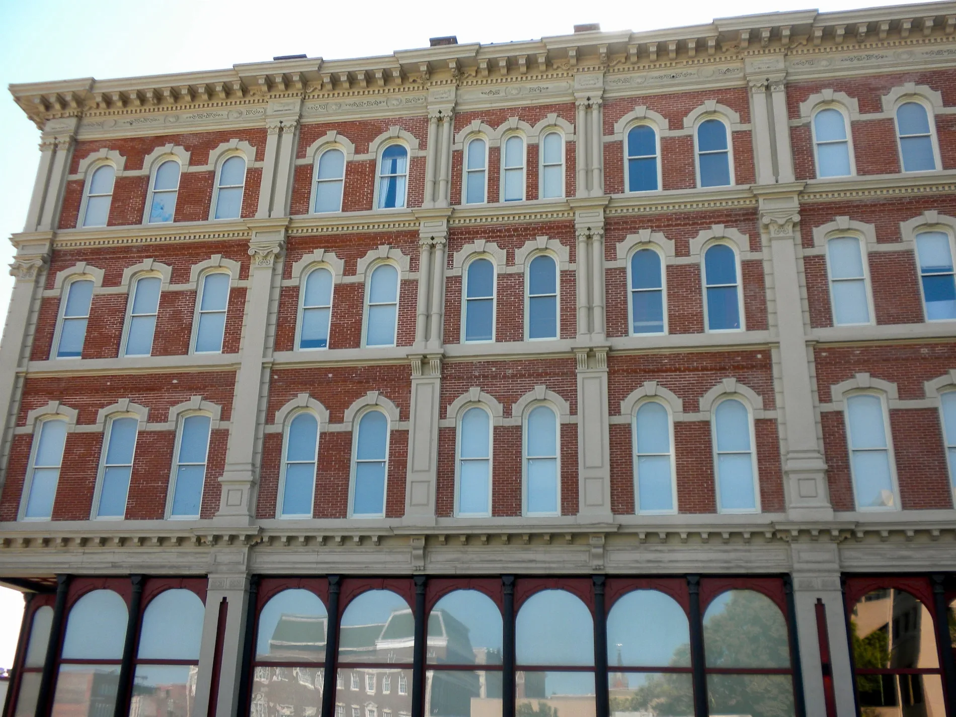
Robidoux Street in St. Joseph, Missouri
Robidoux Street in Saint Joseph is a residential street. It runs in an east-west direction starting from East Robidoux Street and crosses North 2nd Street, North 3rd Street, North 4th Street, North 5th Street, North 6th Street and North 7th Street.
- Road Type
- residential street
- Route
- east-west
Image
Schools
Pubs
Gift shops
Sporting goods stores
Attractions
Places of worship
Hair salons
Craft stores
Banks
Florists
Restaurants
Artworks
Tea shops
Clothing stores
Cafes
Delis
Streets nearby
North 3rd Street400 ft
East Robidoux Street0.1 mi
Faraon Street0.1 mi
East Antoine Street0.1 mi
Isadore Street0.1 mi
Francis StreetThe Lucky Tiger, Restoration Church, Pony Express Monument, Geneo's Pizza and Pub, RC's Lunch Car
0.2 mi
East Louis Street0.2 mi
North 2nd Street0.2 mi
North 6th Street0.2 mi
North 4th Street0.2 mi
Main Street0.3 mi
North 7th Street0.3 mi
North 5th Street0.3 mi
South 3rd Street0.3 mi
South 2nd Street0.3 mi
Edmond StreetSherwood School, 1st Barrel Brewing, President Lincoln Mural, Edmond Street Parlor, Equity Bank, Mokaska Coffee Company, Garden Gate Flowers
0.3 mi
South 4th Street0.3 mi
Jules Street0.3 mi
South 5th Street0.3 mi
South 6th StreetMake12 Church
0.3 mi
South 7th StreetJake's Steakhouse & Sports Bar
0.3 mi
Felix StreetAlchemy Tea Co
0.3 mi
Sylvanie Street0.4 mi
Charles StreetThe Big FIsh
0.4 mi
Apartment buildings nearby
The Lofts at 415300 ft
Fourth Strreet Lofts0.2 mi
Lofts At Landmark0.2 mi
Corby Place0.3 mi
Banks nearby
U.S. Bank0.2 mi
Commerce Bank0.3 mi
Buildings nearby
Roubidoux Center0.2 mi
State of Missouri Office Building0.2 mi
Saint Joseph Scottish Rite Masonic Center0.2 mi
United Way0.3 mi
Commercial buildings nearby
American Electric Building0.1 mi
Hillyard Building0.1 mi
St. Joseph Convention Center0.2 mi
Missouri Valley Trust Building0.2 mi
The Boder Building0.2 mi
Einbender Building0.3 mi
United Department Stores0.3 mi
Ground Round0.4 mi
Sunshine Electronic Display0.4 mi
Courthouses nearby
Buchanan County Courthouse0.1 mi
Hotels nearby
Radisson Hotel and Conference Center0.3 mi
Parks nearby
Western Gateway0.3 mi
Places of worship nearby
First Presbyterian Church0.3 mi
Christ Episcopal Church0.3 mi
Social facilities nearby
Benton Club0.3 mi
Public transit map Saint Joseph Legend
| Railway | |
| Bus | |
| Streetcar |
Bicycle map Saint Joseph Legend
| Bike path | |
| Bike lane on roadway | |
| Cycling allowed on bus lane | |
| Bicycle street | |
| Open to cyclists | |
| Open to cyclists, good path | |
| Cycling prohibited | |
| Cobblestone |
| Long-distance bike route | (depending on scale) | |
| Long-distance bike route |
Pedestrian map Saint Joseph Legend
| Path |
| Long-distance hiking trail | (depending on scale) | |
| Long-distance hiking trail | ||
| Pedestrians prohibited |