
South Colby Street in Hamilton, Missouri
South Colby Street in Hamilton is a residential street. It runs in a north-south direction starting from East Berry Street and crosses East School Street, East Middle Street, East Chestnut Street, East Walnut Street, East Division Street, East Burdick Street and East Irwin Street. It ends in a cul-de-sac.
- Road Type
- residential street
- Route
- north-south
Image
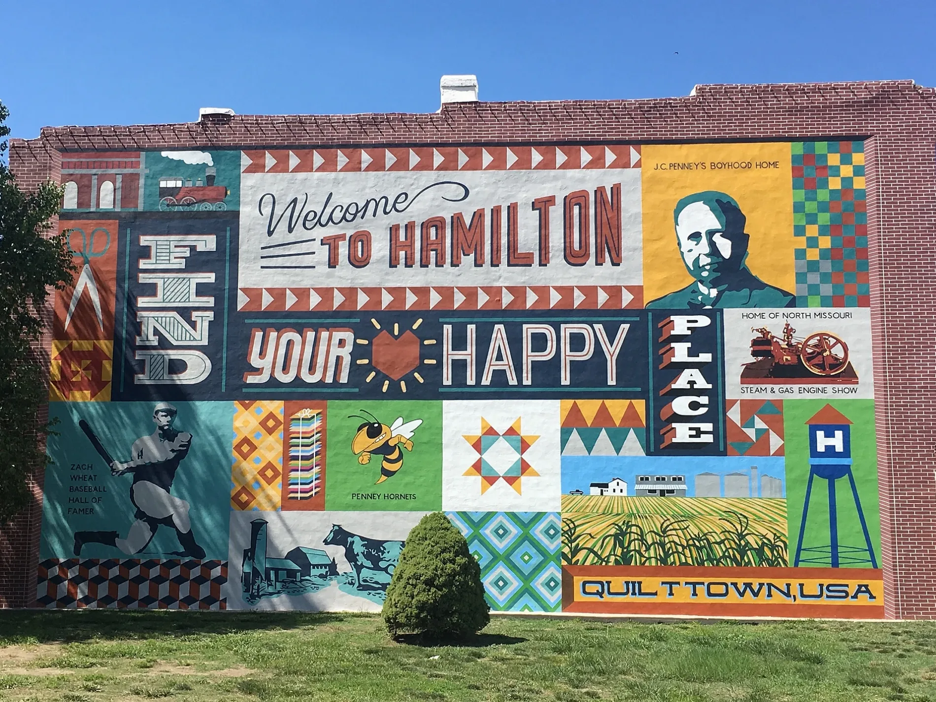
Fast food restaurants
Rv parks
Streets nearby
East Walnut Street300 ft
East Chestnut Street350 ft
South Davis Street350 ft
East Division Street450 ft
East Middle Street500 ft
East Burdick Street550 ft
South Johnson Street0.1 mi
West Garden Lane0.1 mi
West Park Street0.1 mi
South Enos Street0.1 mi
Jones Avenue0.1 mi
South Dudley Street0.2 mi
Dudley Street0.2 mi
East School Street0.2 mi
South Ardinger Street0.2 mi
East Berry Street0.2 mi
East Railroad Street0.3 mi
East Mc Gaughy Street0.3 mi
Er Penny Street0.3 mi
East Bird Street0.4 mi
Shops nearby
Quilt-it0.2 mi
Missouri Star Quilt Company0.3 mi
Licensed to Sew0.3 mi
Penney's Quilt Shop0.3 mi
Auto repair shops nearby
M & M Motor Co150 ft
Banks nearby
Bank Northwest0.1 mi
Hamilton Bank0.3 mi
Buildings nearby
Windmill Insurance Agency450 ft
State Farm - Michael Green0.2 mi
New York Life0.3 mi
CenturyLink0.3 mi
Clinics nearby
Hamilton Family Health Center0.2 mi
Fire stations nearby
Hamilton Fire Department400 ft
Florists nearby
Twigs Rust 'N Dust0.2 mi
Olive & Honey0.4 mi
Funeral homes nearby
Bram Funeral Home0.1 mi
Hair salons nearby
Hair Lodge0.2 mi
Laundries nearby
Spin City550 ft
Motels nearby
Morning Star Inn and Cottage150 ft
Museums nearby
Missouri Quilt Museum0.4 mi
Parks nearby
J.C. Penney Boyhood Home0.3 mi
Places of worship nearby
Sacred Heart Parish550 ft
Hamilton Federated Church0.2 mi
Police stations nearby
Hamilton Police Department0.2 mi
Restaurants nearby
Eggo's Cafe0.3 mi
Supermarkets nearby
Hy Klas0.3 mi
Theaters nearby
Hamilton Community Arts Theatre0.3 mi
Town halls nearby
Hamilton City Hall0.1 mi
Variety stores nearby
Dollar General0.2 mi
Public transit map Hamilton Legend
| Railway | |
| Bus | |
| Streetcar |
Bicycle map Hamilton Legend
| Bike path | |
| Bike lane on roadway | |
| Cycling allowed on bus lane | |
| Bicycle street | |
| Open to cyclists | |
| Open to cyclists, good path | |
| Cycling prohibited | |
| Cobblestone |
| Long-distance bike route | (depending on scale) | |
| Long-distance bike route |
Pedestrian map Hamilton Legend
| Path |
| Long-distance hiking trail | (depending on scale) | |
| Long-distance hiking trail | ||
| Pedestrians prohibited |