
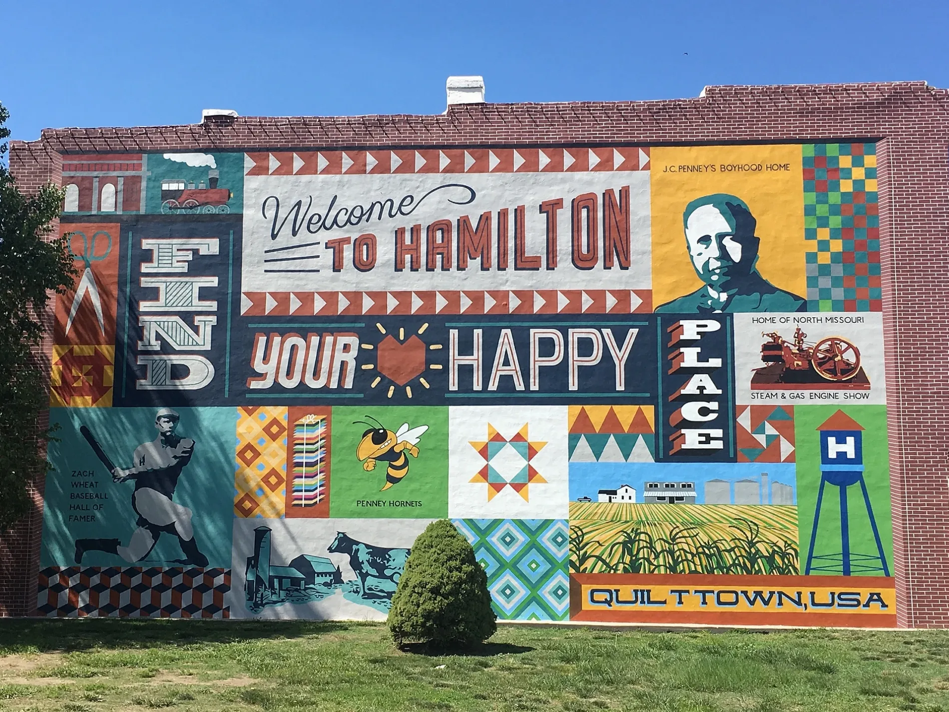
West Samuel Street in Hamilton, Missouri
West Samuel Street in Hamilton is a local road. It runs in an east-west direction starting from West Samuel and crosses North Gallatin Avenue, North Frame Street, North Ardinger Street and North Davis Street and ends at East Samuel Street. This street is part of the highway "CC".
- Road Type
- local road
- Route
- east-west
Image
Museums
Rv parks
Streets nearby
North Ardinger Street200 ft
West Arthur Street400 ft
West 6th Street450 ft
North Hughes Street550 ft
North Frame Street0.1 mi
West 7th Street0.1 mi
West Bird StreetSubway
0.1 mi
North Burrus Street0.1 mi
Er Penny Street0.2 mi
West 8th Street0.2 mi
North Davis StreetHamilton, J.C. Penney Museum
0.2 mi
East 6th Street0.2 mi
East Railroad Street0.2 mi
East Mc Gaughy Street0.3 mi
East 8th Street0.3 mi
North Ritchie Street0.3 mi
East 7th Street0.3 mi
East Bird Street0.3 mi
East Samuel Street0.3 mi
East Berry Street0.3 mi
Shops nearby
Penney's Quilt Shop0.2 mi
Licensed to Sew0.2 mi
Missouri Star Quilt Company0.2 mi
Quilt-it0.3 mi
Banks nearby
Hamilton Bank0.2 mi
Buildings nearby
Levi Garrison and Sons Brewing0.1 mi
CenturyLink0.2 mi
New York Life0.2 mi
State Farm - Michael Green0.3 mi
Clinics nearby
Hamilton Family Health Center0.3 mi
Farm supply stores nearby
MFA Exchange500 ft
Florists nearby
Olive & Honey0.2 mi
Twigs Rust 'N Dust0.3 mi
Hair salons nearby
Hair Lodge0.2 mi
Libraries nearby
Hamilton Public Library0.1 mi
Museums nearby
Missouri Quilt Museum0.3 mi
Parks nearby
J.C. Penney Boyhood Home0.2 mi
Playground0.3 mi
Places of worship nearby
Church of Christ250 ft
Hamilton Baptist Church0.3 mi
Hamilton Federated Church0.3 mi
Post offices nearby
Hamilton Post Office0.1 mi
Restaurants nearby
Kathy's Kitchen450 ft
Eggo's Cafe0.2 mi
Specialty stores nearby
Hamilton Lumber300 ft
Supermarkets nearby
Hy Klas0.2 mi
Swimming pools nearby
Hamilton Municipal Pool0.3 mi
Theaters nearby
Hamilton Community Arts Theatre0.2 mi
Variety stores nearby
Dollar General0.3 mi
 Public transit map Hamilton Legend
| Railway | |
| Bus | |
| Streetcar |
 Bicycle map Hamilton Legend
| Bike path | |
| Bike lane on roadway | |
| Cycling allowed on bus lane | |
| Bicycle street | |
| Open to cyclists | |
| Open to cyclists, good path | |
| Cycling prohibited | |
| Cobblestone |
| Long-distance bike route | (depending on scale) | |
| Long-distance bike route |
 Pedestrian map Hamilton Legend
| Path |
| Long-distance hiking trail | (depending on scale) | |
| Long-distance hiking trail | ||
| Pedestrians prohibited |