
Cypress Drive in Kansas City, Missouri
Cypress Drive in Kansas City is a residential street and it runs in a north-south direction starting from East 104th Street and crosses 104th Street and ends at East 105th Street. Cypress Drive also exists in Greenwood.
- Road Type
- residential street
- Route
- north-south
Image
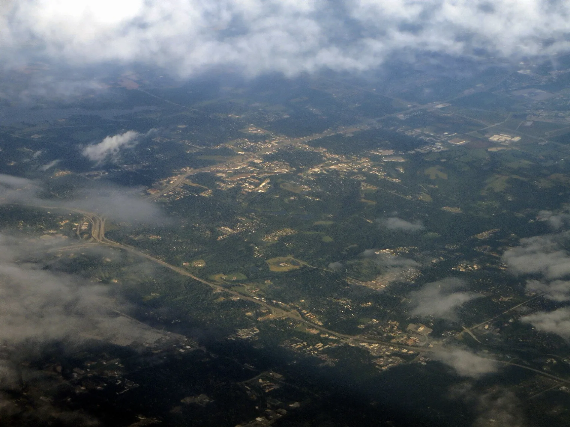
Post offices
Variety stores
Fire stations
Fast food restaurants
Self storages
Places of worship
Schools
Supermarkets
Auto repair shops
Cannabis dispensaries
Thrift stores
Gas stations
Streets nearby
East 105th StreetChargePoint, Sonesta Select Kansas City South Overland Park
200 ft
104th Street250 ft
Kensington AvenueDedicated Senior Medical Center, Worlds Liquor Xpress, Kensington at 44th, Kensington at 45th
350 ft
East 104th Street450 ft
104th Terrace0.1 mi
Norton Avenue0.3 mi
Wenzel Avenue0.3 mi
Spruce AvenueSpruce at 12th
0.3 mi
East 107th Street0.3 mi
East 103 Street0.4 mi
East 103rd StreetThe Boy Scout by Robert Tait McKenzie
0.4 mi
Hickman Mills DrivePhillips 66, There Is Hope Fellowship Centre, Dodson, Fast Stop
0.4 mi
Marion Ridge Drive0.4 mi
East 107 Terrace0.4 mi
Cleveland AvenueCleveland at 41st, Cleveland at 51st, Cleveland at 53rd, Krispy Krunchy Chicken, Jackson at Emanuel Cleaver, Cleveland at 55th, Cleveland at Blue Parkway, Cleveland at 45th
0.4 mi
East 108th Street0.5 mi
East 105th TerraceSaint Catherine Catholic Church, Dollar General
0.5 mi
Cypress AvenueEast Community North, Independence at Cypress
0.5 mi
East 106th TerraceSaint Catherine School
0.5 mi
Birchwood Drive0.5 mi
Mersington Avenue0.5 mi
East Grandview Road0.5 mi
Ruysser Road0.6 mi
Monroe AvenueIngleside
0.6 mi
East 107th Terrace0.6 mi
109th Street0.6 mi
Askew AvenueOak Park Northeast
0.6 mi
Marion Park Drive0.6 mi
East 109th Terrace0.6 mi
East 100th Terrace0.6 mi
Scott Road0.6 mi
Grandview RoadCenter of Islamic Education in North America
0.7 mi
Bales Avenue0.7 mi
Indiana AvenueFlinn, Spirit of Truth Church, Indiana at 20th, Indiana at 23rd, Scoop-N-Scoot, Joey Cuts Barber / Salon, Three-Nine Mini Mart, Indiana at 35th, Indiana at 39th, Indiana at 26th, Indiana at 27th, Indiana at 28th, Indiana at 29th, Indiana at 31st, Indiana at Linwood, Indiana at 37th, Indiana at 33rd, Indiana at 36th, Indiana at 45th, Indiana at 44th, Indiana at 43rd, Indiana at 42nd, Indiana at 41st, Oak Park Southeast, Indiana at 24th Terrace
0.7 mi
Amenities nearby
Cerner Kids0.4 mi
Abandoned railways nearby
Frisco0.5 mi
Bakeries nearby
Fox & Bull Baking Co.0.3 mi
Commercial buildings nearby
Catalent0.5 mi
Cerner Realization Campus0.6 mi
Golf courses nearby
Oakwood Country Club0.8 mi
Parks nearby
Scott Park0.5 mi
Religious areas nearby
Stonecroft Ministries0.4 mi
Residential areas nearby
Westridge Manor0.2 mi
Birchwood Hills0.4 mi
Saint Catherine's Gardens0.5 mi
Royal Oaks of Etem0.5 mi
Greenbrier Estates0.6 mi
Retail buildings nearby
Birchwood Center0.3 mi
Streams nearby
Hart Grove Creek0.3 mi
Public transit map Kansas City Legend
| Railway | |
| Bus | |
| Streetcar |
Bicycle map Kansas City Legend
| Bike path | |
| Bike lane on roadway | |
| Cycling allowed on bus lane | |
| Bicycle street | |
| Open to cyclists | |
| Open to cyclists, good path | |
| Cycling prohibited | |
| Cobblestone |
| Long-distance bike route | (depending on scale) | |
| Long-distance bike route |
Pedestrian map Kansas City Legend
| Path |
| Long-distance hiking trail | (depending on scale) | |
| Long-distance hiking trail | ||
| Pedestrians prohibited |